


Title and statement of responsibility area
Titel
Algemene aanduiding van het materiaal
- Graphic material
Parallelle titel
Overige titelinformatie
Title statements of responsibility
Titel aantekeningen
Beschrijvingsniveau
archiefbewaarplaats
referentie code
Editie
Editie
Edition statement of responsibility
Class of material specific details area
Statement of scale (cartographic)
Statement of projection (cartographic)
Statement of coordinates (cartographic)
Statement of scale (architectural)
Issuing jurisdiction and denomination (philatelic)
Datering archiefvorming
Datum(s)
-
1945 - 1946 (Vervaardig)
- Vervaardiger
- John Hart Highway
Fysieke beschrijving
Fysieke beschrijving
73 photographs : b&w
Publisher's series area
Title proper of publisher's series
Parallel titles of publisher's series
Other title information of publisher's series
Statement of responsibility relating to publisher's series
Numbering within publisher's series
Note on publisher's series
Archivistische beschrijving
Naam van de archiefvormer
Institutionele geschiedenis
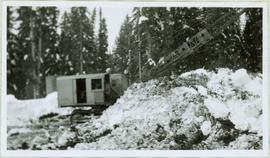
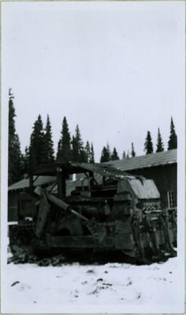
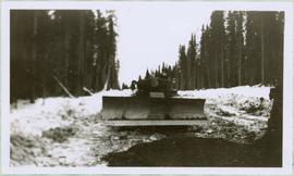
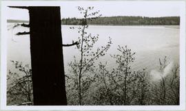
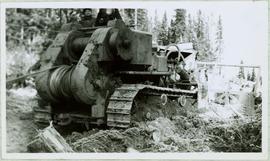
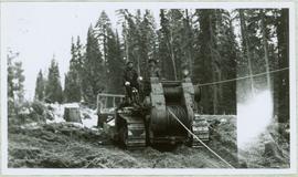
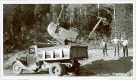
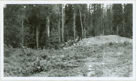
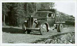
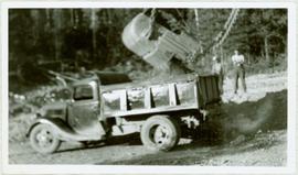
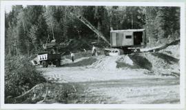
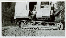
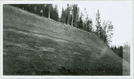
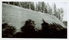
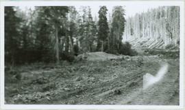
This 405 km long stretch of Highway 97, named for former British Columbia Premier John Hart, begins at Prince George, traveling for 152 km north through the small hamlet of Summit Lake, which is situated at the Continental Divide, as well as, through Crooked River Provincial Park, Bear Lake and McLeod Lake, to its intersection with Highway 39. It then journeys northeast another 150 km through the Continental Divide at which point the time zone changes from Pacific Time to Mountain Time. After emerging from the Pine Pass, the highway intersects with Highway 29 at the town of Chetwynd. After a trek of another 97 km east, the Hart Highway terminates at Dawson Creek, BC.
Bereik en inhoud
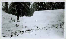
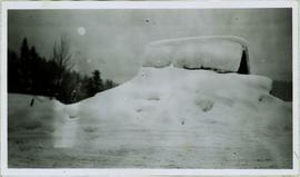
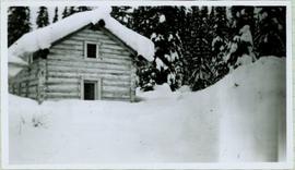
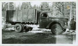
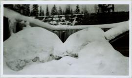
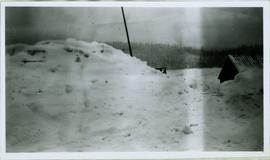
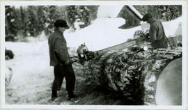
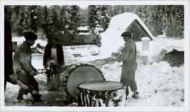
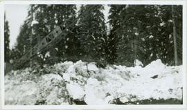
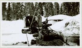
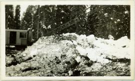
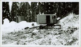
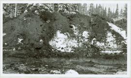
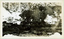
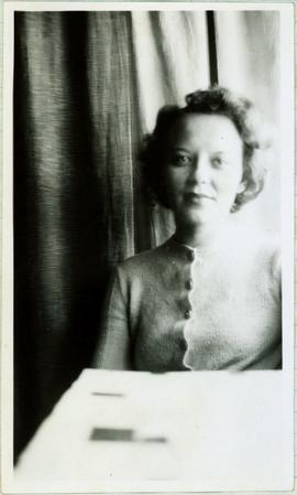
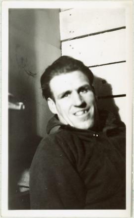
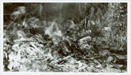
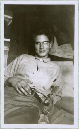
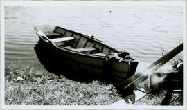
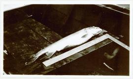
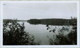
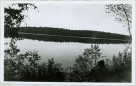
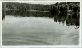
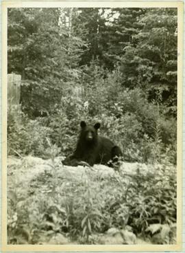
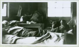
Collection consists of 73 photographs featuring the construction of the John Hart Highway in Prince George, BC from 1945-1946. Images depict construction, machinery, workers, bunkhouses, persons, wildlife, and buildings all associated with this construction project around the Summit Lake region of the city.
Aantekeningen
Ordening
Taal van het materiaal
- Engels
Schrift van het materiaal
Plaats van originelen
Northern BC Archives & Special Collections
Beschikbaarheid in andere opslagformaten
Tiffs & Jpegs
Restrictions on access
Termen voor gebruik, reproductie en publicatie.
Personal or academic use of photographic materials is welcomed under the standard fair use and educational use clauses of Canadian Copyright Law. Commercial use is, however, forbidden without the express permission of the copyright holder. For information on obtaining written permission from the copyright holder, please contact the Northern B.C. Archives and Special Collections.
Toegangen
Item level descriptions are available.
Associated materials
Aanvullingen
Algemene aantekening
Many of the photographs in this collection have associated handwritten annotations.