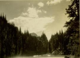
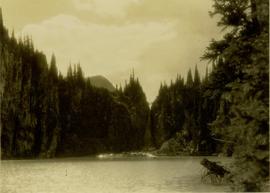
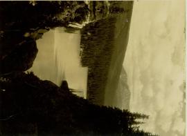
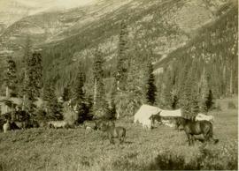
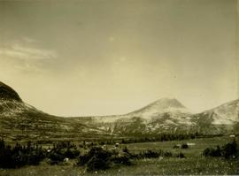
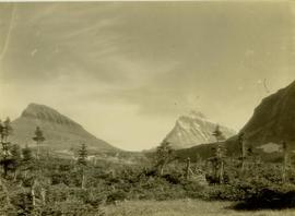
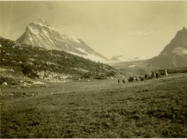
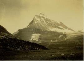
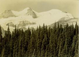
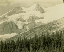
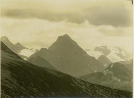
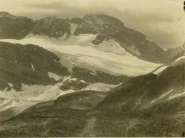
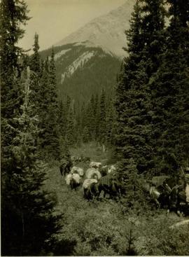
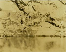
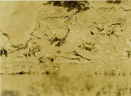
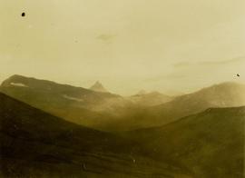
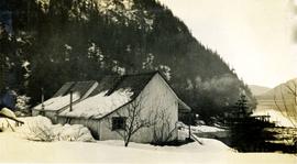
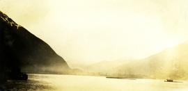
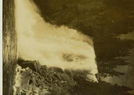
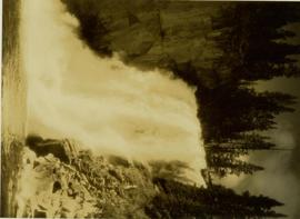
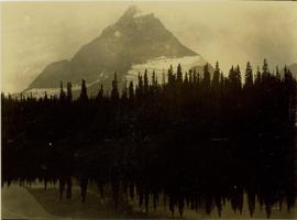
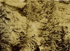
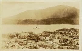
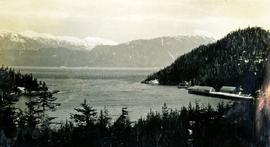
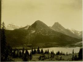
Location further identified as perspective from above upper Dimsdale Lake, looking through Gray Pass to Mt. Koona.
Lower Sherman Lake was named for Prentiss Gray's son, Sherman Gray. Area also known as lower Dimsdale Lake.
Exact location questionable and has been speculated as being near Muinok Lake (also known as Belcourt Lake) or Sherman Lake (also known as lower Dimsdale Lake.
Mt. Koona (right) and Mt. Ida (left) visible in background.
Mt. Gray is also known as Mt. Petrie.
Large glacier visible.
Barbara Lakes also known as Jarvis Lakes.
Location identified as upper Torrens basin.
Two men in leather fringed jackets and cowboys hats waiting with cups in hand while a third man tries to open a bottle with a spur. Annotation on verso: "What Mackenzie would call a regale, Steppi, Powers, Ramsey".
Photograph depicts a bird perched on a nest build on the side of a building. Handwritten annotation below photograph reads, "Robins nest June 1928-N.H."
Slightly elevated photograph of Prince Rupert buildings. A lone vessel is visible in the background. Printed annotation on recto reads: "Courtesy of Can Nat'l Rys. Prince Rupert. B.C." Handwritten annotation on verso reads: "Dear Elma. We reached Prince Rupert (in the picture) today. Friday we arrive at Skagway and the glaciers. Having a fine trip- good weather and a good crowd. Love from Claire." Postcard is addressed to: "Mrs. Claude Millersh, River Forest, Guerneville, Sonoma Co., California." Postcard is affixed with a two cent American stamp. Postmark on verso reads: "Ketohikan Alaska. Jun 28 3 PM 1928."
File contains slides depicting aerial views of Prince George.
Reproduced map on mylar depicts a proposed railway spur for the Aleza Lake Forest Experiment Station.
Photograph is one of six relating to Plot 108. Multiple copies of the photographs exist.
Item is a compiled hand-written data set for "Experimental Plot No. 116 (252): Rate of Growth and Mortality in the Mature Uneven-Aged White Spruce-Balsam Type" at the Aleza Lake Experimental Station.
File consists of the following articles and speeches written by Knox McCusker:
- "Reminiscences of Knox McCusker" (63 typewritten pages)
- "Back and Beyond the Peace" by K.McCusker (taken from the Toronto Star Weekly Saturday May 5, 1928) – retyped
- "The Alaska Highway" by Knox F. McCusker, D.L.S. (The Canadian Surveyor, July 1943)-photocopy
- Mr. McCusker's speech (5 pages)
- “Tropical Valleys of B.C.” (4 pages)
- "The president has called me an old old surveyor…" speech written by K. McCusker
- "In the early days of my career in the Surveying profession…" written by K. McCusker
Photograph depicts two homes with a view of the water, deep snow in the foreground, a snowy, treed mountainside in the background. Handwritten annotation below photograph reads, "Old houses at Echo Cove, 3/28".
Photograph depicts a bird's eye view of Nass Harbour, cannery on the right, open water in the midground, snow capped mountains in the background. Handwritten annotation below photograph reads, "Naas Harbour 3/28".
Photograph depicts open water, treed shoreline on the perimeter and distance. Handwritten annotation below photograph reads, "Head of Portland canal, taken 7:30 pm 25/6/28".
Item is a copyprint reproduced from the British Columbia Forest Service photographic records held at BC Archives.
Muinok Lake is also known as Belcourt Lake.
Location also known as lower falls on Red Deer River.