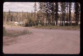
2012.13.1.3.162
·
Item
·
May 2001
Part of J. Kent Sedgwick fonds
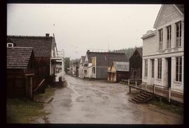
Image depicts the intersection of 5th Ave and Highway 97 looking northeast. Map coordinates 53°55'14.0"N 122°46'54.8"W