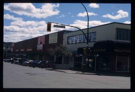
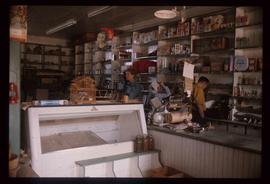
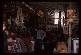
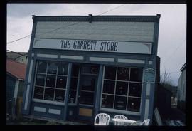
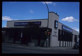
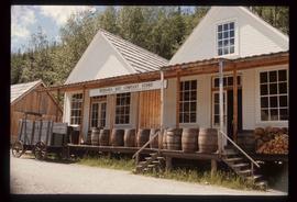
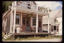
Showing 112 results

Archival description
3rd Avenue
2012.13.1.7.222 · Item · May 2001
Part of J. Kent Sedgwick fonds

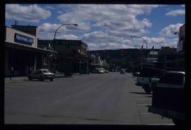
Image depicts a view of 3rd Avenue with the Columbus Hotel prior to the fire that destroyed it in 2008.

A Building
2012.13.1.37.39 · Item · [1980?]
Part of J. Kent Sedgwick fonds

Image depicts a building somewhere in Wells, B.C. There is a sign in one window which reads "Lon Oddfrey Insurance Realty LTD."

A Hotel
2012.13.1.59.27 · Item · July 1980
Part of J. Kent Sedgwick fonds

Image depicts a hotel in what appears to be a small community, possibly an outlying area of Bralorne, B.C.

A Motel?
2012.13.1.59.29 · Item · July 1980
Part of J. Kent Sedgwick fonds

Image depicts what appears to be a motel somewhere near Bralorne, B.C.

A Street in Wells
2012.13.1.37.16 · Item · 1978
Part of J. Kent Sedgwick fonds

Image depicts a street in Wells, B.C. The Sunset Theatre and Gold Country Food Market are both present in the image.

Atlin - the Garrett Store
2012.13.1.98.37 · Item · 1999
Part of J. Kent Sedgwick fonds

Image depicts the Garrett Store in Atlin, B.C. A plaque on it reads: "John Garrett, a prominent English cricket player, came to Atlin in 1910 to mine gold. In 1917 he opened this grocery and dry goods store where he also sold his wife's fresh baked bread and sweets."

2012.13.1.87.067 · Item · [between 1975 and 1995]
Part of J. Kent Sedgwick fonds

Image depicts a row of buildings in Upper Fraser, B.C. with the store (titled "Paradise") with a Pepsi sign. Map coordinates 54°07'09.1"N 121°56'47.0"W

Businesses
2012.13.1.7.250 · Item · [2003?]
Part of J. Kent Sedgwick fonds

Image depicts a street of businesses, possibly 3rd Avenue, in Prince George, B.C.

Central Business District
2012.13.1.3.057 · Item · July 1979
Part of J. Kent Sedgwick fonds

Image depicts the Central Business District of Prince George looking north from Connaught Hill. Map coordinates 53°54'41.4"N 122°44'58.5"W

Central Street West
2012.13.1.3.115 · Item · 12 Oct. 1989
Part of J. Kent Sedgwick fonds

Image depicts Central Street West, parallel to Highway 97 in Prince George, B.C. looking north. Shown: Prince George Motors and other car dealerships, Burger King, Grama's Inn, and the Spruceland Shopping Mall sign. Map coordinates 53°54'42.1"N 122°46'53.1"W

2012.13.1.3.108 · Item · 12 Oct. 1989
Part of J. Kent Sedgwick fonds

Image depicts 4th Ave at Quebec St, showing the following businesses: The Yarn Barn, Golden Chalice Jewellers, Dandy Lines, Ultrasport, and Saveco. Map coordinates 53°54'58.6"N 122°44'47.5"W

2012.13.1.3.110 · Item · 12 Oct. 1989
Part of J. Kent Sedgwick fonds

Image depicts George St in downtown Prince George with City Hall in the background. Also visible are the Prince George Hotel, Ming's Inn Chinese Restaurant, Fraser Stationers Ltd., Weiner King food cart, and a movie theatre. Map coordinates 53°54'55.0"N 122°44'36.1"W

Forman's General Store
2012.13.1.37.33 · Item · [1980?]
Part of J. Kent Sedgwick fonds

Image depicts the abandoned and crumbling Forman's General Store somewhere in or near either Barkerville or Wells, B.C.