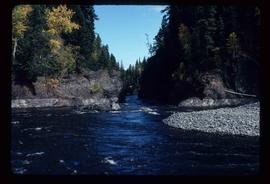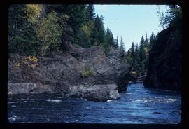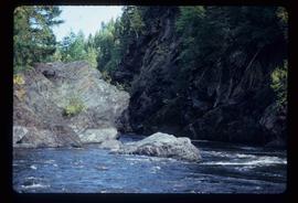
2012.13.1.6.165
·
Item
·
Nov. 1980
Part of J. Kent Sedgwick fonds
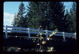
Image depicts a bridge over Blackwater River, with an unknown individual standing on it.