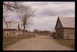
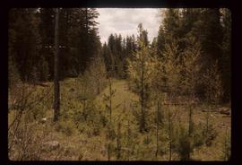
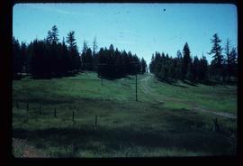
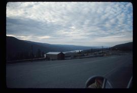
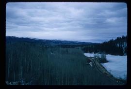
Image depicts the Cariboo Road passing through the Cottonwood House Historic Site.
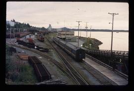
Image depicts the rail yards in Prince Rupert.
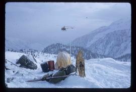
Image depicts a helicopter flying over the Woolsey Glacier.
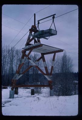
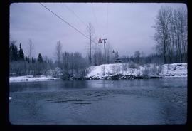
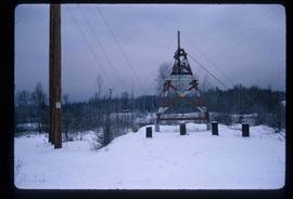
Image depicts the cableway in Willow River, B.C.
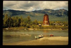
Image depicts several boats on what appears to be a river, and an old beehive burner in Penny, B.C.
File contains slides depicting places along the east line of the BC Railway. Some are duplicates of the images found in the "East Line, Dome Creek - Lamming Mills - Misc" file.
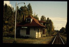
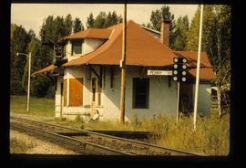
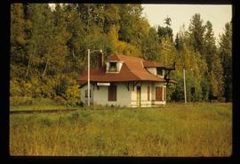
Image depicts the CN Station in Penny B.C.
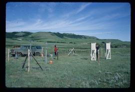
Image depicts two unidentified individuals and a van on a farm at an uncertain location, possibly a place called Cypress Hill, with an atmometer and a sunshine recorder.
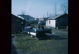
Image depicts a damaged, upturned car in Island Cache.
File contains slides depicting Highway 16 West, from Isle Pierre to Hazelton.
Image depicts the cableway, stretching over a river, in Willow River, B.C.
Image depicts the cableway in Willow River, B.C.
File contains slides depicting Highway 97 South.
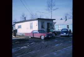
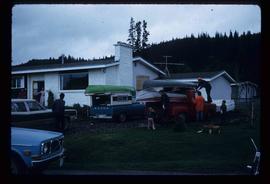
Image depicts a house in Island Cache. There are several cars parked outside it.
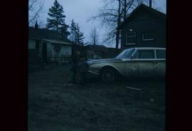
Image depicts two children standing near an old car in Island Cache.
Subseries consists of material collected and created by Kent Sedgwick for research regarding transportation. Includes notes and research on airplanes, specifically Prince George aviation and the Junkers aircraft named "The City of Prince George"; highway transportation; the Grand Trunk Pacific Railway; ferry boat service including the Fraser River Fort George ferry, the Isle Pierre ferry, and the Miworth ferry; the Pacific Great Eastern Railway line; the British Columbia Railway; and the Canadian National Railway. Also includes essays and typed documents on railway history in Prince George.
File consists of notes, clippings, and reproductions relating to ferry boat service in and around Prince George. Includes material regarding the Fraser River Fort George ferry; the Isle Pierre ferry; and the Miworth ferry. File also includes photographs depicting a building at Isle Pierre in the 1970s and the ferry crossing at Isle Pierre in 2005.
Image depicts the CN Station in Penny B.C. A woman, possibly Sue Sedgwick, is sitting against the outside wall.
Image depicts the CN Station in Penny B.C.
Image depicts a road leading to Prince Rupert, B.C.
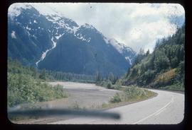
Image depicts the Skeena River alongside Highway 16 en route to Prince Rupert, B.C.
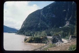
Image depicts a mountain located somewhere along the Skeena River, and a road alongside it.
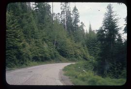
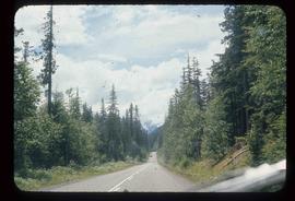
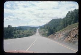
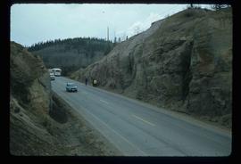
Image depicts Highway 16 en route to Prince Rupert, B.C.
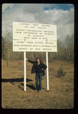
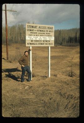
Image depicts an unknown individual leaning against a sign at the Stewart Access Road which warns travellers to pack several days of food. Located in Hazelton, B.C.
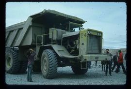
Image depicts an 80 tonne truck at a mine site somewhere in Granisle, B.C.
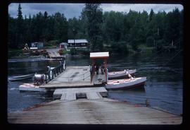
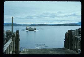
Image depicts the ferry at Isle Pierre, B.C.
Image depicts a stretch of road through the Bulkley Valley.
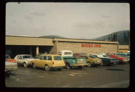
Image depicts numerous vehicles parked outside a building with a sign which reads "Mackenzie Centre;" it is possibly the mall in Mackenzie, B.C.
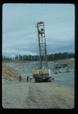
Image depicts a drill for blasting holes at a mine site somewhere in Granisle, B.C.
Image depicts numerous bags of blasting powder at a mine site somewhere in Granisle, B.C.
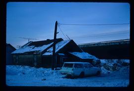
Image depicts a vehicle parked beside a small, wooden house in Upper Fraser, B.C. Map coordinates 54°07'05.7"N 121°56'38.9"W
Image depicts a man, possibly Kent Sedgwick, leaning against a sign forbidding public traffic on the Stewart Access Road from between 5 am to 8 pm. Located in Hazelton, B.C.
Image depicts a stretch of road somewhere at Burns Lake, B.C.
Image depicts a boat on Babine Lake, taken from Granisle, B.C.
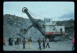
Image depicts a large, electric shovel at a mine site somewhere in Granisle, B.C.
Image depicts a green car among some trees on Cottonwood Island.
Image depicts a group of people preparing to depart on a trip. Location is uncertain, though it is possibly in Prince George, B.C.
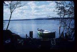
Image depicts a green canoe sitting in the water on the shore of Carp Lake.
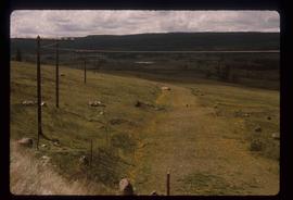
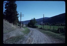
Image depicts the old, grown-over Cariboo Road at an uncertain location.
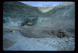
Image depicts the Gibraltar mine site north of Williams Lake, B.C.
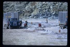
Image depicts a number of workers putting in blasting powder at the Gibraltar mine site north of Williams Lake, B.C.
Image depicts the old, grown-over Cariboo Road at an uncertain location.
Image depicts the Cariboo Road south of Williams Lake.
Image depicts a rail road construct from Highway 97 at Mile 126; the slide is also labelled "McAlister."
Image depicts a loading truck at the Gibraltar mine site north of Williams Lake, B.C.
Image depicts the Cariboo Road at Hat Creek Ranch, near Highway 99 on the way to Lillooet.
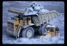
Image depicts an 80 tonne truck full of rocks at the Gibraltar mine site north of Williams Lake, B.C.
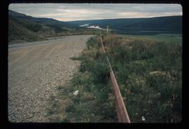
Image depicts a road with a guardrail and open fields somewhere near Dawson Creek, B.C.
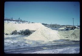
Image depicts the BCR tracks passing through a mill somewhere near the 100 Mile.
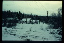
Image depicts a snow-covered road with vehicle tracks, and several houses. The location is uncertain.
