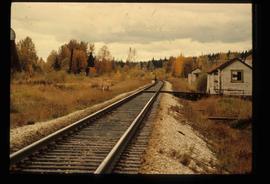
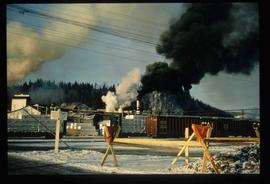
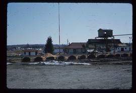
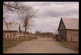
Image depicts railway tracks and buildings with a beehive burner on the left. The location is likely Sinclair Mills, B.C. Map coordinates 54°01'17.4"N 121°40'53.0"W
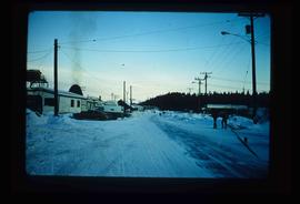
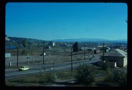
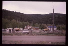
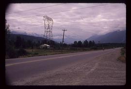
Image depicts the Upper Fraser Road running through Upper Fraser, B.C. A beehive burner is seen in the background on the left and the mill office is seen on the right. Map coordinates 54°07'05.7"N 121°56'38.9"W
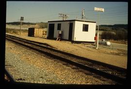
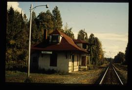
Image depicts the new CN station in Giscome, B.C. Map coordinates 54°04'20.7"N 122°22'01.1"W
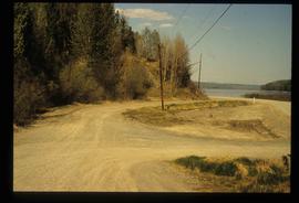
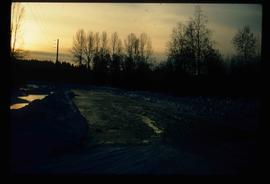
Image depicts the former location of the Giscome mill foreman's house on the hill with Eaglet Lake in the background. Map coordinates 54°04'28.0"N 122°22'05.8"W
Image depicts a snowy road at an uncertain location.
Image depicts the CN Station in Penny B.C.
Image depicts several trains at the Giscome mill site in Giscome, B.C. Map coordinates 54°04'19.7"N 122°22'04.7"W
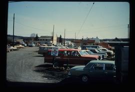
Image depicts a parking lot full of vehicles with the Giscome store in the background. Map coordinates 54°04'18.5"N 122°21'57.7"W
Image depicts the CN Station, with bundles of wood sitting near the tracks, in Giscome, B.C. Map coordinates 54°04'32.3"N 122°21'42.3"W
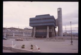
Image depicts the W.A.C. Bennett Dam in Hudson's Hope, B.C.
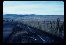
Image depicts a view of Chetwynd, possibly from Highway 97.
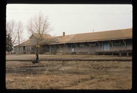
Image depicts a set of railway tracks and a long building located somewhere in the Peace River Region.
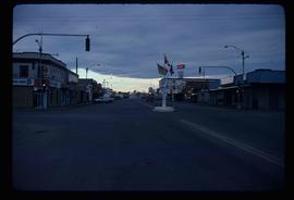
Image depicts a street of businesses and Mile "0" of the Alaskan Highway in Dawson Creek, B.C.
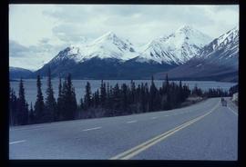
Image depicts the road to Skagway, Alaska. Possibly located on the Klondike Highway in British Columbia with Tutshi Lake on the left.
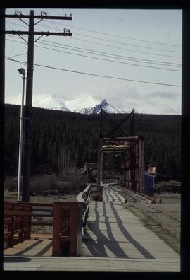
Image depicts a railway bridge, possibly in the small town of Fraser, located on the Klondike Highway in B.C.
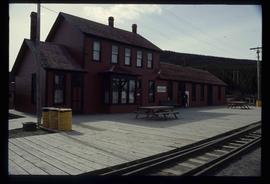
Image depicts the train station in Carcross, Y.T.
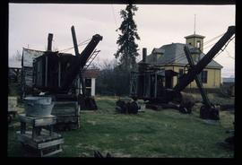
Image depicts old machinery, at the Atlin Museum in Atlin, B.C.
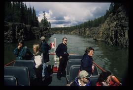
Image depicts several unidentified individuals on a boat in the Miles Canyon near Whitehorse Y.T.
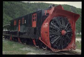
Image depicts the restored White Pass Snow Plow No.1 in Skagway, Alaska.
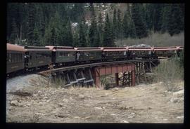
Image depicts the White Pass Train crossing over a railway bridge at an uncertain location.
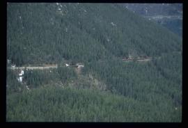
Image depicts another train on the White Pass railway along a forested mountain side.
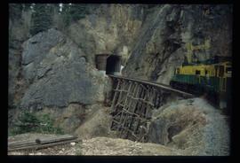
Image depicts the White Pass Train entering a tunnel in the mountain side.
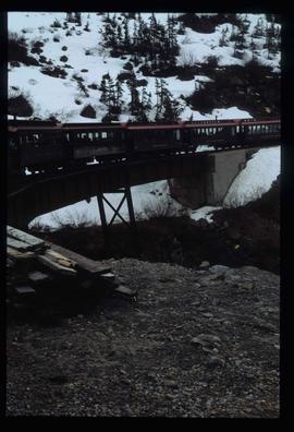
Image depicts the White Pass Train crossing over a railway bridge at an uncertain location in the mountains.
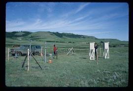
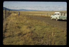
Image depicts two unidentified individuals and a van on a farm at an uncertain location, possibly a place called Cypress Hill, with an atmometer and a sunshine recorder.
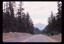
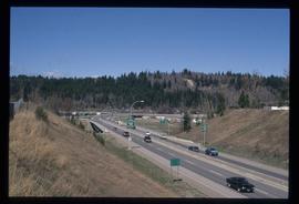
Image depicts a highway, and a section of mountain in the background which is bare due to clear-cut logging. It is possibly somewhere near Prince George, B.C.
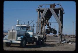
Image depicts a trailer for a logging truck suspended off the ground by a wooden structure. This is used to load the trailer onto the back of the truck. The name on the truck says "Rormarniewich Trucking Ltd."
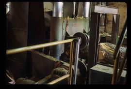
Image depicts machinery in a saw mill somewhere in Prince George, B.C.
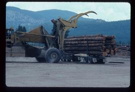
Image depicts a piece of heavy machinery lifting numerous logs off the back of a logging truck. It is likely located in Prince George, B.C.
Image depicts the Canadian National Railway Yards in Prince George, B.C.
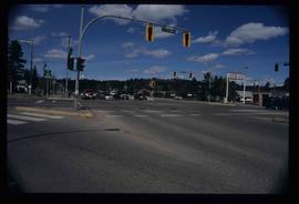
Image depicts the intersection of 5th Ave and Highway 97 looking northeast. Map coordinates 53°55'14.0"N 122°46'54.8"W
Image depicts the old, grown-over Cariboo Road at an uncertain location.
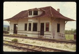
Image depicts the old Goat River Train Station in Goat River, B.C.
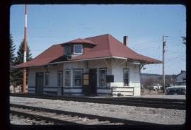
Image depicts the old Giscome Train Station in Giscome, B.C. It was demolished between 1976 and 1977.
Image depicts the Cariboo Road passing through the Cottonwood House Historic Site.
Image depicts an unknown woman on a road in the upper Fraser Canyon.
Image depicts a house and numerous rundown vehicles in Dog Creek, B.C.
Image depicts Highway 99 north of Squamish, near Pemberton, B.C.
Image depicts Highway 99 near Pemberton, B.C.
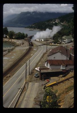
Image depicts a train in an uncertain location, though it is possibly Howe Sound in the background.
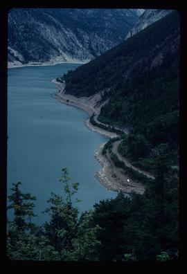
Image depicts an elevated view of a lake and a road located somewhere near Bralorne, B.C.
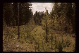
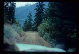
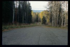
Image depicts a dirt road leading through a forest.
Image depicts a highway, possibly Highway 97, in Prince George, B.C.
Image depicts a road near the Ginter House in Prince George, B.C.
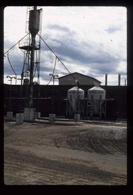
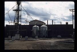
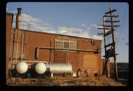
Image depicts what is possibly a train fuelling station at the GTP Roundhouse in Prince George, B.C.
Image depicts what is possibly a train fuelling station at the GTP Roundhouse in Prince George, B.C.
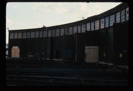
Image depicts the Grand Trunk Pacific railway roundhouse in Prince George, B.C.
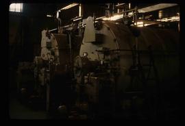
Image depicts machinery in the GTP roundhouse in Prince George, B.C.
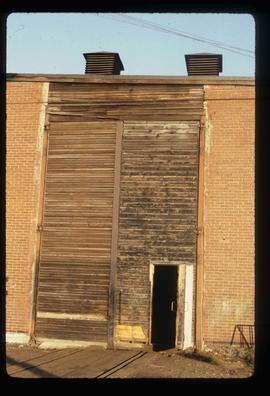
Image depicts the GTP roundhouse in Prince George, B.C.
Image depicts the GTP roundhouse in Prince George, B.C.
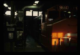
Image depicts a train in the interior of the GTP roundhouse in Prince George, B.C.
