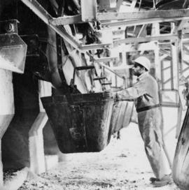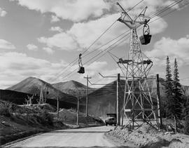
2000.1.1.3.17.002
·
Pièce
·
[ca.1958]
Fait partie de Cassiar Asbestos Corporation Ltd. fonds
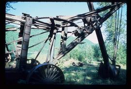
Photograph depicts dump truck under power lines and tramlines on gravel road. Buckets hang on line, mountains in background.