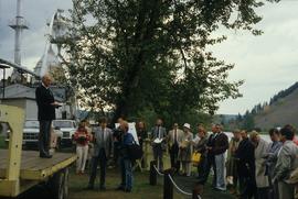
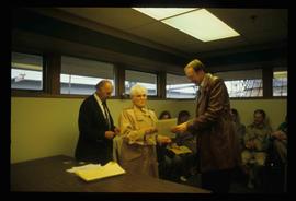
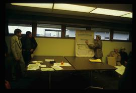
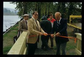
Image depicts a group of people in Cottonwood Park with an individual, possibly former mayor Elmer Mercier, making an announcement.
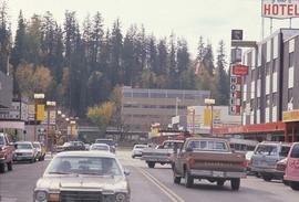
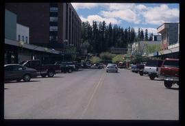
Image depicts George St in downtown Prince George with City Hall in the background. Also visible are the Prince George Hotel and a movie theatre. Map coordinates 53°54'55.0"N 122°44'36.1"W
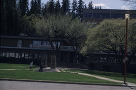
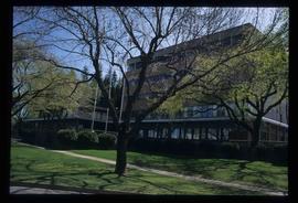
Image depicts Prince George City Hall. Map coordinates 53°54'46.3"N 122°44'41.9"W
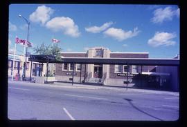
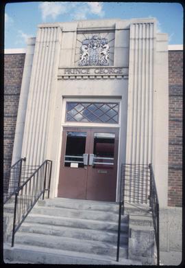
Image depicts the Canadian Forces Recruiting Centre on the north side of 3rd Ave in Prince George, B.C.
Image depicts the Canadian Forces Recruiting Centre on the north side of 3rd Ave in Prince George, B.C.
Image depicts a view of George Street with the Prince George City Hall at the corner of George Street and 7th Avenue.
Image depicts City Hall in Prince George, B.C.
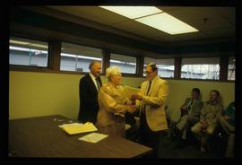
Image depicts a man and woman shaking hands in a building at an uncertain location, possibly in Cottonwood Park. The man standing behind the two is possibly Elmer Mercier, a former mayor of Prince George, B.C.
Image depicts a woman holding a sheet of paper in a room with numerous other unidentified individuals. The man standing behind her is possibly Elmer Mercier, a former Mayor of Prince George, B.C.
Image depicts a man holding up a board which appears to have maps of the Cottonwood Park on it.
Image depicts Elmer Mercier, a former mayor of Prince George, B.C., cutting the ribbon to open Cottonwood Park's Heritage Trail.
Photograph depicts a mayoral portrait of John Backhouse.
The Canada Chart depicts Canadian federal and provincial and government information and graphics.
Subseries includes research material created and collected by Kent Sedgwick relating to land survey, development, and settlement in Prince George and British Columbia. Land surveys were conducted in British Columbia by surveyors George Dawson, the North Coast Land Company, Alfred R.C. Selwyn, and the Geological Survey of Canada during the late 19th and early 20th centuries. James C. Anderson and engineer J. Gill conducted topographical surveys for the Grand Trunk Pacific Railway on Fort George and the Indian Reserve. Surveyors and land plot companies developed the land for sale to promote settlement in the area. Also includes materials regarding the continued development of the City of Prince George throughout the 20th century. The files primarily consist of newspaper clippings, research notes, and photocopied documents.
