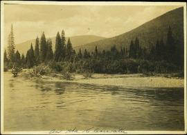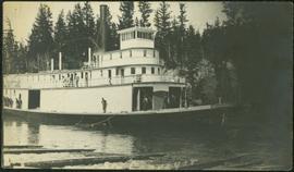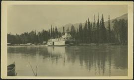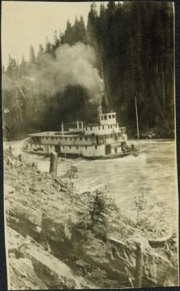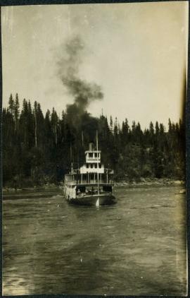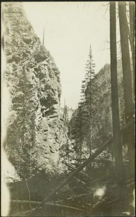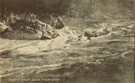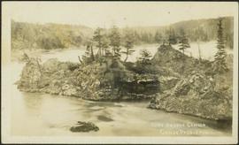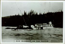
2009.5.3.1
·
Item
·
[ca. 1913]
Part of Taylor-Baxter Family Photograph Collection
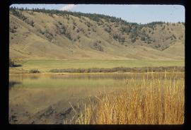
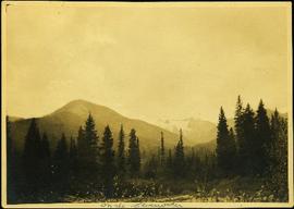
Photograph depicts mountains in background behind forest trees. River barely visible behind bushes at bottom of photo. Handwritten photo caption on verso and recto of this photograph reads: "On the Clearwater."