Drawing depicts visual notes taken at the 2020 Public Health Summer Institute with the theme "Think Globally, Act Locally: Public Health and the Anthropocene". Themes related to the COVID-19 pandemic are depicted.
This map is the May 2008 amendment (Bylaw 8061) of the Schedule C of the 2001 Official Community Plan, Bylaw No. 7281 for the City of Prince George. This Schedule C map shows the long range land use for the City of Prince George.
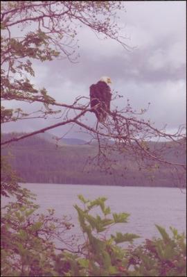
Handwritten annotation on verso reads: “Bald Eagle, Skidegate, 2007”.
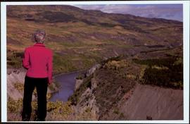
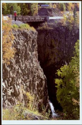
Handwritten notation affixed to verso reads: “Stikine Canyon Sept 2006”.
Image depicts the Dunlevy Creek area somewhere near Dawson Creek, B.C. The slide is simply labelled "Dunlevy irrigation" for uncertain reasons.
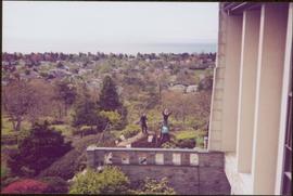
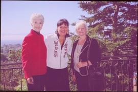
Trees and town can be seen from balcony, and mountains are visible across water in background. Handwritten annotation on verso reads: “Aug 2006, Her Honor, Dorothy Grant & Carole Sabiston”.
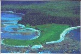
Handwritten annotations on verso read: “Lawn Pool, Memorial, West Coast, VI, Summer ’06,” and “Sept. 15, 2006”.
An 'X' is marked in ink on forest in centre.
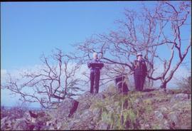
The Lieutenant Governor stands next to bridge and highway at top of image, cliffs and white water rapids visible below.
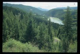
Image depicts rail road tracks through a forest, as well as a river; located in Soda Creek, B.C.
This map is the October 2006 amendment (Bylaw 7807) of the Schedule C of the 2001 Official Community Plan, Bylaw No. 7281 for the City of Prince George. This Schedule C map shows the long range land use for the City of Prince George.
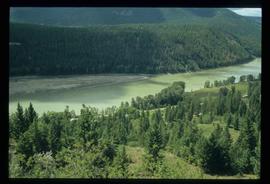
Image depicts a forest and river in Soda Creek, B.C.
This map is the May 2006 amendment (Bylaw 7807) of the Schedule C of the 2001 Official Community Plan, Bylaw No. 7281 for the City of Prince George. This Schedule C map shows the long range land use for the City of Prince George.
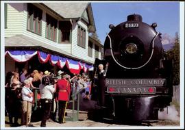
Front of engine reads "BRITISH COLUMBIA, CANADA", "2860". Decorated building stands in left background. A man with large video camera and an RCMP officer in a red serge can be seen standing in crowd. Mountain peak visible in distance.
Image depicts the Dunlevy Creek area somewhere near Dawson Creek, B.C. The slide is simply labelled "Dunlevy irrigation" for uncertain reasons.
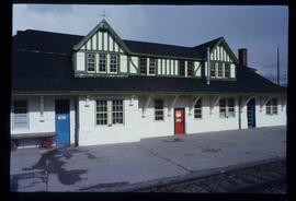
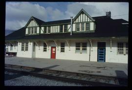
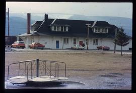
Image depicts the CN Station in McBride, B.C.
Image depicts the CN Station in McBride, B.C.
Image depicts the rear-end of the CN Station in McBride, B.C.
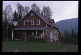
Image depicts an old house somewhere in McBride, B.C.
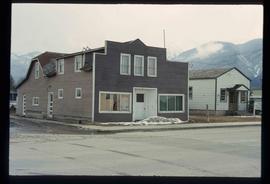
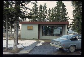
Image depicts a machine shop somewhere in McBride, B.C. The sign above the door reads "McBride Air Cooled Engine Services Ltd."
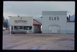
Image depicts the Elks Hall in McBride, B.C.
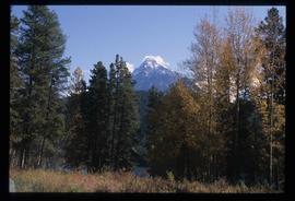
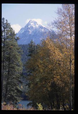
Image depicts Mt. Fitzwilliam.
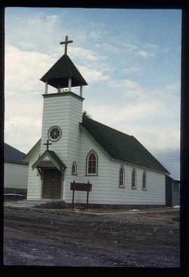
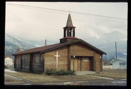
Image depicts a church somewhere in McBride, B.C. The sign in front possibly reads "St. Patrick's Church."
Image depicts the new Hansard Bridge. Map coordinates 54°04'57.9"N 121°51'10.1"W
Image depicts the new Hansard Bridge. Map coordinates 54°04'57.9"N 121°51'10.1"W
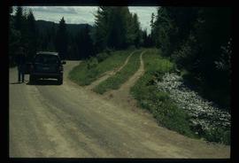
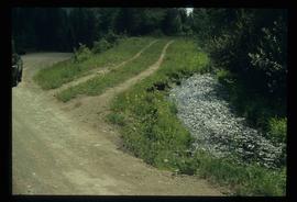
Image depicts an old road through the trees near Yellowhead Pass. The slide labels it as the origin of the Yellowhead highway.
Image depicts Mt. Fitzwilliam.
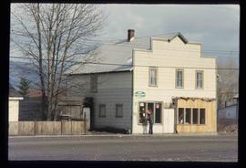
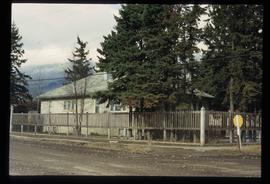
Image depicts a house somewhere in McBride, B.C.
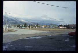
Image depicts McBride, B.C.
Image depicts the McBride District Centennial Library.
Image depicts a house with torn-up siding. The slide is labelled: "Mellos house relocated from Penny." The location is uncertain.
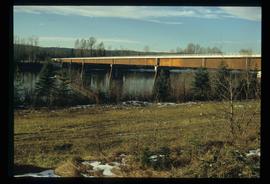
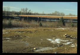
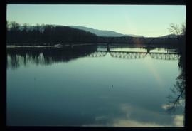
Image depicts the Hansard railroad bridge taken from the new Hansard vehicle bridge. Map coordinates 54°04'58.1"N 121°50'58.0"W
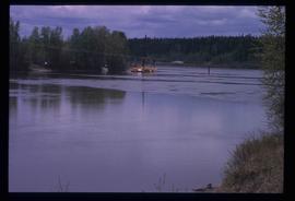
Image depicts what appears to be a ferry crossing a river at an uncertain location.
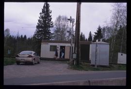
Image depicts two unidentified individuals speaking to each other in the doorway of what appears to be a mobile home. The location is uncertain.
Campagnolo stands at portable podium next to large speaker and an unidentified aide-de-camp. Photograph was taken at Terrace Gardens, Government House, Victoria, B.C.
Handwritten annotation on verso reads: “Goodbye to Friends of Govt House Garden Society”.
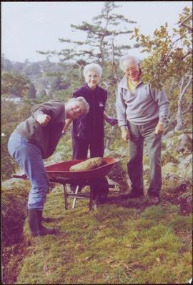
Photograph was taken at Government House in Victoria, B.C.
Handwritten annotation on verso reads: “Moving Rocks on the Terraces”.
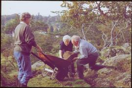
Photograph was taken at Government House in Victoria, B.C.
Handwritten annotation on verso reads: “Govt House, Working on Terrace Garden, Nov 2004".
Image depicts the All Saints Anglican Church in McBride, B.C. The slide labels it as having "moved to PG."
Image depicts Bellos Road, most likely in Red Rock, B.C.
This street map of the VLA area in Prince George includes property outlines and street numbers.
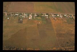
Image depicts an aerial view of what is possibly an outlying area of Prince George, B.C.
Photograph features Terrace Gardens.
Image depicts Bellos Road, most likely in Red Rock, B.C.
File consists of the following materials:
- Letter to Vernon C. Brink from the National Archives of Canada re: Knox McCusker holdings (March 1, 1999)
- Photocopy of article: "Living Landscapes: Exploring the wilds of northeaster BC" by Ross Peck and Brian Apland
- Some materials for an article on Knox McCusker, D.L.S.
- Material about the life of Knox Freeman McCusker
- Letter to Mrs. Rutherford (Oct. 5, 1999) re: access to interview of Knox McCusker by Frank Willis
- Accession information print-out re: interview of Knox McCusker by Frank Willis in 1954
- National Archives of Canada accession information print-out re: Dominion Land Surveyor Diaries, 1881-1930
- Mary Henry / Knox McCusker "Team" (April 19, 1998)
- Letter to Mrs. Rutherford from George Ungar re: background information on Knox McCusker
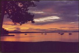
Handwritten annotation on verso reads: “Sunset at North Cove Thetis Island Adam Hunter”.
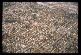
Image depicts an aerial view of a Prince George residential section between Highway 97, Carney Street and 10th Ave looking north. Map coordinates 53°54'54.0"N 122°46'00.4"W
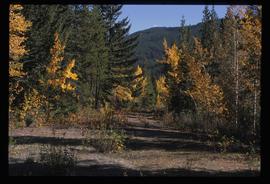
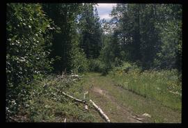
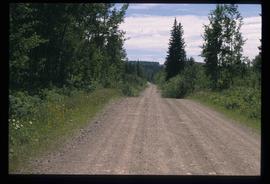
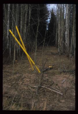
Image depicts a clearing through the woods, possibly an abandoned grade for the BCR. It is possibly located on Iron Road South, near Woodpecker B.C.
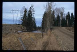
Image depicts Iron Road North, and a creek surrounded by trees. Located north of Woodpecker, B.C.
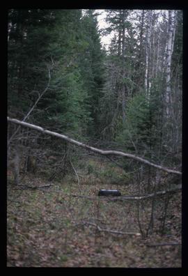
Image depicts a forest, possibly somewhere near Woodpecker, B.C.

![City of Prince George - Schedule C of the Official Community Plan - Long Range Land Use Map [May 2008 Amendment]](/uploads/r/northern-bc-archives-special-collections-1/4/3/a/43a9e75941f1542735d999de340307d163e79dffdadbf4546bb9346b63f7e734/2023.5.1.41_-_2008_May_-_City_of_Prince_George_Long_Range_Land_Use_Map_JPG85_tb_142.jpg)
![City of Prince George - Schedule C of the Official Community Plan - Long Range Land Use Map [October 2006 Amendment]](/uploads/r/northern-bc-archives-special-collections-1/6/d/6/6d643c10801eba2ac493689972e57429dba42ec7592f54cb55151b96362d7048/2023.5.1.40_-_2006_Oct_-_City_of_Prince_George_Long_Range_Land_Use_Map_JGP85_tb_142.jpg)
![City of Prince George - Schedule C of the Official Community Plan - Long Range Land Use Map [May 2006 Amendment]](/uploads/r/northern-bc-archives-special-collections-1/6/5/5/65536bc04aa97580c140131651dc357dfe5c3a1315822394f388d96940bc39cb/2023.5.1.39_-_2006_May_-_City_of_Prince_George_Long_Range_Land_Use_Map_JPG85_tb_142.jpg)
