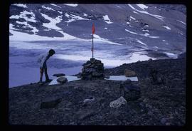
Image depicts a marker for aerial photography at an uncertain location. The slide labels it as "Elizabeth Station."
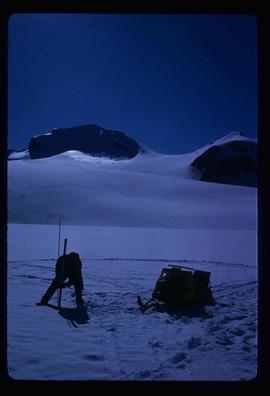
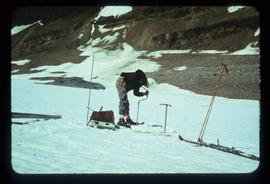
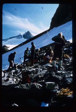
Image depicts an unidentified individual setting up some sort of pole in the snow for a process the slide labels as "snow sounding." The location is uncertain.
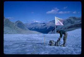
Image depicts an unidentified individual standing next to a marker and a stake at an uncertain location.
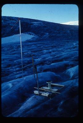
Image depicts objects, including a flag pole, that the slide labels as "survey equipment." The slide also places it as a "Peyto icefall," on the Peyto Galcier in the Banff National Park in Alberta, B.C.
File consists of notes, clippings, and reproductions relating to Quesnel, Barkerville, and Wells. Includes: "An Historic Walk of Carson Avenue, Quesnel, B.C". pamphlet prepared by the Quesnel Branch Cariboo Historical Society (1990); "Wells, B.C". pamphlet by the Wells Historical Society (1980); "Cottonwood House Provincial Historic Park" pamphlet by the Province of British Columbia (1980); and vol. 1 of the Cariboo Gazette newspaper (2002). Also includes a map depicting Bowron Lake Park in British Columbia (1968).
Image depicts an unidentified individual drilling into the ice.
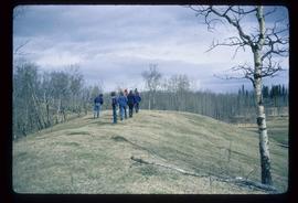
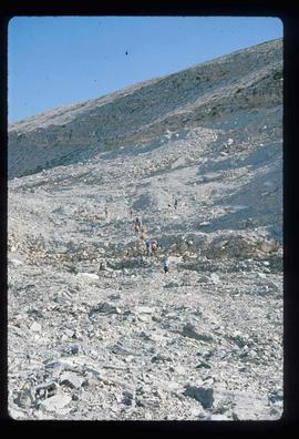
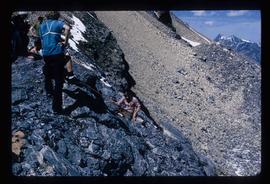
Image depicts a group of unidentified individuals walking along a crevasse filled ridge somewhere in the vicinity of Smithers, B.C. The slide also labels it as a "drift ridge."
File consists of notes, clippings, and reproductions relating to the gold rush in Quesnel and Likely, British Columbia. Includes: "Guide to the Goldfields: Cariboo Country" newspaper edition (1998); "Cariboo, Chilcotin Coast, Likely" brochure published by Likely & District Chamber of Commerce [199-]; "The UNBC Quesnel Rover Research Centre" pamphlet published by the University of Northern British Columbia (2002); "New Nugget Restaurant" paper placemat (1972); and "Likely" brochure from the Likely Chamber of Commerce [198-]. Also includes photographs depicting a camping trip in Likely, British Columbia (2010).
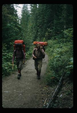
Image depicts two men on the hiking trail near Mt. Robson.
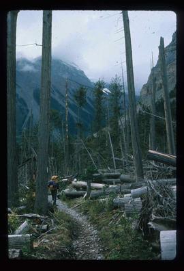
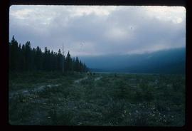
Image depicts a large number of felled trees, and an unknown individual standing on the path.
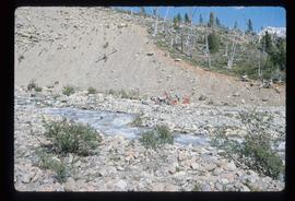
Image depicts a group of people on the rocky bank of a river somewhere near Mt. Robson.
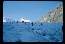
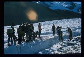
Image depicts a group of people hiking up a glacier, possibly the Robson Glacier.
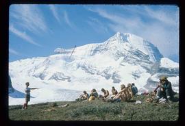
Image depicts a group of people standing on a hill, with what is possibly Mt. Robson in the background.
Image depicts a group of unknown individuals with a mountain in the background.
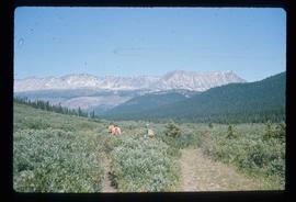
Image depicts a group of hikers somewhere in the Mt. Robson Provincial Park.
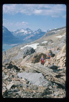
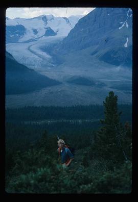
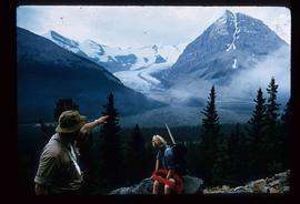
Image depicts a pair of hikers and a view of Mt. Robson Provincial Park.
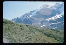
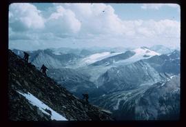
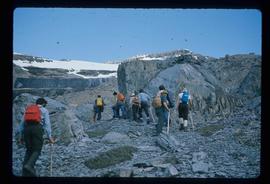
Image depicts a view of Mt. Robson Provincial Park, with a group of hikers hiking up a mountain side in the foreground.
Image depicts three men and a dog on the hiking trail near Mt. Robson.
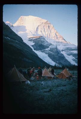
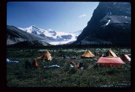
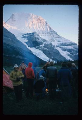
Image depicts a camp of people with Mt. Robson and the Berg Glacier in the background.
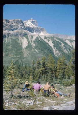
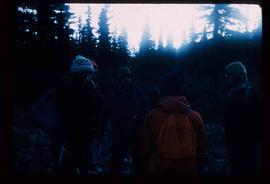
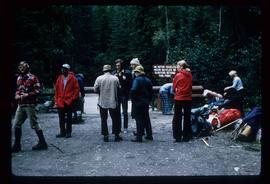
Image depicts five unknown individuals somewhere near Mt. Robson.
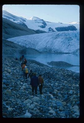
Image depicts a group of people heading towards a glacier, possibly the Robson Glacier.
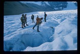
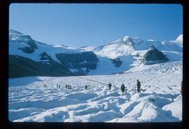
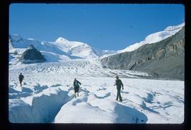
Image depicts a group of people hiking on a glacier, possibly the Robson Glacier.
Image depicts a man talking to a group of hikers, with what is possibly Mt. Robson and the Robson Glacier in the background.
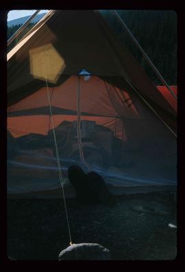
Image depicts an unknown individual reading inside a tent somewhere in Mt. Robson Provincial Park.
Image depicts a group of hikers somewhere in Mt. Robson Provincial Park.
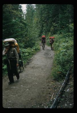
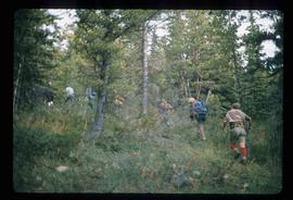
Image depicts a group of people hiking through trees somewhere in Mt. Robson Provincial Park.
Image depicts a man, with what is possibly the Robson Glacier visible in the background.
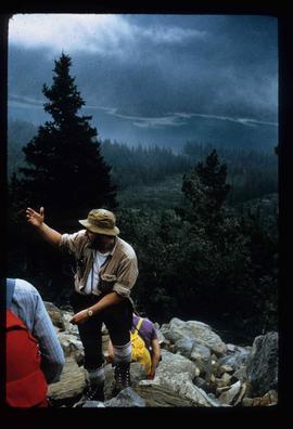
Image depicts Kent Sedgwick speaking to a group of hikers.
Image depicts a large group of individuals preparing to hike up Mt. Robson.
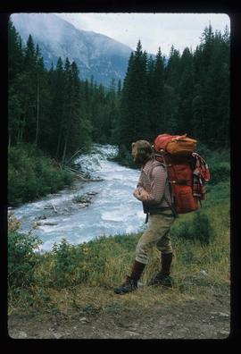
Image depicts a man on the hiking trail near Mt. Robson, with a river in the background; it is possibly the Robson River.
Image depicts a camp and what is likely Mt. Robson in the background.
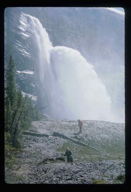
Image depicts two unknown individuals standing near a waterfall somewhere near Mt. Robson.
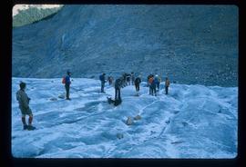
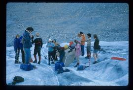
Image depicts a group of people standing on the foot of a glacier, possibly the Robson Glacier.
Image depicts a group of people hiking on a glacier, possibly the Robson Glacier.
Image depicts a group of people hiking on a glacier, possibly the Robson Glacier.
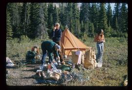
Image depicts three unknown individuals at a campsite.
Image depicts a campsite somewhere near Berg Lake.
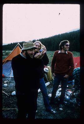
Image depicts Kent Sedgwick smoking a pipe at camp, with two other unknown individuals nearby.
Image depicts Kent Sedgwick pointing out what is possibly the Robson Glacier in the background. Another, unknown individual is also present in the image.
Image depicts a group of hikers hiking up a slope.
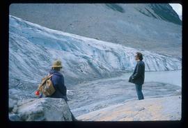
Image depicts two unknown individuals standing by a glacier somewhere in Mt. Robson Provincial Park.
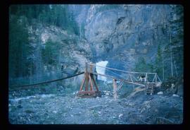
Image depicts an unknown individual and a dog on a bridge over what is possibly the Robson River.
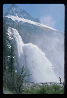
Image depicts a waterfall with a mountain peak in the background; it is most likely Mt. Robson.
Image depicts a camp of people with Mt. Robson and the Berg Glacier in the background.
Image depicts a group of people standing on the foot of a glacier, possibly the Robson Glacier.
Image depicts a group of people hiking on a glacier, possibly the Robson Glacier.
Image depicts a group of people hiking up a mountain side, possibly Mt. Robson.
Image depicts a group of hikers standing on a slope.
Image depicts a climbing either up or down a rock face.
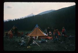
Image depicts a group of individuals at camp somewhere in Mt. Robson Provincial Park.
