File consists of notes and reproductions relating to the survey of Prince George. Includes material on survey plans, lots in Prince George, original town planning, subdivision plans, and Kent Sedgwick's handwritten notes on surveying and town planning in Prince George. File primarily includes photopied maps depicting town lots and planning in Prince George. Includes: "RE: Title Search for Fairgrounds" typescript letter from Kent Sedgwick to Dr. Dick Rowe (26 Apr. 1990) and "Map showing South Fort George, Fort George (Central) and the additions surveyed in 1910 or later" reproduced map from the Fort George Tribune newspaper.
File consists of notes and reproductions relating to the boundary survey done by A.O. Wheeler, who was employed by British Columbia Government as a surveyor in 1922 to survey the boundary between British Columbia and Alberta.
File consists of notes and reproductions relating to the planning of the Prince George townsite. Includes material on surveyors, Fred Burden, and town planners working with the landscape architects Brett and Hall on the development of the townsite. File predominantly consists of Kent Sedgwick's handwritten notes on townsite planning in Prince George. Includes a clipped article from the Prince George Citizen newspaper "Town planners involved landscape architects" (4 Nov. 2006).
File consists of notes and reproductions relating a 1913 amendment to the Land Act, which is the British Columbia legislation used by the government to transfer land to the public for community, industrial, or business use. The 1913 amendment stated that land would be free to settlers with proof of three years residence or pre-empting unsurveyed or crown land after March 1913. File primarily consists of photocopied newspaper articles discussing the amendment.
File consists of notes and reproductions relating to land exploration and surveying in British Columbia by Alfred R.C. Selwyn, who was a British geologist and public servant, director of the Geological Survey of Victoria from 1852 to 1869, director of the Geological Survey of Canada from 1869 to 1894, and President of the Royal Society of Canada from 1895 to 1896. Includes: "Photography: Mirror of the Past" American History magazine special edition (Sept. 1989) and a photocopied article "Ninety Years Later" by F.C. Swannell from The Beaver magazine (1956). File also includes reproduced photographs depicting scenes from Selwyn's exploration around British Columbia (1989).
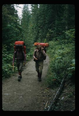
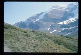
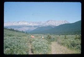
Image depicts two men on the hiking trail near Mt. Robson.
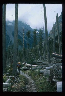
Image depicts a large number of felled trees, and an unknown individual standing on the path.
Image depicts a group of people on the rocky bank of a river somewhere near Mt. Robson.
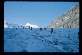
Image depicts a group of people hiking up a glacier, possibly the Robson Glacier.
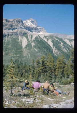
Image depicts a group of people standing on a hill, with what is possibly Mt. Robson in the background.
Image depicts a group of unknown individuals with a mountain in the background.
Image depicts a group of hikers somewhere in the Mt. Robson Provincial Park.
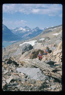
Image depicts a pair of hikers and a view of Mt. Robson Provincial Park.
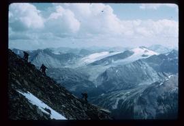
Image depicts a view of Mt. Robson Provincial Park, with a group of hikers hiking up a mountain side in the foreground.
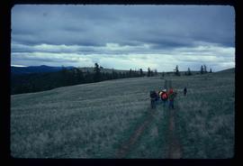
Image depicts a group of people hiking, possibly somewhere near Riske Creek, B.C.
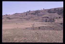
Image depicts a view of the scenery at an uncertain location with numerous individuals, possibly tourists, present. It is possibly somewhere near the Fraser River.
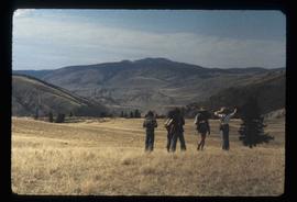
Image depicts a view of the landscape at an unknown location with a group of people, possibly tourists, present. It is possibly near the Fraser River.
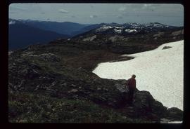
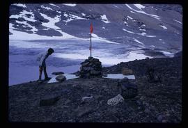
Image depicts an unknown individual and some snow located somewhere along the Murray Ridge.
File consists of reproduced copy of "To the Memory of Alexander Mackenzie's Granddaughter and last Descendant Mrs. Heald (Alexandra Isabel Mackenzie)" originally published in 1933.
File consists of maps depicting the Salmon River Portage area.
File consists of notes and a reproduced map relating to Carrier Lake in the Omineca region, 35 km east from Fort St. James.
File consists of notes, clippings, and reproductions relating to McLeod Lake. Includes a "History of McLeod Lake, BC" typescript document by Kelly Rogers (1982). File also includes photographs depicting McLeod Lake (1999-2000).
File consists of a first draft of Masters thesis entitled "The Grand Trunk Pacific in Prince George: A Study in Mismanagement, 1909-1918" by Rhys Pugh. Also includes printed emails and notes regarding the thesis.
File consists of notes and reproductions relating to bibliographic references about Fort Alexandria (later renamed Alexandria). Fort Alexandria was a trading post, ferry site, and steamboat landing in the North Cariboo, 45 km south of Quesnel.
File consists of a note and reproduction relating to Mackenzie, BC.
File consists of notes and reproductions relating to the Duke of Sutherland. Also includes photographs depicting the area of White's Landing in Strathnaver (2010).
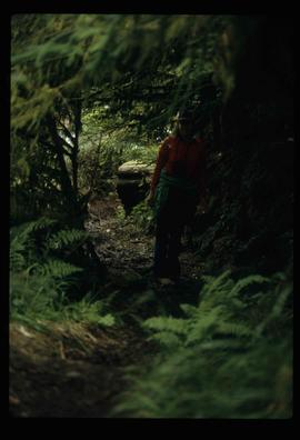
Image depicts an individual standing on a trail in the coastal forest on Haida Gwaii, B.C.
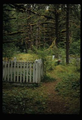
Image depicts an individual crouching in an old cemetery located somewhere in the coastal forest on Haida Gwaii, B.C.
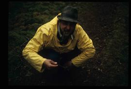
Image depicts Kent Sedgwick crouching and holding a stick; the slug on the end is barely visible. Located somewhere on Haida Gwaii.
File consists of notes, clippings, and reproductions relating to the fur trade in British Columbia by the Hudson's Bay Company. Includes material on the fur trade route in the Peace Canyon, Athabasca Pass, and the Yellowhead Pass, as well as "Fur Trade Routes through the Canadian Cordillera" typed notes by Kent Sedgwick. File primarily consists of Kent Sedgwick's handwritten notes on the fur trade routes.
File consists of notes, clippings, and reproductions relating to the Alexander Mackenzie monument in Prince George. Includes a photograph depicting Judge Howay at the unveiling of the original National Historic Monument to Alexander Mackenzie in Prince George on 13 June 1925 (reproduced 2009).
File consists of notes, clippings, and reproductions relating to the Fort George Canyon. Includes: "City of Prince George" typescript letter from Kent Sedgwick to Mr. Ron Drane, Manager of Pine Centre (7 June 1984) and "Fort George Canyon Hiking Trail" pamphlet published by the Fraser-Fort George Regional Museum (July 1984). Also includes photographs depicting the Fort George Canyon and men hiking the trail (1985).
File consists of notes, clippings, and reproductions relating to Father Adrien Morice. Father Adrien Morice was a missionary and was ordained as a priest who came to British Columbia in 1880 to complete his ecclesiastical studies. After completing his schooling he was signed to the Williams Lake Mission where he worked closely with the Chilcotin peoples, learning their language and ministering. He continued to learn Chinook before moving to work at Stuart Lake with the Na'Kaztl'Tenneh Band in 1885, working with four divisions of the Carrier Tribes, the Alexandria, Quesnel, Blackwater, and Lhuskuz. Morice continued to use the Cree language and eventually published a monthly newspaper between 1881 and 1884 called "Tsettes Nahivelnik" (meaning "storyteller") using the Cree language. File primarily consists of handwritten notes by Kent Sedgwick regarding Father Adrien Morice and his work.
File consists of notes, clippings, and reproductions relating to David Thompson, surveyor, cartographer, and fur trader with the Hudson's Bay Company and North West Company.
Image depicts a marker for aerial photography at an uncertain location. The slide labels it as "Elizabeth Station."
File consists of notes and reproductions relating to land surveyors working in British Columbia. Includes material on Rupert Williams Haggen who became a land surveyor in 1911 and surveyed Prince George, Quesnel, Bowron River, and the Fraser River area below Quesnel; Henry Fry who worked in Victoria between 1871 and 1897; Otto Julius Klotz who surveyed the Alaska-British Columbia boundary and also surveyed for the Canadian Pacific Railway between 1871 to 1927; James Herrick McGregor who worked in the Kootenays and assisted for the survey of the British Columbia Alberta border between 1891 and 1903; and Forin Campbell who came to Prince George in 1908.
File consists of notes, clippings, and reproductions relating to James C. Anderson and engineer J. Gill. James Anderson arrived in Fort George in 1912. Anderson did topographical surveys of the Fort George area for the Grand Trunk Pacific Railway between 1912 and 1913. Engineer J. Gill did a topographical survey of the Indian reserve for the Grand Trunk Pacific in 1912. Includes "Grand Trunk Pacific Maps" typescript document by Kent Sedgwick (3 June 1980).
File consists of notes and reproductions relating to Brett & Hall landscape architecture and urban planning in Canada. File predominantly consists of photocopies of articles relating to urban planning, including "The Influence of Thomas Adams and the British New Towns Movement in the Planning of Canadian Resource Communities" by Oiva Saarinen; "Thomas Adams and the Commission of Conservation" by Alan H. Armstrong; "The Laying Out of Towns" by W.H. Dorsey; "The Relation of the City Engineer to Public Parks" by John C. Olmsted; "The Planning of Company Communities in the Lake Superior Mining Region" by Arnold R. Alanen; and "Planning the Canadian Environment" by L.O. Gertler.
File consists of reproductions and photocopies of articles on the history of city planning in North America. File predominantly consists of printed articles: "Encyclopedia of Urban Planning" by Arnold Whittick; "Radburn and the American Planning Movement: The Persistence of an Idea" by Eugenie Ladner Birch; "The Making of Urban America: A History of City Planning in the United States" by John W. Reps; and "The Story of the Planner's Journal 1915-1980" by Donald A. Krueckberg.
File consists of printed emails and typed documents relating to Brett & Hall and an exhibit for the National Gallery of Canada. Brett & Hall were landscape architects from Boston, MA who designed the original plan for Prince George, including features such as the Crescents neighbourhood.
File consists of notes and reproductions relating to the Hudson's Bay Company subdivision. Includes material on the subdivision, survey, and sale of lands in Fort George owned by the Hudson's Bay Company.
File consists of notes and reproductions relating to soldier land settlement in northern British Columbia following the First World War. Includes material regarding the British Columbia Land Settlement Act; the allotment of land for Prince George; and the opening of reserved lands for veterans. Includes a printed article entitled "Soldiers, Settlement and Development in British Columbia, 1915-1930" by Paul Koroscil (2000).
File consists of notes and reproductions relating to the Yukon Telegraph Trail, which runs through British Columbia from Ashcroft in the south to Atlin in the North. The telegraph line was constructed by the Dominion Government Telegraph Service from 1898 to 1901. The groundwork for this telegraph line was laid by the Collins Overland Telegraph and the Western Union Telegraph (Russian-American Telegraph). File also includes photographs depicting a cabin at Bobtail Lake along the telegraph trail (1977).
File consists of notes, clippings, and reproductions relating to Quesnel, Barkerville, and Wells. Includes: "An Historic Walk of Carson Avenue, Quesnel, B.C". pamphlet prepared by the Quesnel Branch Cariboo Historical Society (1990); "Wells, B.C". pamphlet by the Wells Historical Society (1980); "Cottonwood House Provincial Historic Park" pamphlet by the Province of British Columbia (1980); and vol. 1 of the Cariboo Gazette newspaper (2002). Also includes a map depicting Bowron Lake Park in British Columbia (1968).
File consists of notes and reproductions relating to Fort Alexandria (later renamed Alexandria). Fort Alexandria was an HBC trading post, ferry site, and steamboat landing in the North Cariboo, 45 km south of Quesnel. File contains photographs depicting Fort Chilcotin, the landscape and buildings (Sept. 1983 and Aug. 2006).
File consists of notes and reproductions relating to the Canadian Pacific Railway, colonization and immigration, and the 4th Duke of Sutherland.
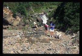
Image depicts three individuals and three dogs standing by a stream at an uncertain location, possibly somewhere in Bear Glacier Provincial Park. The woman in purple is possibly Sue Sedgwick.
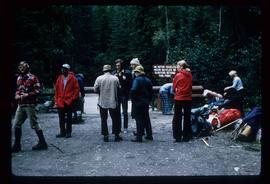
Image depicts a large group of individuals preparing to hike up Mt. Robson.
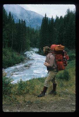
Image depicts a man on the hiking trail near Mt. Robson, with a river in the background; it is possibly the Robson River.
Image depicts a camp and what is likely Mt. Robson in the background.
