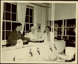
Item is a photograph of Mr. Williston washing dishes with Mrs. Evelyn Yost, Dormitory Matron, and Mrs. Houghtaling, Chief Cook, in the kitchen of the renovated army barracks which became the Prince George School’s first dormitory. The dormitory was the first of its kind in B.C.
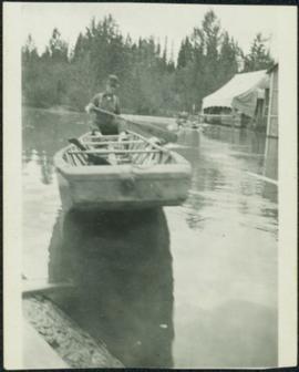
Cane floats in flooded area of camp, tent buildings and forest trees in background. It is believed that this photograph may depict the Island Cache in flood, at Prince George, BC.
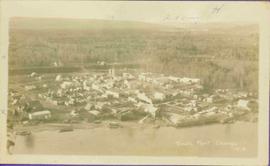
Lofty view of South Fort George, river and treed hills in the background. Printed annotation on verso reads: “South Fort George - 1913.” Handwritten message on recto is addressed to “Ethel M. Heurris Norton Maps Bristol County" reads: "11-1-13 an excellent view of south Fort George taken recently. Power Station at cross near water. This does not give all the south residence view. Population approx 1500”.
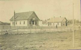
Photo of buildings behind street, fenced on either side. Man and horse can be seen on street. Printed annotation on verso reads: “The Government buildings Fort George B. C.” Handwritten annotation on recto reads: “This is the place I receive my patent from next June.”
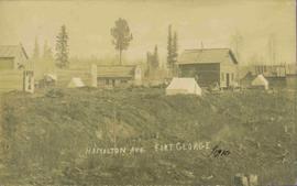
View of 5 buildings and 4 tents on land that has been cleared to stumps. Printed annotation on verso reads: “HAMILTON AVE. FORT GEORGE”, added handwritten annotation in ink reads: “1910”.
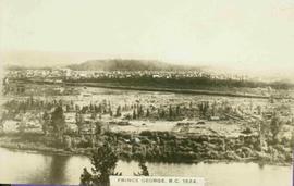
River in foreground, railroad and city in mid ground and hill in background. Printed annotation on recto reads: “Prince George. B.C. 1924”
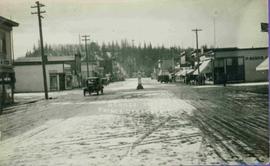
Photograph depicts buildings and vehicles lining street, and hill in background. There is snow on the road and several store signs are visible. Printed annotation on recto reads: “GEORGE ST. PRINCE GEORGE B.C.”
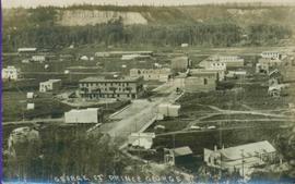
Printed annotation on recto reads: “George St. Prince George B.C.”, handwritten in pencil on verso reads: “CA. 1915”
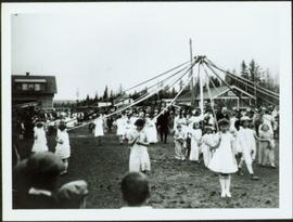
Crowd gathered around young girls holding ribbons anchored to top of pole in centre of image. Buildings stand in background.
Annotation on verso: “Maypole Dance 1927, Prince George."
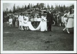
Photograph depicts young girls dressed in white, walking in front of crowd. One girl holding bouquet wears a long train carried by smaller girls, and is escorted by older man wearing suit. Buildings and decorations can be seen in background.
Handwritten annotation on verso: “The May Queen, Maude Renwich attendants and Mayor Patterson".
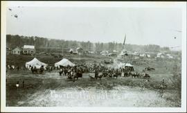
Photograph depicts crowd, horses, tents and flag pole in foreground with buildings and trees in background.
Annotation on verso: “Fourth Fall Fair Prince George, Sept 1915".
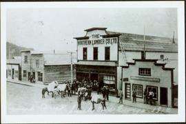
Photograph depicts crowd and horses gathered in front of street building with the sign "The Northern Lumber Co Ltd."
Handwritten annotation on verso “Second St., South Fort George, 1912".
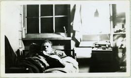
Handwritten annotation on recto of photo reads: "Harry Monson Edmonton Prince George." Harry reclines on bed under window, surrounded by personal effects. Photograph was taken after nightfall. Handwritten caption beside this photo reads: "Harry talked my dad into selling him my boat".
File consists of a transcript of an oral history interview with Doug Homme. Also includes photocopies of Doug Homme's personal records, such as photographs.
File consists of a transcript of an oral history interview with Jim and Dianne Humphreys.
File consists of a transcript of an oral history interview with Andre Laquerre.
File consists of a transcript of an oral history interview with Joe Rositano.
File consists of a transcript of an oral history interview with Alice Sanregret.
File consists of a transcript of an oral history interview with Carl Strom.
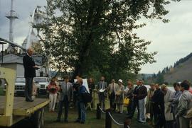
Image depicts a group of people in Cottonwood Park with an individual, possibly former mayor Elmer Mercier, making an announcement.
File consists of a transcript of an oral history interview with Ivan Andersen.
File consists of a transcript of an oral history interview with Jeanne Anderson.
File consists of a transcript of an oral history interview with Ruth Cunningham, Lillian Coulling, and Evelyn Rebman. Also includes photocopies of Ruth Cunningham's personal records, such as photographs and newspaper clippings.
Item is a hand drawn and coloured map by the City of Prince George Planning Department depicting Hart Highway neighbourhood area existing land use in 1976.
Zonder titelItem is a hand drawn and coloured map by the City of Prince George Planning Department depicting the Blackburn neighbourhood development area's proposed sector plan in 1976.
Item is a hand drawn and coloured map by the City of Prince George Planning Department depicting the VLA neighbourhood proposed zoning in 1976.
Item is a hand drawn and coloured map by the City of Prince George Planning Department depicting public representations at the VLA neighbourhood zoning hearing that occurred on April 12, 1976.
Item is a hand drawn and coloured map by the City of Prince George Planning Department depicting zoning proposed by Prince George Alderman A. Stauble for the VLA neighbourhood.
Item is a hand drawn and coloured map by the City of Prince George Planning Department depicting existing land use for the Van Bow neighbourhood area.
Item is a hand drawn and coloured map by the City of Prince George Planning Department depicting existing zoning for the Van Bow neighbourhood area. Also includes two hand-drawn mylar overlays for the map; one showing "Opportunities & Constraints" such as housing age and condition and the other showing "Subdivision Activity" over decades of development in the Van Bow area.
Item is a map annotated in colour by the City of Prince George Planning Department depicting major residential development proposals from June 1975 to August 1977 in the City of Prince George. This map was drawn for the City of Prince George interim Community Plan.
Item is a map depicting proposed land use between 1978 and 2012 in the City of Prince George. This map was drawn for the City of Prince George Community Plan; this particular version of the map was displayed in City of Prince George council chambers through 1979.
Item is a map depicting the areas of spring and fall shadow in the Peden Hill neighbourhood in Prince George.
Item is a map depicting land use in the Vancouver Carney study neighbourhood area in Prince George. Also includes two mylar overlays that show the outlines of "unit 2" and "unit 3" development areas.
Item is Map 3 of a group of five maps relating to a City of Prince George Study of Construction Aggregates by the firm Willis, Cunliffe, Tair & Company Limited. Map 3 shows geology of the Prince George area and known sources of construction aggregates.
This map is part of Schedule B of the 1993 Official Community Plan, Bylaw No. 5909 for the City of Prince George. This particular map depicts the northeast area of the City of Prince George, including the industrial areas on Prince George Pulpmill Road and Northwood Pulpmill Road along the Fraser River.
This street map of the VLA area in Prince George includes property outlines and street numbers.
This map is the October 2006 amendment (Bylaw 7807) of the Schedule C of the 2001 Official Community Plan, Bylaw No. 7281 for the City of Prince George. This Schedule C map shows the long range land use for the City of Prince George.
File consists of photocopied maps of Island Cache (Cottonwood Island) and Prince George.
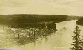
Lofty view of Fort George, B.C., river and paddle wheeler on right. Treed hills can be seen in background. Printed annotation on verso reads: “Fort George B. C.”
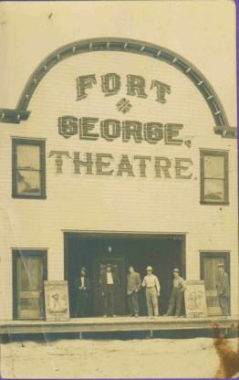
Six men stand on boardwalk in front of theatre.
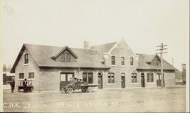
Street view photograph of a large brick with a vehicle parked in front. Printed annotation on recto reads: "C.N.R. Station Prince George, B.C."
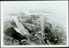
Aerial view of Prince George featuring roadways and the confluence of the Fraser and Nechako rivers.
Annotation on verso: “Prince George from air 1936”.
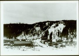
Winter scene with buildings, street, and utility poles. Hill in background.
Handwritten annotation on verso: “South Ft. George 1912”.
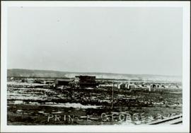
Winter landscape taken from behind railroad track. Cleared land in foreground, buildings in midground, low hills in background.
Handwritten annotation on recto: “PRINCE GEORGE 3-15-14”.
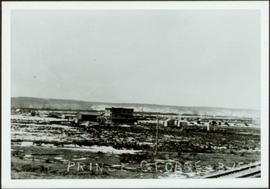
Winter landscape taken from behind railroad track. Cleared land in foreground, buildings in midground, low hills in background.
Handwritten annotation on recto: “PRINCE GEORGE 3-15-14”.
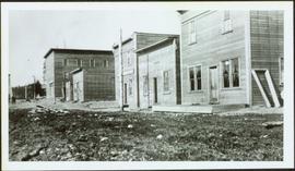
Row of buildings with path and poles. Rough cleared land in foreground, men visible in far left background.
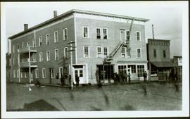
Photograph depicts street corner view of Hotel Fort George with people and utility pole in foreground.
Handwritten annotation on verso “Hotel Fort George Central Fort George 1913".
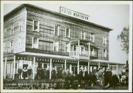
Photograph depicts large crowd gathered in front of three story building.
Printed annotation on recto of photograph: "CARIBOO STAGE AT SOUTH FT. GEORGE B.C. OCT 19 -1911".
Long building in background.
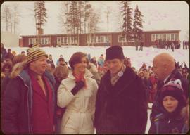
Handwritten annotation on verso reads: “with Pierre T + Rob B at P. George, winter 78”.


![Proposed Land Use 1978-2012, Official Community Plan, City of Prince George [1979 Amendment]](/uploads/r/northern-bc-archives-special-collections-1/c/e/d/ced2c18ae074ee79ace57d0454f038b5e09774ff682567e053093476af37c166/2023.5.1.14_-_1979_-_1978-2012_Official_Community_Plan_City_of_Prince_George_JPG85_tb_142.jpg)

![Vancouver Carney Study [Existing Land Use]](/uploads/r/northern-bc-archives-special-collections-1/d/8/4/d841cd29016ddb96663d51e137bd7a3b7c4dfe3ec645baca199615e3e4464da3/2023.5.1.21a_-_Vancouver_and_Carney_Study_Area_Existing_Land_Use_JPG85_tb_142.jpg)


![City of Prince George - Schedule C of the Official Community Plan - Long Range Land Use Map [October 2006 Amendment]](/uploads/r/northern-bc-archives-special-collections-1/6/d/6/6d643c10801eba2ac493689972e57429dba42ec7592f54cb55151b96362d7048/2023.5.1.40_-_2006_Oct_-_City_of_Prince_George_Long_Range_Land_Use_Map_JGP85_tb_142.jpg)
