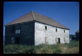
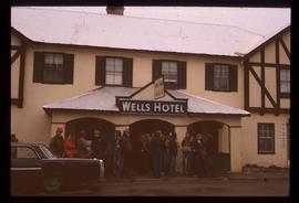
Affichage de 112 résultats

Archival description
Wells Hotel
2012.13.1.37.46 · Pièce · [197-?]
Fait partie de J. Kent Sedgwick fonds

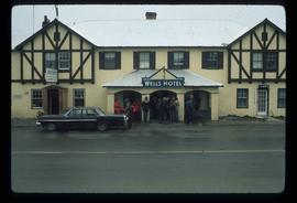
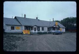
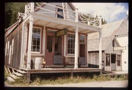
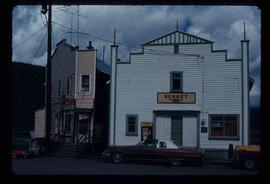
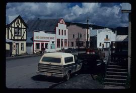
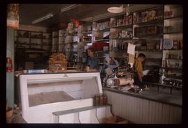
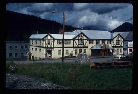
Image depicts a crowd of people outside the Wells Hotel in Wells, B.C.

Mackenzie Centre
2012.13.1.70.05 · Pièce · May 1973
Fait partie de J. Kent Sedgwick fonds

Image depicts numerous vehicles parked outside a building with a sign which reads "Mackenzie Centre;" it is possibly the mall in Mackenzie, B.C.

Buildings in Upper Fraser, BC
2012.13.1.87.067 · Pièce · [between 1975 and 1995]
Fait partie de J. Kent Sedgwick fonds

Image depicts a row of buildings in Upper Fraser, B.C. with the store (titled "Paradise") with a Pepsi sign. Map coordinates 54°07'09.1"N 121°56'47.0"W

Willow River Street - Esso Station
2012.13.1.87.104 · Pièce · [between 1975 and 1995]
Fait partie de J. Kent Sedgwick fonds

Image depicts a snowy street in Willow River, B.C. There are several buildings, one is an Esso station and another is labelled as "Red & White Food Store."

Uncle Ben's Beer Advertisement
2012.13.1.87.148 · Pièce · [between 1975 and 1995]
Fait partie de J. Kent Sedgwick fonds

Image depicts an advertisement for an "Uncle Ben's Beer Malt Liquor" in the Willow River General Store. Map coordinates 54°04'23.7"N 122°28'26.9"W

Upper Fraser General Store
2012.13.1.87.043 · Pièce · [between 1975 and 1995]
Fait partie de J. Kent Sedgwick fonds

Image depicts the Upper Fraser General Store in Upper Fraser, B.C. Two other signs indicate that it is also a post office and a place that offers propane refills. Map coordinates 54°07'10.8"N 121°56'51.7"W

Prince George
2012.13.1.3.042 · Pièce · Nov. 1977
Fait partie de J. Kent Sedgwick fonds

Image depicts downtown Prince George looking northwest across Dominion Street. Map coordinates 53°54'48.7"N 122°44'45.6"W

A Street in Wells
2012.13.1.37.16 · Pièce · 1978
Fait partie de J. Kent Sedgwick fonds

Image depicts a street in Wells, B.C. The Sunset Theatre and Gold Country Food Market are both present in the image.

Central Business District
2012.13.1.3.057 · Pièce · July 1979
Fait partie de J. Kent Sedgwick fonds

Image depicts the Central Business District of Prince George looking north from Connaught Hill. Map coordinates 53°54'41.4"N 122°44'58.5"W

Kitimat - Businesses
2012.13.1.67.08 · Pièce · 1979
Fait partie de J. Kent Sedgwick fonds

Image depicts numerous businesses, such as the Bay, Overwaitea, and Dairy Queen, somewhere in Kitimat, B.C.

Main Street
2012.13.1.83.20 · Pièce · 1979
Fait partie de J. Kent Sedgwick fonds

Image depicts several buildings along the main street in Stewart, B.C.