Mostrar 487 resultados

Archival description
434 resultados com objetos digitais Mostrar resultados com objetos digitais
Chander Suri fonds
1996.8 · Fundo · 1954-2009

This fonds encompasses the planning career of Chander Suri. The head planner for the Regional District of Fraser-Fort George from 1969 to 1977, Chander Suri embarked on numerous community plan projects in the Prince George area. Suri also worked as an independent planning consultant for local businesses and organizations. Chander Suri's records encompass numerous urban and rural projects facilitating population and industry growth within the RDFFG that spanned beyond Suri's career.

Textual records comprise official and draft planning documents, development reports, planning proposals, contracts, published regulations, socio-economic studies of regions near Prince George, financial and other studies for development sites, illustrated promotional packages/proposals for developments, regional/provincial guides and standards, and correspondence relating to Suri's professional consulting activities. The fonds contains a wide array of maps, architectural plans, and technical drawings ranging from municipal planning layouts, industrial land developments, and private property (commercial and residential) development projects, mainly from in and around Prince George.

These records are relevant to researchers of the subjects of land use, land development and land planning issues in the Prince George and Fraser-Fort George Regional District in the second half of the 20th century.

Series include:

  1. Maps and Plans relating to development projects in British Columbia, predominantly in the Prince George area
  2. Lower Mainland Planning material from Suri's early career period
  3. Regional District of Fraser Fort George Planning records and resource material collected by Suri during his employment at the RDFFG
  4. Planning Consultancy records relating to Suri’s independent planning consultancy work in his later career period
Sem título
Trelle Morrow Collection
2007.47 · Coleção · [2007]

Includes an audiocassette and a CD copy of an interview conducted by Kent Sedgwick with Trelle Morrow on the history of architectural design in Prince George.

Sem título
Schools
2012.13.1.040 · Subsérie · [between 1979 and 2004]
Parte de J. Kent Sedgwick fonds

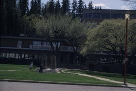
File contains slides depicting schools in Prince George, B.C.

2009.6.1.592 · Item · 17 August 2004
Parte de The Honourable Iona Campagnolo fonds

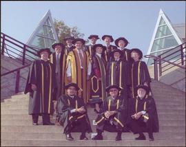
Photograph taken in front of the 'icebergs' at the University of Northern British Columbia in Prince George, B.C. Campagnolo stands in middle row, third from right.

Card accompanying photograph reads: “UNBC’s 10th Anniversary, 08/17/04, With the compliments of Charles J. Jago, President and Vice-Chancellor”.

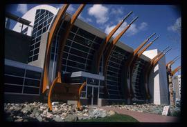
Studio 2880 Arts Complex
2012.13.1.3.170 · Item · Apr. 2003
Parte de J. Kent Sedgwick fonds

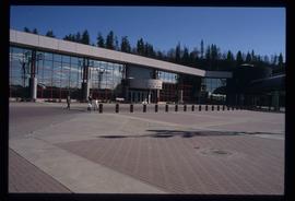
Image depicts Studio 2880 Arts Complex in Prince George, B.C. Map coordinates 53°54'36.9"N 122°46'30.3"W

Spruceland
2012.13.1.5.24 · Item · Mar. 2003
Parte de J. Kent Sedgwick fonds

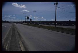
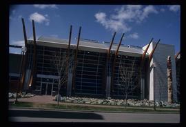
Image depicts a Lakewood view of Spruceland in Prince George, B.C.
College Heights
2012.13.1.5.25 · Item · Mar. 2003
Parte de J. Kent Sedgwick fonds

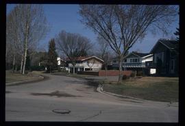
Image depicts College Heights, particularly along Gladstone Drive, in Prince George, B.C.

Trailer Park
2012.13.1.5.27 · Item · Mar. 2003
Parte de J. Kent Sedgwick fonds

Image depicts a trailer park by either the Fraser or Nechako River in Prince George, B.C.

Exhibition Sports Centre
2012.13.1.7.234 · Item · Mar. 2003
Parte de J. Kent Sedgwick fonds

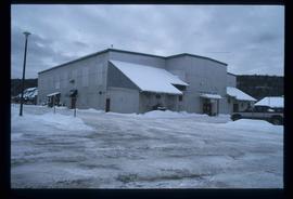
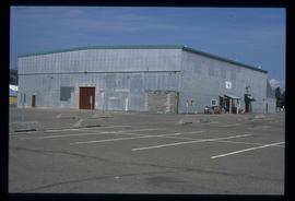
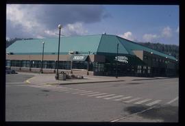
Image depicts the Exhibition Sports Centre, which used to be a drill hall army base, on Keller Street in Prince George, B.C.

Storage Sheds
2012.13.1.7.235 · Item · Mar. 2003
Parte de J. Kent Sedgwick fonds

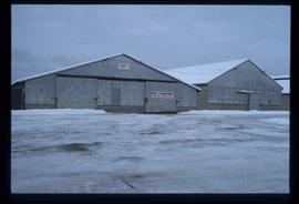
Image depicts a few storage sheds somewhere in Prince George, B.C.

Businesses
2012.13.1.7.250 · Item · [2003?]
Parte de J. Kent Sedgwick fonds

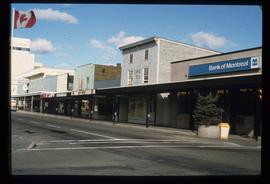
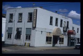
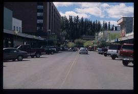
Image depicts a street of businesses, possibly 3rd Avenue, in Prince George, B.C.

Prince George
2012.13.1.3.169 · Item · Mar. 2003
Parte de J. Kent Sedgwick fonds

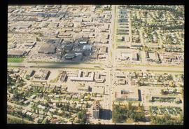
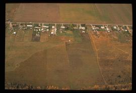
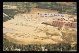
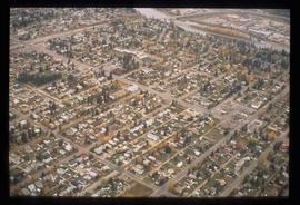
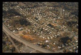
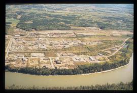
Image depicts an aerial view of what is possibly an outlying area of Prince George, B.C.

Downtown P.G.
2012.13.1.5.28 · Item · Mar. 2003
Parte de J. Kent Sedgwick fonds

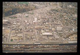
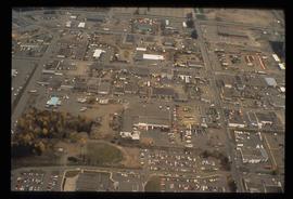
Image depicts an aerial view of downtown Prince George, B.C.

British Columbia Rail
2012.13.1.5.30 · Item · Mar. 2003
Parte de J. Kent Sedgwick fonds

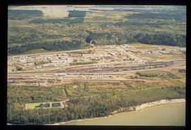
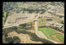
Image depicts an aerial view of the BC Rail, in Prince George, B.C. It is now known as CN Rail.

Exhibition Sports Centre
2012.13.1.7.244 · Item · Mar. 2003
Parte de J. Kent Sedgwick fonds

Image depicts the Exhibition Sports Centre, which used to be a drill hall army base, on Keller Street in Prince George, B.C.

Prince George Residential Area
2012.13.1.3.168 · Item · Mar. 2003
Parte de J. Kent Sedgwick fonds

Image depicts an aerial view of a Prince George residential section between Highway 97, Carney Street and 10th Ave looking north. Map coordinates 53°54'54.0"N 122°46'00.4"W

Studio 2880 Arts Complex
2012.13.1.7.245 · Item · Mar. 2003
Parte de J. Kent Sedgwick fonds

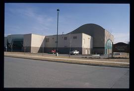
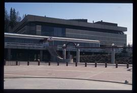
Image depicts a building which is a part of the Studio 2880 Arts Complex on 15th Avenue in Prince George, B.C.

A House
2012.13.1.7.249 · Item · [2003?]
Parte de J. Kent Sedgwick fonds

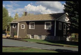
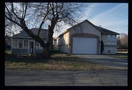
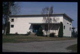
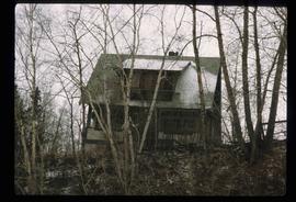
Image depicts a house somewhere in Prince George, B.C.

La Tienda Hair and Nails
2012.13.1.7.217 · Item · May 2001
Parte de J. Kent Sedgwick fonds

Image depicts the La Tienda Hair and Nail Salon on an uncertain street somewhere in Prince George, B.C.

CN Building
2012.13.1.7.218 · Item · May 2001
Parte de J. Kent Sedgwick fonds

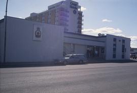
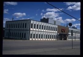
Image depicts the CN Building in Prince George, B.C.

George Street
2012.13.1.7.220 · Item · May 2001
Parte de J. Kent Sedgwick fonds

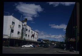
Image depicts a view of George Street with the Prince George City Hall at the corner of George Street and 7th Avenue.

Highway 97
2012.13.1.7.224 · Item · May 2001
Parte de J. Kent Sedgwick fonds

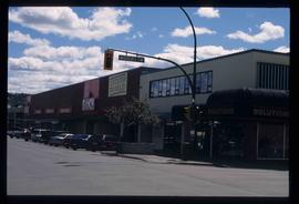
Image depicts a view along Highway 97 in Prince George, B.C.

City Hall
2012.13.1.7.226 · Item · May 2001
Parte de J. Kent Sedgwick fonds

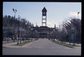
Image depicts City Hall in Prince George, B.C.

Fifth Avenue Intersection
2012.13.1.3.162 · Item · May 2001
Parte de J. Kent Sedgwick fonds

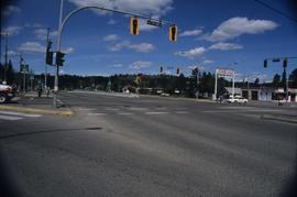
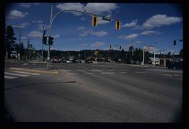
Image depicts the intersection of 5th Ave and Highway 97 looking northeast. Map coordinates 53°55'14.0"N 122°46'54.8"W

Fifth Avenue Intersection
2012.13.1.3.163 · Item · May 2001
Parte de J. Kent Sedgwick fonds

Image depicts the intersection of 5th Ave and Highway 97 looking northeast. Map coordinates 53°55'14.0"N 122°46'54.8"W

City Hall
2012.13.1.3.165 · Item · May 2001
Parte de J. Kent Sedgwick fonds

Image depicts Prince George City Hall. Map coordinates 53°54'46.3"N 122°44'41.9"W