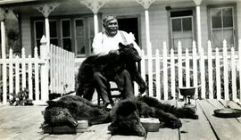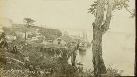
2009.7.1.026
·
Item
·
[ca. 1930 - ca. 1950]
Parte de Archdeacon W. H. Collison fonds
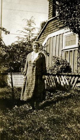
Bertha Collison stands on lawn in front of house (wife of Rev. W.E. Collison).
Handwritten annotation on verso reads: "Mother / Prince Rupert".