Affichage de 123 résultats

Archival description
123 résultats avec objets numériques Afficher les résultats avec des objets numériques
G. Gary Runka fonds
2020.4 · Fonds · 1945-2013

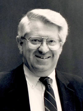
This fonds illustrates the life and work of G. Gary Runka and his contributions to the province of British Columbia. Gary Runka was the first General Manager of British Columbia's Agricultural Land Commission and helped establish the provincial Agricultural Land Reserve. After transitioning from a government career to private consulting, Runka provided comprehensive professional services through his land consultancy business, G.G. Runka Land Sense Ltd., offering land capability and environmental assessments, integrated resource management, land and water use conflict resolution, and interdisciplinary land use planning. Described by colleagues as one of BC's most highly respected agrologists and influential land use planners, Runka had a 52-year career working on (or against) an incredible number of landmark projects in British Columbia, such as the Site C Project. Gary Runka’s partner in life and vocation, Joan M. Sawicki, worked with Gary on many of these projects—as well as her own; her contributions are also represented throughout the records of this fonds.

Gary Runka's deep connection to the land is evident from his earliest papers on aerial photo interpretation, his work with the Canada Land Inventory, through his speeches and his work establishing the BC Agricultural Land Reserve and in his subsequent consulting career through G.G. Runka Land Sense Ltd. Gary Runka's influence and legacy was recognized in the tributes paid after his death, including the post-humus award as the Real Estate Foundation's "Land Champion" for 2014.

The G. Gary Runka fonds has been divided into the following nine series:
1) Personal Records
2) Speeches & Publications
3) Professional Records
4) Agricultural Land Commission
5) Land Sense Ltd.
6) Client Files
7) Maps
8) Photographs
9) Digital Records
Sans titre
Farm
2012.13.1.20.23 · Pièce · [2002 or 2003]
Fait partie de J. Kent Sedgwick fonds
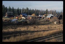
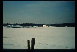
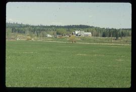
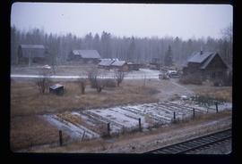
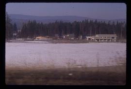
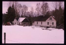
Image depicts a farm likely in Woodpecker, B.C.
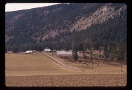
Farm
2012.13.1.20.24 · Pièce · [2002 or 2003]
Fait partie de J. Kent Sedgwick fonds

Image depicts a farm likely in Woodpecker, B.C.

A Cow
2012.13.1.89.168 · Pièce · 1999
Fait partie de J. Kent Sedgwick fonds

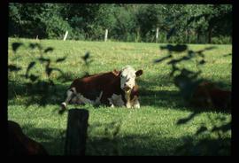
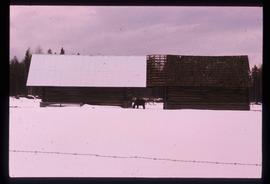
Image depicts a cow at an uncertain location.

Farm Landscape
2008.3.1.22.43 · Pièce · [ca. 1995]
Fait partie de Bridget Moran fonds

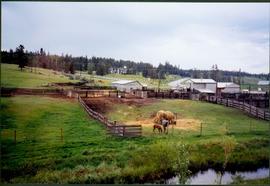
Photograph depicts two horses in one of many fenced areas, buildings and machinery in background. Highway, house, and forest also visible in distance.

Giscome Dairy Farm
2012.13.1.87.141 · Pièce · [between 1975 and 1995]
Fait partie de J. Kent Sedgwick fonds

Image depicts the dairy farm in Giscome, B.C. Map coordinates 54°03'53.3"N 122°21'22.6"W

Giscome Dairy Farm
2012.13.1.87.152 · Pièce · [between 1975 and 1995]
Fait partie de J. Kent Sedgwick fonds

Image depicts the dairy farm in Giscome, B.C. Map coordinates 54°03'53.3"N 122°21'22.6"W

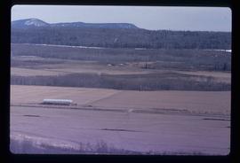
Experimental Farm
2012.13.1.3.129 · Pièce · 13 Aug. 1989
Fait partie de J. Kent Sedgwick fonds

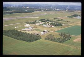
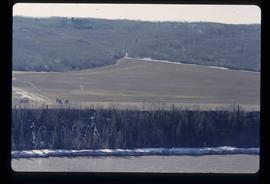
Image depicts a view of an experimental farm, possibly taken from Tabor Mountain.

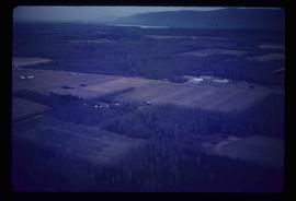
Small Farm
2012.13.1.63.16 · Pièce · Aug 1989
Fait partie de J. Kent Sedgwick fonds

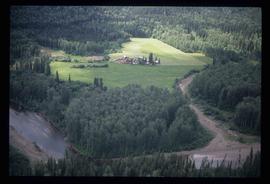
Image depicts an aerial view of what appears to be a small farm, possibly in the McGregor Canyon.

Farmer's Market Street
2012.13.1.66.15 · Pièce · June 1987
Fait partie de J. Kent Sedgwick fonds

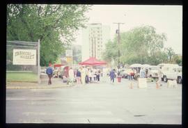
Image depicts a street, possibly in Kamloops, which has been closed for a Sunday morning Farmer's Market.

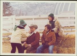
2009.6.1.397 · Pièce · 1981
Fait partie de The Honourable Iona Campagnolo fonds

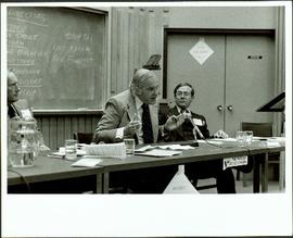
Signature at bottom right corner reads: “Love you always! Merv”; handwritten annotation on verso reads: “Hon. P.A. ‘Flying Phil’ Gaglardi on his Ranch near Kamloops. CBC Show 1981, One of a Kind, Picture from Producer Friend Merv Compone”.

Seton Portage - Irrigation?
2012.13.1.82.32 · Pièce · 1981
Fait partie de J. Kent Sedgwick fonds

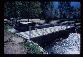
Image depicts a type of gate system for the river water, possibly controlling irrigation, located somewhere in Seton Portage, B.C.

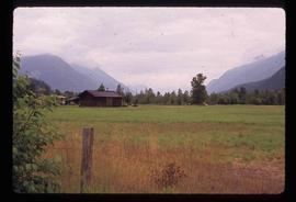
Farm
2012.13.1.72.18 · Pièce · July 1981
Fait partie de J. Kent Sedgwick fonds

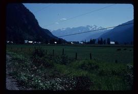
Image depicts a farm at an uncertain location; possibly somewhere in the McGregor Valley.

Orchard Irrigation - Danger Keep Out
2012.13.1.82.28 · Pièce · 1981
Fait partie de J. Kent Sedgwick fonds

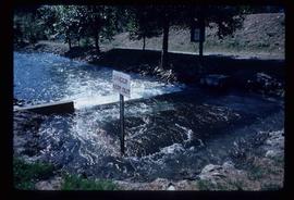
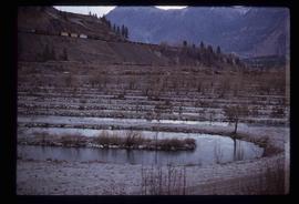
Image depicts water flowing through an irrigation channel in an orchard, somewhere in or near Seton Portage, B.C. There is a sign which reads: "Danger Keep out."

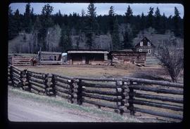
Farm
2012.13.1.54.66 · Pièce · 1981
Fait partie de J. Kent Sedgwick fonds

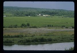
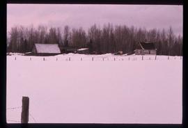
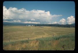
Image depicts a farm at an uncertain location.

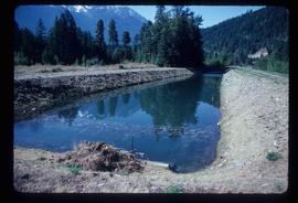
Orchard Irrigation
2012.13.1.82.27 · Pièce · 1981
Fait partie de J. Kent Sedgwick fonds

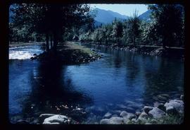
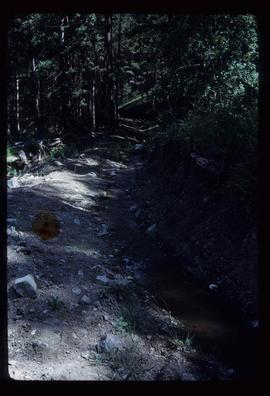
Image depicts water flowing through an irrigation channel in an orchard, somewhere in or near Seton Portage, B.C.

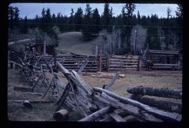
Farm
2012.13.1.50.110 · Pièce · 1980
Fait partie de J. Kent Sedgwick fonds

Image depicts a farm at an uncertain location.

Mary John Standing in Field
2008.3.1.15.3 · Pièce · [ca. 1980]
Fait partie de Bridget Moran fonds

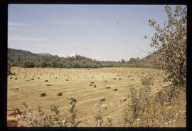
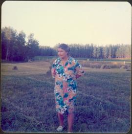
Photograph depicts Mary John wearing flower print dress in cut field. Hay bales, trees, and fence in background.

Giscome Dairy Farm
2012.13.1.89.080 · Pièce · [1980?]
Fait partie de J. Kent Sedgwick fonds

Image depicts the dairy farm in Giscome, B.C. Map coordinates 54°03'53.3"N 122°21'22.6"W

Farm
2012.13.1.20.09 · Pièce · 1980
Fait partie de J. Kent Sedgwick fonds

Image depicts a farm likely in Woodpecker, B.C.

Farm?
2012.13.1.50.111 · Pièce · 1980
Fait partie de J. Kent Sedgwick fonds

Image depicts what appears to be a farm at an uncertain location.

Farm
2012.13.1.54.65 · Pièce · July 1980
Fait partie de J. Kent Sedgwick fonds

Image depicts a farm at an uncertain location.

Farm
2012.13.1.50.058 · Pièce · 1978
Fait partie de J. Kent Sedgwick fonds

Image depicts a farm at an unknown location.

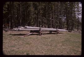
Irrigation Pipes
2012.13.1.50.074 · Pièce · [1978?]
Fait partie de J. Kent Sedgwick fonds

Image depicts a pile of irrigation pipes on a dairy farm somewhere near Quesnel, B.C.

Agriculture
2012.13.1.3.036 · Pièce · Nov. 1977
Fait partie de J. Kent Sedgwick fonds

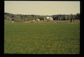
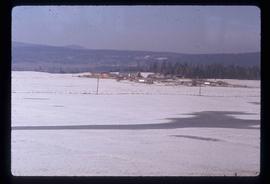
Image depicts an agricultural field, most likely near Prince George, B.C.