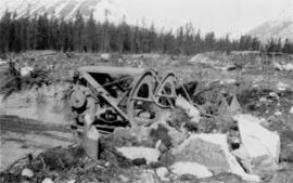
2000.1.1.2.2.02
·
Item
·
1963
Part of Cassiar Asbestos Corporation Ltd. fonds
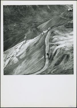
Handwritten photo captions below this item and item 2000.1.1.2.324: "ELEVATION OF SITE: 6000' " "Two views of completed Crusher Bldg." Crane numbered "151" stands above and to right of crusher building. Snowdrift in foreground, mountain range in background.