File consists of notes, clippings, and reproductions relating to forest fires in Prince George and region. Includes: "Significant Fire Years in the Prince George Area - A Media Perspective Taken from the Prince George Citizen Newspaper (1912-1961)" typed document by Brad C. Hawkes (June 1997).
Subseries consists of materials collected by Kent Sedgwick for research on the geography and natural resources in Prince George and its region. Includes material on the natural resource industry, including the opening of the McArthur Sawmill, the W. Lamb and Sons Lumber Sawmill, and mining; photocopied aerial photographs of Prince George; the climate, temperatures, and flooding; and the geographical features of Prince George.
File consists of photographs separated from other boxes and subseries depicting downtown Prince George, historic Prince George, the North Thompson region, Fort St. James historic site, Brooks, Alberta, Sinclair Mills, and Soda Creek.
File consists of a photocopy of "Note on the distribution of some of the more important trees of British Columbia" by George Dawson, circa 1880.
File consists of notes, clippings, and reproductions relating to the central interior rainforest and the Ancient Forest/Chun T'oh Whudujut Provincial Park and Protected Area.
File consists of notes, clippings, and reproductions relating to historical agriculture in Prince George. Includes material on the Prince George Farmer's Institute; experimental plots surrounding Prince George; farming in areas surrounding Prince George including Pineview, Mud River, and Blackburn; ranching; gardening; and the Prince George Experimental Farm. Includes: "Moose in British Columbia, Canada" an educational pamphlet from the Fish and Wildlife Branch of the Department of Recreation and Conservation in British Columbia.
Image depicts the Dunlevy Creek area somewhere near Dawson Creek, B.C. The slide is simply labelled "Dunlevy irrigation" for uncertain reasons.
File consists of notes, clippings, and reproductions relating to rivers in Prince George. Includes: "Proposal for Cottonwood Island as a park reserve" typescript document by the New Caledonia Institute of Environmental Studies [ca. 1980]; "Ministry of Provincial Secretary and Government Services" typescript letter from John McMurdo to Graham Farstad (15 Dec. 1982); "Rip-rap for Goat Island" typescript letter from Kent Sedgwick to Ernie Obst (23 Oct. 1986); "Ted Williams' river tour notes" typescript document by Ted Williams (June 1991); and "RE: Moffat A.L.R Exclusion and Archaeological Site F1Rq 2" typescript letter from Steve Acheson to Daniel Guerrette (11 May 1982).
Image depicts a shed in an unknown location.
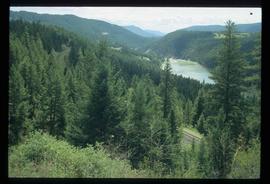
Image depicts rail road tracks through a forest, as well as a river; located in Soda Creek, B.C.
Image depicts the old community hall in Soda Creek, B.C.
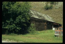
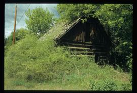
Image depicts an old building located somewhere are the Pickard farm north of Soda Creek, B.C.
File contains slides depicting places along the east line of the BC Railway.
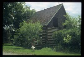
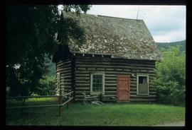
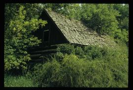
Image depicts an old log cabin at an uncertain location.
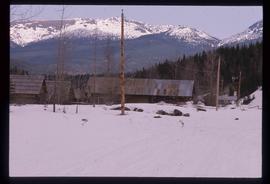
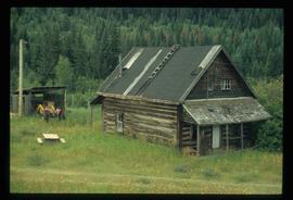
Image depicts several old log cabins, possibly at McLeod Lake.
File consists of notes, clippings, and reproductions relating to dairying and dairy farming in Prince George. Includes material on Harry Moffat; cattle in Mud River; Mr. Hewlett and Centralia Dairy (established in 1923); Interior Creamery, located at the corner of Brunswick and First Avenue; and pasteurization.
File consists of notes, clippings, and reproductions relating to the Monkman Pass area. Includes: "Monkman Pass Memorial Trail" brochure prepared by Tumbler Ridge (2006); "The trail to Monkman Pass" clipped article from BC Outdoors magazine (July 1983); "Regional District of Fraser-Fort George" typescript letter from Y.D. Kennedy to Kent Sedgwick (5 Sept. 1973); and "Alberta Wilderness Association Newsletter" newspaper vol. 13 no. 1 (1983).
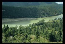
Image depicts a forest and river in Soda Creek, B.C.
Image depicts the old jail house in Soda Creek, B.C.
Image depicts an old building located somewhere are the Pickard farm north of Soda Creek, B.C.
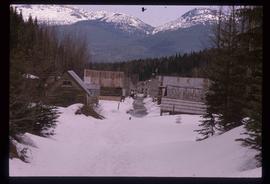
Image depicts two rows of houses in an unknown location.
File contains slides depicting Highway 97 South.
Image depicts the Dunlevy Creek area somewhere near Dawson Creek, B.C. The slide is simply labelled "Dunlevy irrigation" for uncertain reasons.
Image depicts the old jail house in Soda Creek, B.C.
File consists of notes, clippings, and reproductions relating to the South Fort George townsite. Includes "Name change from Glenora Park to Paddlewheel Park" typescript letter from Kent Sedgwick to The Mayor and Council (12 Sept. 1988).
File consists of notes, clippings, and reproductions relating to the Volksport trail in Prince George. The trail starts at the Prince George Railway and Forestry Museum and follows the Heritage River Trail through parks along the Fraser and Nechako Rivers with some residential walking. Includes: "Prince George Railway & Forestry Museum 11 km trail for Volkssporting members" typed document (2004) and "Presentation for Railway and Forestry Museum Directors Meeting" typed document by Audrey L'Heureux (Jan. 2004).
File consists of a typed document titled "Fraser Canyon Park: A proposal to the British Columbia Government" prepared by the Fraser Canyon Ad Hoc Committee.
File consists of reproductions and bibliographic references relating to Monkman Provincial Park.
File consists of notes and reproductions relating to climate in Prince George. Includes: "Annual meteorology summary Prince George, B.C". document from Environment Canada (1989).
File consists of notes, clippings, and reproductions relating to British Columbia historical bibliographies and reference material. Includes: "Rural British Columbia: A Bibliography of Social and Economic Research" typescript document compiled by Dean S. Goard (1967); "Photo chronicler of B.C. a century ago" clipped article from Canadian Photography magazine (Feb. 1977); and "A Guide to British Columbia Stop of Interest Plaques" pamphlet by the Parks Branch of British Columbia (1969).
File contains slides depicting places along the east line of the BC Railway.
File consists of notes, clippings, and reproductions relating to the Grand Canyon of the Fraser River. The Grand Canyon of the Fraser is a short gorge on the upper Fraser River, about 6 kilometres south-southwest of Hutton. The canyon head was about 171 kilometres by river from Fort George, and is about 100 kilometres due east of downtown Prince George.
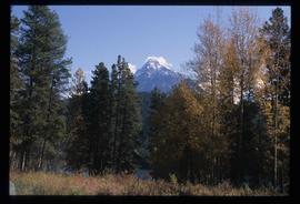
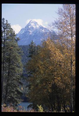
Image depicts Mt. Fitzwilliam.
Image depicts the new Hansard Bridge. Map coordinates 54°04'57.9"N 121°51'10.1"W
Image depicts the new Hansard Bridge. Map coordinates 54°04'57.9"N 121°51'10.1"W
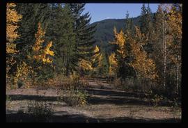
Image depicts an old road through the trees near Yellowhead Pass. The slide labels it as the origin of the Yellowhead highway.
Image depicts Mt. Fitzwilliam.
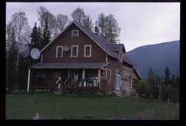
Image depicts a house with torn-up siding. The slide is labelled: "Mellos house relocated from Penny." The location is uncertain.
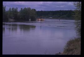
Image depicts what appears to be a ferry crossing a river at an uncertain location.
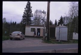
Image depicts two unidentified individuals speaking to each other in the doorway of what appears to be a mobile home. The location is uncertain.
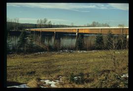
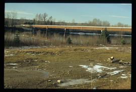
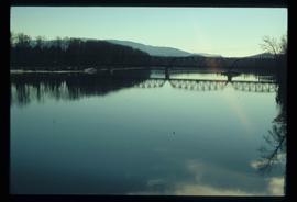
Image depicts the Hansard railroad bridge taken from the new Hansard vehicle bridge. Map coordinates 54°04'58.1"N 121°50'58.0"W
File contains slides depicting the Kootenay Plains and surrounding areas in Alberta.
File contains slides depicting places in and between McBride and the Yellowhead Pass via the Yellowhead Highway.
Image depicts Bellos Road, most likely in Red Rock, B.C.
File contains slides depicting areas around the Discovery Passage.
Image depicts Bellos Road, most likely in Red Rock, B.C.
File contains slides depicting the grade for what was formerly the Pacific Great Eastern, and is now known as British Columbia Railway.
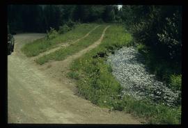
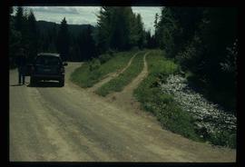
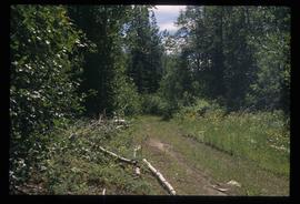
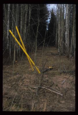
Image depicts a clearing through the woods, possibly an abandoned grade for the BCR. It is possibly located on Iron Road South, near Woodpecker B.C.
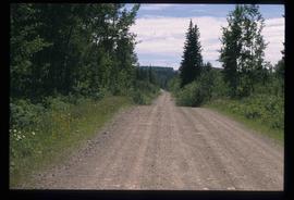
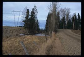
Image depicts Iron Road North, and a creek surrounded by trees. Located north of Woodpecker, B.C.
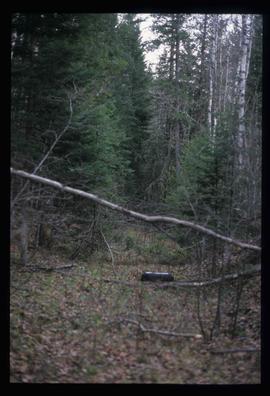
Image depicts a forest, possibly somewhere near Woodpecker, B.C.
