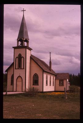
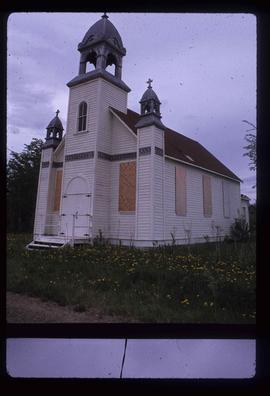
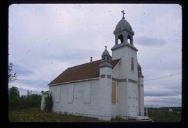
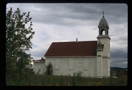
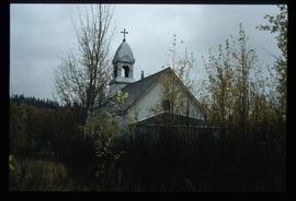
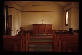
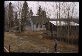
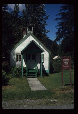
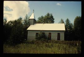
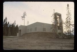
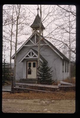
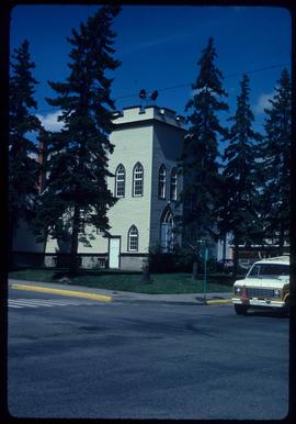
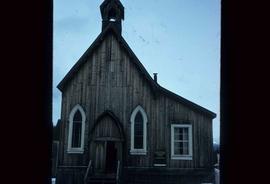
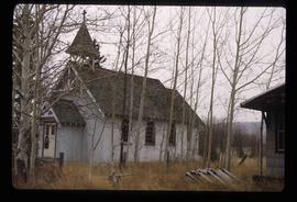
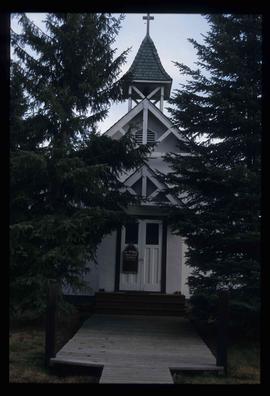
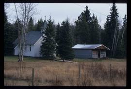
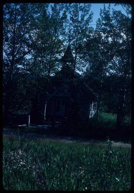
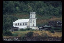
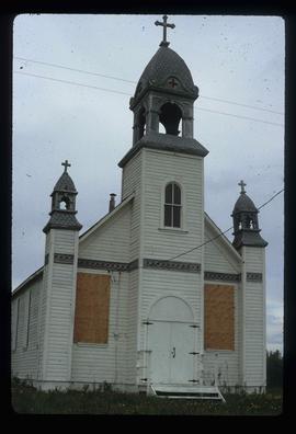
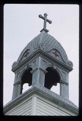
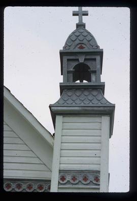
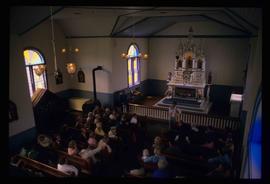
Image depicts an Anglican church in Kitwancool Lake, B.C.
Image depicts a Catholic Church on Stoney Creek Road in Vanderhoof, B.C.
Image depicts a church in Deadman Creek, west of Kamloops, B.C.
Image depicts a boarded up church in Shelley, B.C.
Image depicts the church after its restoration in Shelley, B.C.
Image depicts a church located near Mapes, B.C.
Image depicts a church somewhere in McBride, B.C. The sign in front possibly reads "St. Patrick's Church."
Image depicts a church school in the community of Crescent Spur, B.C.
Image depicts a Catholic church in Giscome, B.C. Map coordinates 54°04'15.5"N 122°21'52.1"W
Image depicts the Oblates of Mary Immaculate Catholic Church in Aleza Lake, B.C. Map coordinates 54°07'08.2"N 122°02'00.0"W
Image depicts a representation of the crucified Christ in the St. Joseph's Roman Catholic Church in Kamloops, B.C.
Image depicts St. Peter's Church in Mackenzie, B.C.
Image depicts a church in Woodpecker, B.C.
Image depicts the interior of a church, most likely St. Mark's Anglican Church in Woodpecker, B.C.
Image depicts the St. Mark's Anglican Church and a small house in Woodpecker, B.C. There is an unknown individual present.
Image depicts a church on a hill somewhere in Seton Portage, B.C.
Image depicts the St. Marks Community Church in Stewart, B.C.
Image depicts a Catholic Church in Stewart, B.C.
Image depicts a Catholic Church in Dome Creek, B.C.
Image depicts an open field and numerous buildings, including a church in Giscome, B.C. Map coordinates 54°04'03.2"N 122°22'04.6"W
Image depicts a church at an uncertain location.
Image depicts the Oblates of Mary Immaculate Catholic Church in Aleza Lake, B.C. Map coordinates 54°07'08.2"N 122°02'00.0"W
Image depicts a Catholic church in Giscome, B.C. Map coordinates 54°04'15.5"N 122°21'52.1"W
Image depicts the Oblates of Mary Immaculate Catholic Church in Aleza Lake, B.C. Map coordinates 54°07'08.2"N 122°02'00.0"W
Image depicts a boarded up church in Shelley, B.C.
Image depicts a section of the boarded up church at Shelley, prior to its restoration.
Image depicts a small section of the boarded up church in Shelley, B.C.
Image depicts a church on a hill in Hagwilget, B.C.
Image depicts a church on a hill in Moricetown, B.C.
Image depicts a large crowd of people seated inside the St. Joseph's Roman Catholic Church in Kamloops, B.C.
Image depicts St. Peter's Church in Mackenzie, B.C.
Image depicts St. Mark's Anglican Church in Woodpecker, B.C.
Image depicts a church in Fort St. James, B.C.
Image depicts a Knox United Church at an uncertain location, though possibly in either Hixon or Woodpecker, B.C.
Image depicts a Catholic church at an unknown location.
Image depicts an old Anglican Church in Barkerville, B.C.
Image depicts the interior of a church, possibly one in or near Barkerville, B.C.
Image depicts St. Mark's Anglican Church in Woodpecker, B.C.
Image depicts the St. Mark's Anglican Church and a small house in Woodpecker, B.C.
Image depicts a church in Woodpecker, B.C.
Image depicts a stained glass window from the interior of an Anglican Church in Woodpecker, B.C.
Image depicts an Anglican church in Old Aiyansh.