2012.13.1.53.01
·
Pièce
·
Aug. 1971
Fait partie de J. Kent Sedgwick fonds
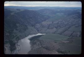
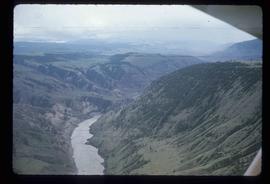
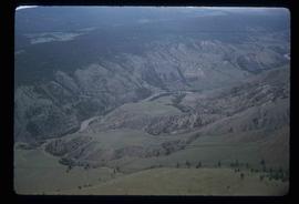
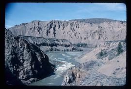
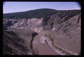
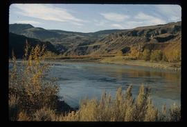
Image depicts the Fraser River in the Lillooet, B.C.