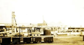
Photograph depicts a pier. Handwritten annotation below the photograph reads, "as above. taken from Howe street"
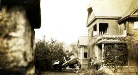
Photograph depicts a wreckage of a small airplane. The wreckage is adjacent to a home. Handwritten annotation reads, "same as above 1926". This photograph may depict the plane crash that occurred in October 1926 in which a Victoria-to-Seattle airmail plane piloted by Gerald Smith crashed into the home of Senator Robert F. Green on 502 Rupert Street in Victoria, BC.
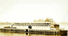
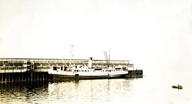
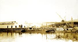
Photograph depicts the Canadian Pacific Railway's Pier B and C in Vancouver. Handwritten annotation reads, "taken from pier D. outer end of BC Pier".
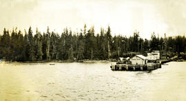
Photograph depicts the Hardy Bay pier. Handwritten annotation below the photograph reads, "Hardy Bay. Vancouver Island".
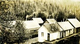
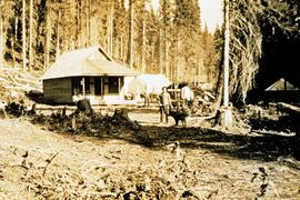
Photograph depicts rows of small bunk houses, smoke rises from some of the chimneys, forest in the background. Handwritten annotation below photograph reads, "Cabins of Crew and Indian Houses".
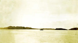
Photograph depicts open water, a boat is in the centre of the photograph, treed shoreline in the distance. Handwritten annotation below photograph reads, "view from front Shusharti Bay, BC".
Postcard depicts Mt. Stephen. Train entering a lower spiral tunnel.
Plan of Port Essington consists of an architectural plan for the townsite of Port Essington compiled from plans in Land Registry and described as Composite Plan 537 (originally deposited October 17th 1893). Depicts Skeena River, Hocsal River, individual lots and streets, the B.C. Fishing and Packing Co. Ltd., a graveyard, and the Anglo British Columbia Packing Co.
Series contains handwritten notes, remeasurement charts, research reports, journals and cross section books, stump data, diagrams, maps, photographs, logging inspection reports, timber sale contracts, and correspondence.
Images within this album consist primarily of the fishing industry, river & landscapes, salmon cannery images (housing, people, workers, boats) on the Nass River and North Pacific Coast, ca.1926-1933. Images also feature indigenous First Nations peoples, totem poles, the parliament buildings in Victoria, B.C., and the C.P.R. Pier in Vancouver, B.C. Each photograph is accompanied by a handwritten description glued below or beside the image.
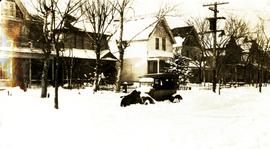
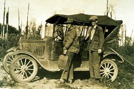
Photograph depicts a 1920's model car on a snowy unploughed street.
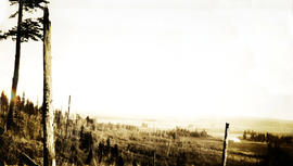
Photograph depicts a forested area with cleared land in the distance. Handwritten annotation below the photograph reads, "Flats - Serpentine"
Photograph depicts a large steamship at CPR Pier B and C in Vancouver. Handwritten annotation below photograph reads, "SS. Tahali - Canadian Australian".
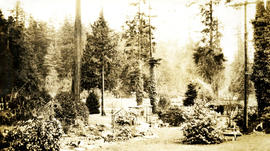
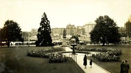
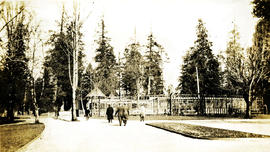
Photograph depicts a garden with large shrubs and tall trees. Handwritten annotation below photograph reads, "Views of Stanley Park"
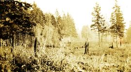
Photograph depicts a roughly cleared area with large trees on the perimeter. Handwritten annotation below photograph reads, "Langley B.C.".
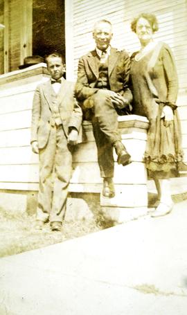
Photograph depicts a man and a woman posing for a photograph near a house. A young boy stands with them. Handwritten annotation below the photograph reads, "Mr. & Mrs. Paynter also Clyde".
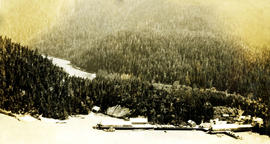
Photograph depicts an aerial view of a large cannery. There is a dense forest and a river in the background. Handwritten annotation below photograph reads, "Naas Harbour Cannery July 1926".
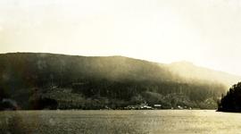
Photograph depicts a cove with treed shorelines. Image is hazy. Handwritten annotation below photograph reads, "Beaver Cove. Pulp and sawmills".
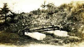
Photograph depicts a rusting piece of a ship, possibly an anchor, displayed on 2 blocks. Handwritten annotation below photograph reads, "thought to have been on the HBS Beaver".
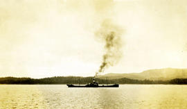
Photograph depicts a ship on open waters. Handwritten annotation below photograph reads, "Oil Tank S.S. Rupert 26/6/28".
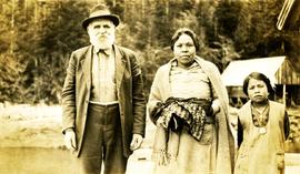
Photograph depicts a man, a woman and a child posing for a photograph. Woman and child appear to be of indigenous descent. Handwritten annotation below photograph reads, "Tom, Louisa & kid".
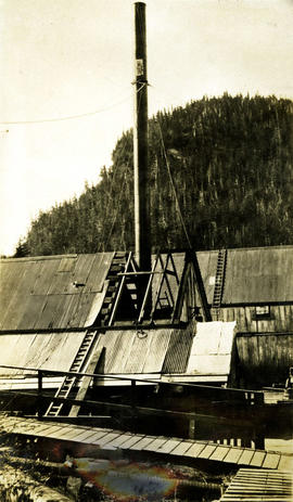
Photograph depicts a chimney in place at Nass Harbour cannery. Handwritten annotation below photograph reads, "up in place, Naas Harbour Cannery.
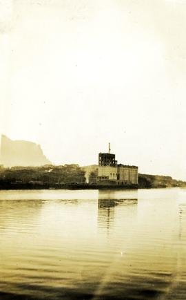
Photograph depicts a grain elevator at Prince Rupert, BC. Handwritten annotation below photograph reads, "elevator at Rupert Oct. 1926".
Photograph depicts a large boat. Handwritten annotation below photograph reads, "Government snag boat Bobolink 1/5/26".
Item is a photograph of a copy print that has been reproduced as a slide, resulting in low photographic quality. Location of original photograph unknown.
Item is a photograph of a copy print that has been reproduced as a slide, resulting in low photographic quality. Location of original photograph unknown.
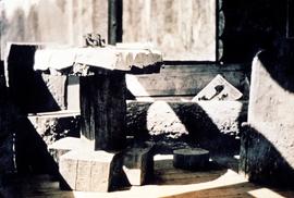
"Another expression of the high morale which prevailed was a joint project which we pursued after hours, on our own time. Out of one huge spruce log we made a set of furniture using an axe and a crosscut saw. We made chairs, a table and a sofa." -- quote from Cedric W. Walker (1907-2003) in "An Early History of the Research Branch, British Columbia Ministry of Forests and Range" (p. 48)
Item is a photograph of a copy print that has been reproduced as a slide, resulting in low photographic quality. Location of original photograph unknown.
Geological topographic map that the Geological Survey produced for the Department of Mines, Canada. Includes two detailed topographic cross sections.
Plan depicts architectural drawings of the Canadian National Railway station in Kamloops. Includes an elevation of the building and floor plans.
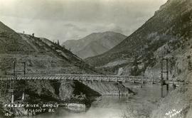
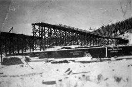
Photograph depicts the Pacific Great Eastern Railway bridge when the railway operated on the east side of the Fraser River. The new grade being cut on the west side toward the site of the railway bridge is visible.
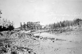
Photograph depicts a building structure in an unknown location.
Photograph depicts a building structure near a train in an unknown location.
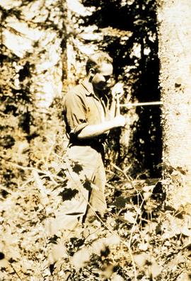
File contains articles and government publications on the results of research projects and policies regarding the Aleza Lake Experiment Station with years ranging from 1945 to 1992. Also included are a photocopied 1926 progress report, a 1967 management manual, and guides pertaining to trails and marking stands for cutting.
Item is a photograph of a copy print that has been reproduced as a slide, resulting in low photographic quality. Location of original photograph unknown.
Item is a photograph of a copy print that has been reproduced as a slide, resulting in low photographic quality. Location of original photograph unknown.
Item is a photograph of a copy print that has been reproduced as a slide, resulting in low photographic quality. Location of original photograph unknown.
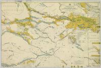
Colour-coded map depicting surveyed lands alienated, reserved, in B.C. Land Settlement Board Area, or open for preemption. Depicts land districts, land recording divisions, communities, bodies of water, transport routes, and communication lines.
File contains handwritten notes, original diagrams, charts, studies, and black and white photos relating to Plot 108.
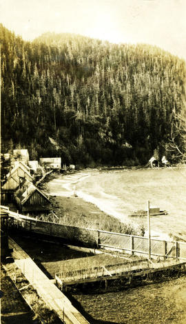
Photograph depicts a row of small buildings, beach and walkways. Handwritten annotations below the photograph reads, "Taken at Naas harbor Feb. 28th, 1926".
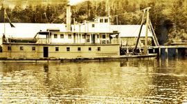
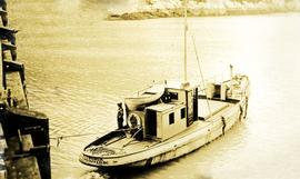
Photograph depicts a small boat with a man standing on the deck. Handwritten annotation below photograph reads, "Kitwanga Cannery tender 1926".
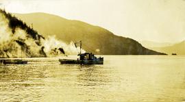
Photograph depicts a small boat pulling another boat. Handwritten annotation below photograph reads, "Nishga Cannery Tender".
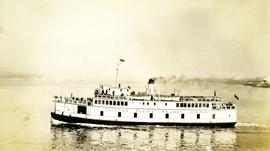
Photograph depicts a Canadian Pacific Railway boat docked at Vancouver, BC. Handwritten annotation below photograph reads, "C.P.R. Boat Vancouver".
Photograph depicts a steamship on open water. Handwritten annotation below the photograph reads, "C.P.R. Ferry".
Photograph depicts a partially frozen creek.
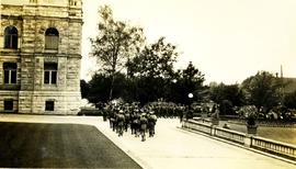
Photograph depicts a military parade at the Parliament buildings in Victoria, BC.
Photograph depicts a military parade at the Parliament buildings in Victoria, BC. Handwritten annotation below photograph reads, "Jaken at Parliament Bdl's Victoria, BC".
Photograph depicts a pier. Handwritten annotation below the photograph reads, "Vancouver, C.P.R. Pier taken from Pier A"
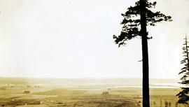
Photograph depicts a view of cleared valley land with some buildings. Handwritten annotation below the photograph reads, "near Boundary Bay Oct. 1926"
Photograph depicts a park area with fences, pedestrians, pathways and tall trees. Handwritten annotation reads "View o-Stanley Park".
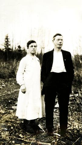
Photograph depicts a man and a woman standing side by side there is newly cleared land in the foreground and background. Handwritten annotation below photograph reads, "Mr. & Mrs.".
