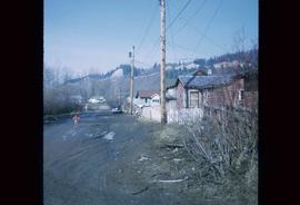
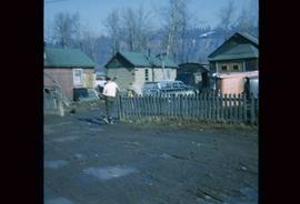
Image depicts numerous houses, and an unknown child standing in a street at Island Cache.
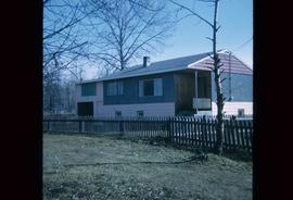
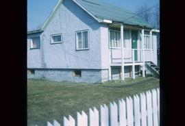
Image depicts a house at Island Cache.
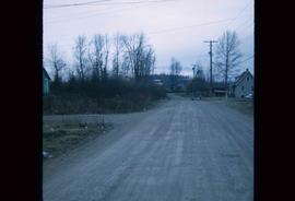
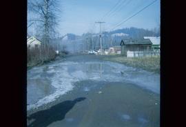
Image depicts a street in Island Cache.
Image depicts a few houses in Island Cache.
Image depicts a street in Island Cache.
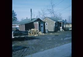
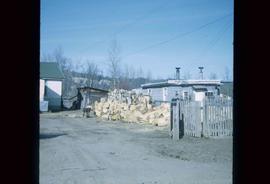
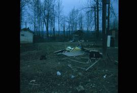
Image depicts a wood pile in Island Cache.
Image depicts Wells, B.C.
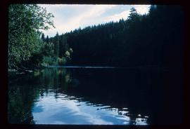
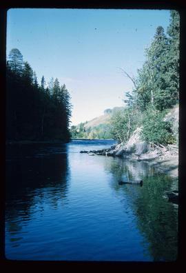
Image depicts the Stellako River.
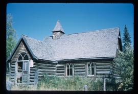
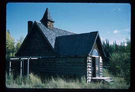
Image depicts a church located near Mapes, B.C.
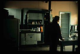
Image depicts the interior of a kitchen at an uncertain location.
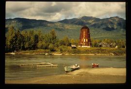
Image depicts several boats on what appears to be a river, and an old beehive burner in Penny, B.C.
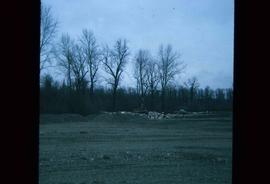
Image depicts a bulldozer and truck in an unknown location.
File consists of records created and collected by Kent Sedgwick regarding the removal of Island Cache residents after the 1972 flood and suggestions for creation of park on Cottonwood Island. The majority of the file consists of reproduced City of Prince George records. Includes memoranda to and from the mayor, city manager, and aldermen; meeting minutes of the Flood Committee; city reports on Cottonwood Island and the flooding situation; a listing of Cottonwood Island properties offered for sale to the municipality; a report entitled "Cottonwood Island - A report on desirable land use" (Nov. 1970); a "Proposal for Cottonwood Island as a Park Reserve" (1973); a document from the Cottonwood Island Study Committee; correspondence from Mary Fallis; and a City of Prince George memorandum regarding a Public Hearing.
File consists of clippings, notes, and reproductions relating to heritage homes in Central Fort George. Includes a "BC Rail" typescript letter from Dick Rowe at BC Rail to Kent Sedgwick (10 Nov. 1987); "Irene Jordan brothel location" handwritten notes by Kent Sedgwick (1990); and "Heritage inventory record" booklet describing heritage buildings in Prince George (1990). Also includes photographs depicting veteran housing on Burden Street in Prince George; a house at the address 510 Douglas Street in Prince George (2003); and Erle's Iron Works shop with a man outside welding the turrets for the Sikh temple (Aug. 1990).
The item is a photograph that depicts the Munro / Moffat house on 153 North Moffat Street in Prince George. Wood house with a log fence.
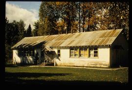
Image depicts a two-room schoolhouse in Penny, B.C.
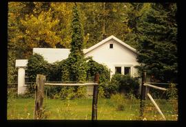
Image depicts a house with ivy growing over it. The location is uncertain.
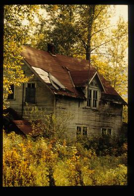
Image depicts an old house with a torn up roof. The location is uncertain.
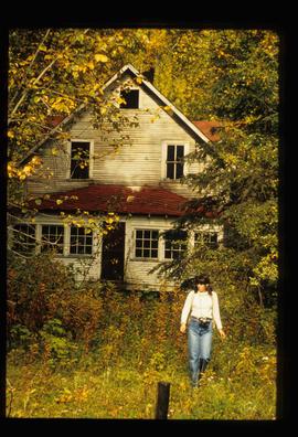
Image depicts an old house in Penny and a woman, possibly Sue Sedgwick, standing in front of it. The location is uncertain.
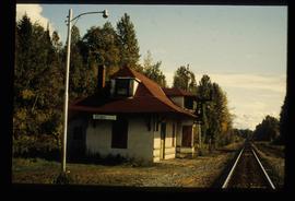
Image depicts the CN Station in Penny B.C.
File contains slides depicting a hike near the Geraldine Lakes.
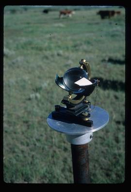
Image depicts a sunshine recorder at an uncertain location.
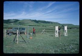
Image depicts two unidentified individuals and a van on a farm at an uncertain location, possibly a place called Cypress Hill, with an atmometer and a sunshine recorder.
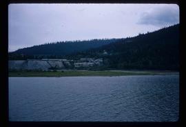
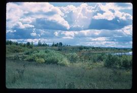
Image depicts the shore line and surrounding land of a lake or river at an airport, possibly in Prince George, B.C.
File contains slides depicting places along the east line of the BC Railway. Some are duplicates of the images found in the "East Line, Dome Creek - Lamming Mills - Misc" file.
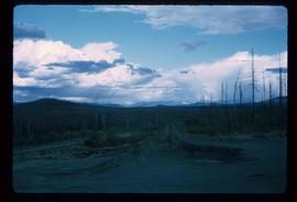
File contains slides depicting Highway 16 West, from Isle Pierre to Hazelton.
Image depicts the Stellako River.
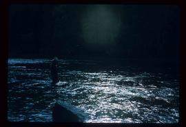
Image depicts a Fisherman wading in the Stellako River.
Image depicts a church located near Mapes, B.C.
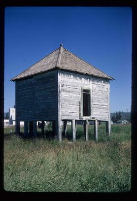
Image depicts an old shack on stilts in Fort St. James, B.C.
Image depicts a Hydraulic Placer mining location in Barkerville which has been completely deforested.
File contains slides depicting images of fences and various other forms of log construction, ranging from 1970 to 1985.
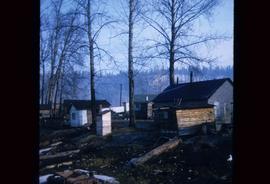
Image depicts a number of small houses at Island Cache.
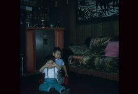
Image depicts two unknown children in a house somewhere in Island Cache.
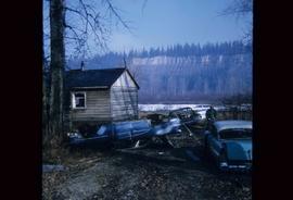
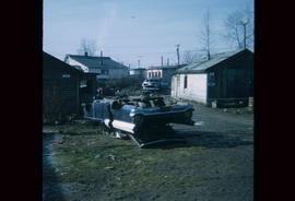
Image depicts several old, ruined cars and an unknown individual in Island Cache.
Image depicts a house in Island Cache.
Image depicts what appears to be an animal pen in Island Cache. There is a goat and numerous chickens in the image, as well as a pile of miscellaneous material.
Image depicts a few houses in Island Cache. There are two unknown individuals present.
Image depicts a damaged, upturned car in Island Cache.
Series consists of photographs taken and collected by Kent Sedgwick that primarily depict communities within the Central Interior of British Columbia, especially Prince George, Giscome, and the East Line area. Kent Sedgwick used photography to document the development and history of the natural and built landscape of the British Columbia Central Interior. The photographs depict geographic features, landscapes, previous settlements, architectural history, and industrial history.
Image depicts a view of Tabor Mountain in Prince George, B.C.
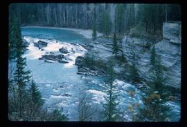
Image depicts the Rearguard Falls in Rearguard Falls Provincial Park near Tête Jaune Cache along the Yellowhead Highway.
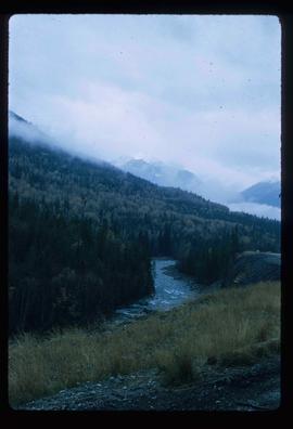
Image depicts a view of what is possibly the Yellowhead Pass on the British Columbia-Alberta border, west of Jasper A.B.
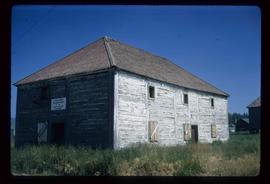
Image depicts the old Trading Outpost in Fort St. James, B.C.
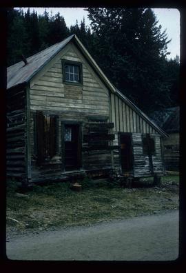
Image depicts an unrestored log house in Barkerville, B.C.
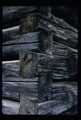
Image depicts the corner of a log house, the slide itself labels the picture as being from Barkerville, B.C. and also indicates the corner is an example of a "round log" dovetail joint.
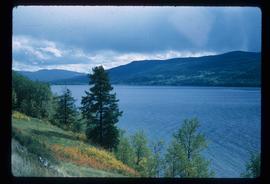
Image depicts a view of Francois Lake.
File contains slides depicting Island Cache on Cottonwood Island in Prince George, B.C. These photographs were taken in April 1970 by students involved in a Geography class at the College of New Caledonia. They record the community of Island Cache before the major flood in the spring of 1972.
These slides were utilised by CNC Geography Class taught by Alistair McVey before the 1972 flood and by Kent Sedgwick after the 1972 flood. Kent Sedgwick retained the original slides, except for two aerial views of the flooded area in the spring of 1972, which were from the in the City Planning Division files.
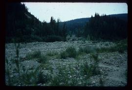
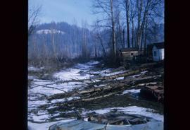
Image depicts some fallen trees at Island Cache.
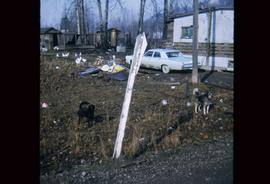
Image depicts two dogs and numerous chickens in a yard at Island Cache.
