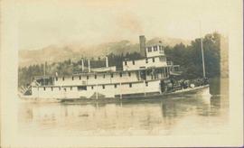
2011.3.4.06
·
Item
·
[ca. 1901-1915]
Part of North Coast & Central BC Postcard Collection
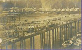
Stern wheelers “Operator” and “Conveyor” in dock. Printed annotation on recto reads: “S.S. “Operator” and “Conveyer” at Fort George, B.C. No. 107.”