2013.6.36.1.110.18
·
Stuk
·
[1996?]
Part of David Davies Railway Collection
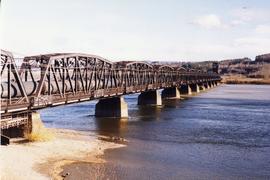
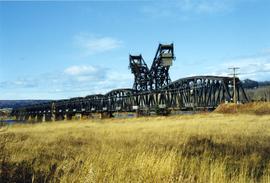
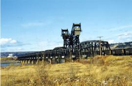
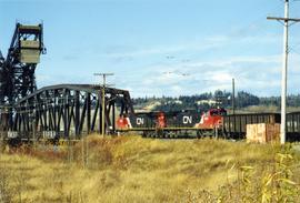
Photograph depicts a CN bridge crossing over the Fraser River.