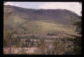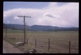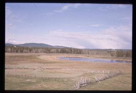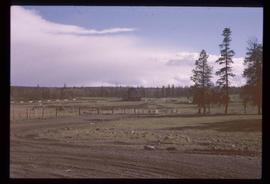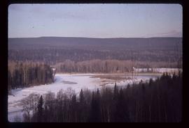
2012.13.1.46.15
·
Item
·
1980
Part of J. Kent Sedgwick fonds
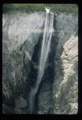
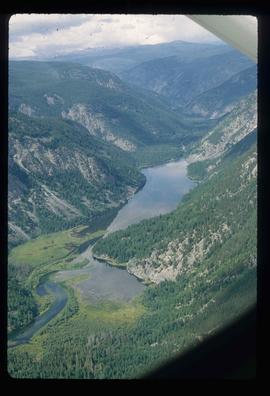
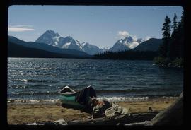
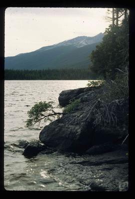
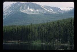
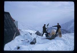
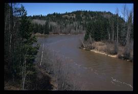
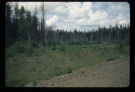
Image depicts an aerial view of South Tweedsmuir Provincial Park.