2020.4.6.491
·
File
·
1998
Part of G. Gary Runka fonds
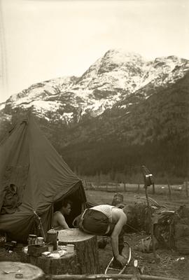
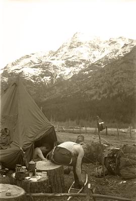
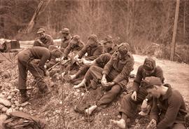
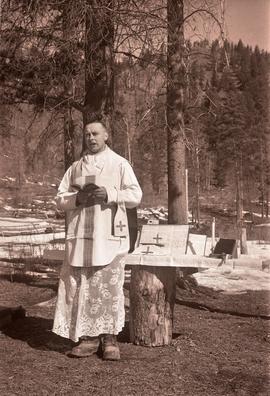
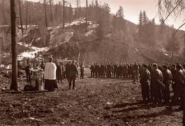
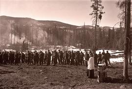
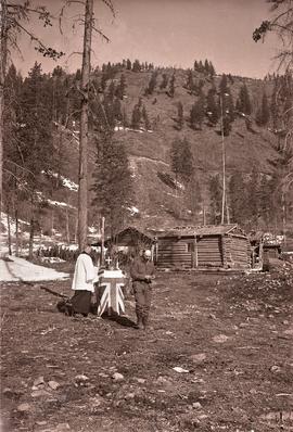
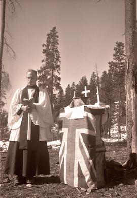
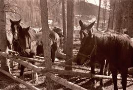
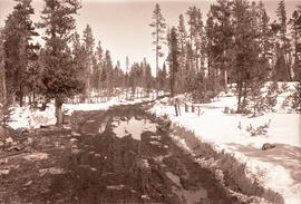
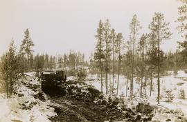
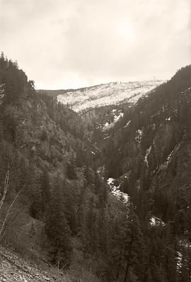
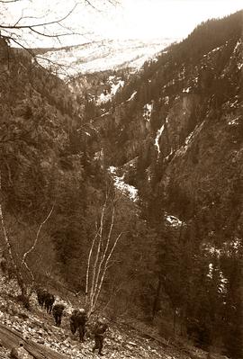
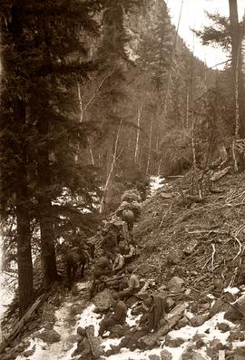
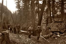
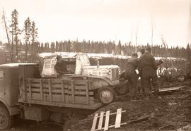
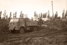
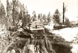
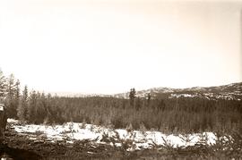
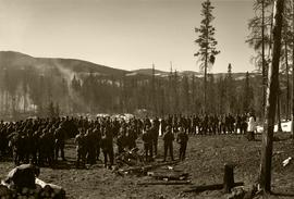
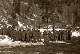
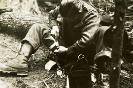
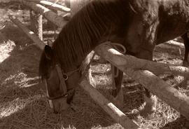
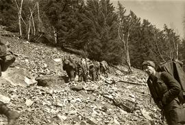
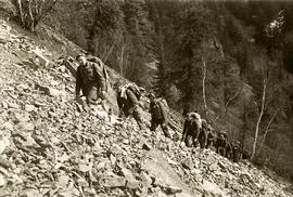
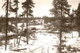
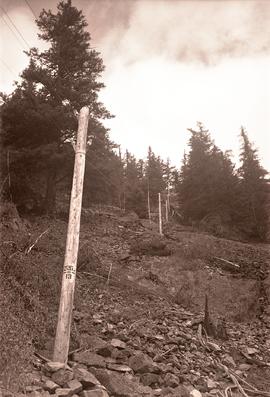
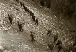
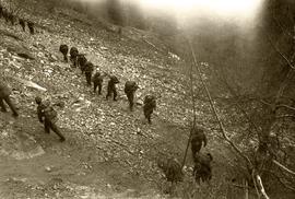
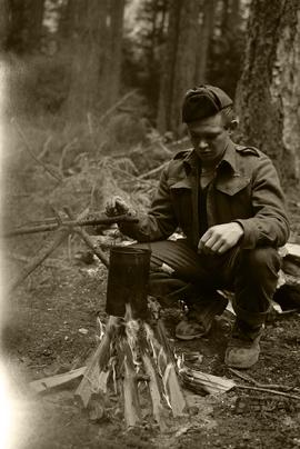
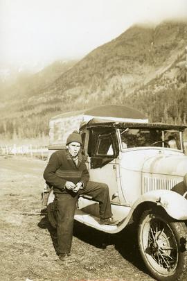
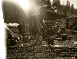
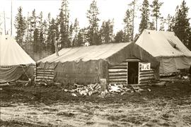
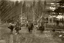
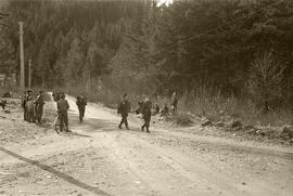
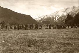
File consists of records created and accumulated by Gary Runka over the course of his consultancy work for Anahim Lake Round Table for the "Charlotte-Alplands Wilderness Tourism and Forest Recreation Opportunities Study" project in West Chilcotin. This file was numbered as G.G. Runka Land Sense Ltd. client file #491; that client number may be seen referenced elsewhere in the G. Gary Runka fonds. The Land Sense Ltd. client files generally include records such as correspondence, contracts, invoices, project reports, publications, ephemera, memoranda, maps or map excerpts, legal documents, meeting materials, clippings, and handwritten notes. File also includes 32 accompanying photographs.
Includes the following:
- Anahim Round Table Sub Regional Plan: Report of Objectives and Strategies. Recommended Options. 2000.
Maps include:
- G.G. Runka Land Sense Ltd. and Shearwater Mapping Ltd., "Charlotte-Alplands Snow Based Wilderness Tourism Product Capability Map", March 1998.
- G.G. Runka Land Sense Ltd. and Shearwater Mapping Ltd., "Charlotte-Alplands Land Based Wilderness Tourism Product Capability Map", March 1998.
- G.G. Runka Land Sense Ltd. and Shearwater Mapping Ltd., "Charlotte-Alplands Water Based Wilderness Tourism Product Capability Map", March 1998.
- G.G. Runka Land Sense Ltd. and Shearwater Mapping Ltd., "Charlotte-Alplands Biogeoclimatic Based Wilderness Tourism Product Capability Map", March 1998.
- Photocopy of map of Fraser Plateau with overlap depicting Hwy 20 corridor, Hotnarko LRUP, and other areas, n.d. (3 copies, various sizes)
- Combination of NTS maps joined together and annotated to show the Fraser Plateau area, n.d.
- Combination of NTS maps joined together and annotated to show the Coast Mountains Pacific Ranges area, n.d.
- G.G. Runka Land Sense Ltd., "Land Based Tourism Product Capability, Map Sheet 3" hand drawn annotations on printed base map, c. 1998.
- G.G. Runka Land Sense Ltd., "Land Based Tourism Product Capability, Map Sheet 2" hand drawn annotations on printed base map, c. 1998.
- G.G. Runka Land Sense Ltd., "Land Based Tourism Product Capability, Map Sheet 1" hand drawn annotations on printed base map, c. 1998.
- G.G. Runka Land Sense Ltd., "Snow Based Tourism Product Capability, Map Sheet 3" hand drawn annotations on printed base map, c. 1998.
- G.G. Runka Land Sense Ltd., "Snow Based Tourism Product Capability, Map Sheet 2" hand drawn annotations on printed base map, c. 1998.
- G.G. Runka Land Sense Ltd., "Snow Based Tourism Product Capability, Map Sheet 1" hand drawn annotations on printed base map, c. 1998.
- Topographical map of Charlotte Lake area, n.d.
- Topographical map of Charlotte Lake area with hand-drawn annotations, n.d. (3 copies with different annotations)
- Topographical map of Crazy Bear (Ginny) Lake area with hand-drawn annotations, n.d. (2 copies with different annotations)
- Topographical map of Bussel Creek and Fraser Plateau area with hand-drawn annotations, n.d. (2 copies with different annotations)
- Topographical map of Banana Lake area, n.d.
- Topographical map of Banana Lake area with hand-drawn annotations, n.d. (3 copies with different annotations)
- Hand-drawn and coloured map showing alpine flower meadows, lakes, hiking trails, and the alpine tundra boundary in Mt McClinchy area, n.d.
- G.G. Runka Land Sense Ltd., "Wildlife Presence", n.d.
- B.C. Forest Service, "Recreation Resource Inventory" 92N.083, 1993.
- B.C. Forest Service, "ART [Anahim Round Table] Interest Area, Access Management Plan" draft version, Nov. 1997
- BC Ministry of Forests, "Highway 20 #4, Chilcotin Forest District Landscape Inventory & Analysis Legend", mapsheets 92N 084-86, 094-96, 93C 003-06
- BC Ministry of Forests, "Highway 20 #5, Chilcotin Forest District Landscape Inventory & Analysis Legend", mapsheets 93C 013-15, 023-026, 033-35
- L.A. West Landscape Architects Environmental Planners, "Chilcotin Forest District, Visually Sensitive Area Inventory", Feb. 1994
- Photocopy of annotations on 93C.012-13 base map
- Photocopy of annotations on 93C.004 base map
- Photocopy of annotations on Charlotte-Alplands base map
- "Anahim Round Table Interest Area Geographical Units" annotated on combined NTS maps