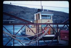
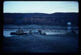
Image depicts the Clayhurst Ferry on the Peace River.
Image depicts the Clayhurst Ferry on the Peace River.
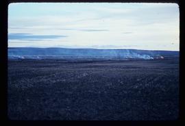
Image depicts grass burning at an uncertain location in the Peace River Region.
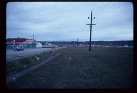
Image depicts a street of shops at an uncertain location somewhere in the Peace River Regional District. A pink and blue building, possibly a theatre, is labelled "Lux."
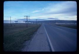
Image depicts a stretch of highway, possibly Highway 29 or 97.
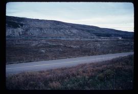
Image depicts what is possibly the Peace River running parallel to a road, possibly Highway 29.
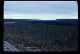
Image depicts a section of forest located somewhere in the Peace River Regional District of B.C.
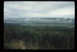
Image depicts an area of forests and fields somewhere near Fort St. John, B.C.
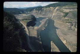
Image depicts a section of the Peace River blocked off by the W.A.C. Bennett Dam. The dam itself is not visible in the image.
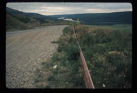
Image depicts a road with a guardrail and open fields somewhere near Dawson Creek, B.C.
