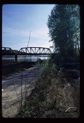
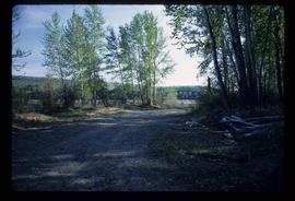
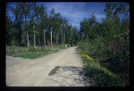
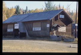
File consists of notes, clippings, and reproductions relating to Tumbler Ridge, BC. Includes: "Tumbler Ridge: Visitor's Guide to Outdoor Trails and Recreation" pamphlet by the District of Tumbler Ridge (2005); and "Writing on the Ridge" pamphlet for a writing retreat in Tumbler Ridge (2000). Also includes personal photographs from Kent Sedgwick depicting Tumbler Ridge (2001).
File consists of notes and reproductions relating to history of the Rocky Mountains. Includes: "Cave & Basin Hot Springs" pamphlet prepared by Parks Canada (1985); "Canadian Rockies Heritage" pamphlet by The Whyte Foundation (1985); "The Alpine Club of Canada" pamphlet by the Alpine Club of Canada (1990); and "Snow War: a guide to the history of Rogers Pass" pamphlet by Parks Canada (1978).
File consists of notes, clippings, and reproductions relating to Mount Sir Alexander, a mountain in the Sir Alexander Area of the Continental Ranges of the BC Canadian Rockies.
File consists of reproductions and pamphlets relating to outdoor recreation in Prince George. Includes material regarding bird watching, fishing, hiking, and regional and provincial parks. Includes: "Prince George Backroads" clipped article from The Angler's Atlas magazine (Sept. 2004); "Bird Viewing around Prince George" pamphlet prepared by the Province of British Columbia Ministry of Environment, Lands and Parks in cooperation with the Prince George Naturalist Club; "Forests for the World" pamphlet prepared by the City of Prince George; and "Regional Parks" pamphlet prepared by the Regional District of Fraser-Fort George.
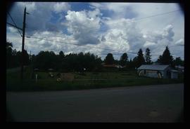
Image depicts a playground in Willow River, B.C. The slide labels it as being a "former hotel site." Map coordinates 54°04'23.7"N 122°28'26.9"W
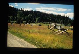
Image depicts Upper Fraser town site playground, after closure of town site. Map coordinates 54°07'01.4"N 121°56'29.9"W
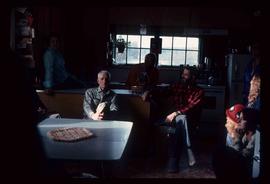
Image depicts a group of people in a kitchen area of the Mueller home in Sinclair Mill, B.C.; the man seated at the table with a grey shirt is Ray Mueller. Louisa Mueller is seated on counter wearing blue shirt. Map coordinates 54.014188, -121.676972
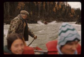
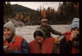
Image depicts a group of people in boats, with Ray Mueller steering one of them, on the Fraser River in the Grand Canyon, B.C.
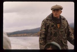
Image depicts Ray Mueller steering a boat on the Fraser River in the Grand Canyon, B.C.
Image depicts Ray Mueller steering a boat on the Fraser River in the Grand Canyon, B.C.
Image depicts two men in the cabin of a boat somewhere near Kitimat, B.C.
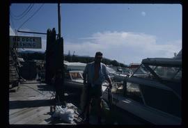
Image depicts a man holding two fish on a dock in Kitimat, B.C.
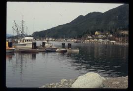
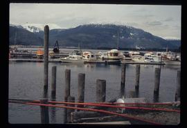
Image depicts numerous docked boats, as well as many houses on the shore in the background; located in Kitimat, B.C.
Image depicts numerous docked boats in Kitimat, B.C.
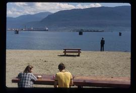
Image depicts two individuals seated at a picnic table while a third stands closer to the water on a beach somewhere in Kitimat, B.C. What appears to be a harbour can be seen on the water.
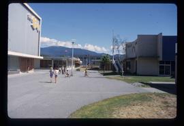
Image depicts numerous individuals passing in front of the Bay in Kitimat, B.C.
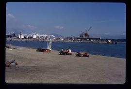
Image depicts three picnic tables, one of which is occupied with three unknown individuals, on a beach somewhere in Kitimat, B.C.
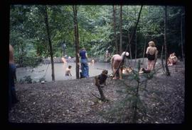
Image depicts a large group of people enjoying the Mount Layton Hot springs in the Lakelse Lake Provincial Park north of Kitimat, B.C.
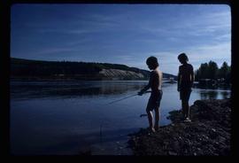
Image depicts two youths fishing from the bank of the Nechako River on Cottonwood Island.
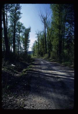
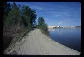
Image depicts a nature trail on Cottonwood Island.
Image depicts a nature trail on Cottonwood Island.
Image depicts a nature trail on Cottonwood Island.
Image depicts a nature trail on Cottonwood Island.
Image depicts a nature trail on Cottonwood Island.
Image depicts the Buckhorn Snowmobile Club, though it was formerly the Buckhorn school.
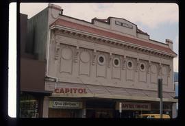
Image depicts an old theatre owned by Paul Aivazoff in Prince Rupert, B.C. It opened in 1935 and was closed in 1981; it has since been renovated for retail use.
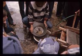
Image depicts a pan of gold nuggets in Barkerville.
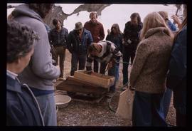
Image depicts a crowd watching a man pan for gold in Barkerville.
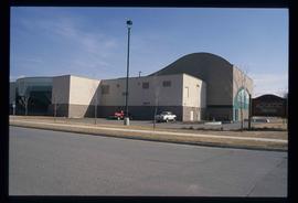
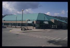
Image depicts the Aquatic Centre in Prince George, B.C.
Image depicts the Prince George Multiplex.
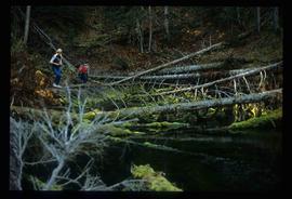
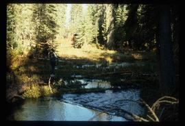
Image depicts numerous fallen trees and two unknown individuals somewhere in the Crooked River Provincial Park, near the Livingston Springs.
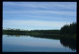
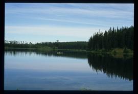
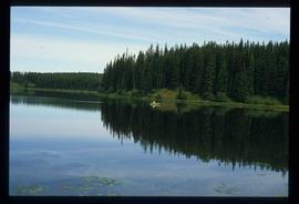
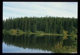
Image depicts a canoe on the Fraser Lake.
Image depicts a canoe on the Fraser Lake.
Image depicts a canoe on the Fraser Lake.
Image depicts the Livingston Springs in the Crooked River Provincial Park, with an unknown individual present.
Image depicts a canoe on the Fraser Lake.
File contains slides depicting a caving group in various places in West Virgina, USA.
File contains slides depicting a hike near the Geraldine Lakes.
File contains slides depicting numerous recreational locations from various places in Canada.
File contains slides depicting recreational activities on Tabor Mountain in Prince George, B.C.
File contains slides depicting places on Haida Gwaii, formerly known as the Queen Charlotte Islands.
File contains slides depicting Raven Lake and its surrounding areas.
File contains slides depicting Pine Pass and Murray Ridge, B.C.
File contains slides depicting images of areas in the Carp Lake Provincial Park.
File contains slides depicting places in and around the Junction Sheep Range Provincial Park south-west of Williams Lake.
File contains slides depicting images of the Fraser Canyon from somewhere around 1975.
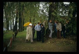
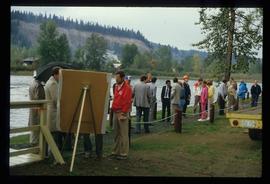
Image depicts a crowd of people in Cottonwood Park in Prince George, B.C.
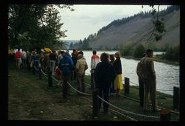
Image depicts a crowd of people on a section of the Heritage Trail on Cottonwood Island in Prince George, B.C.
Image depicts a large crowd of people on a section of the Heritage Trail on Cottonwood Island in Prince George, B.C.
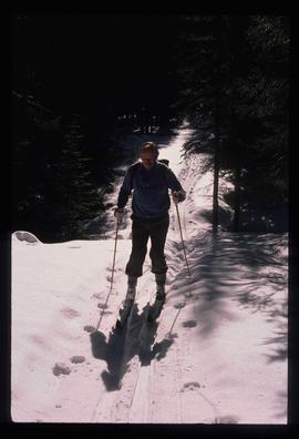
Image depicts an unidentified man cross country skiing somewhere on Tabor Mountain in Prince George, B.C.
