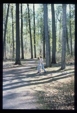
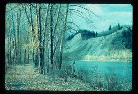
Image depicts a couple walking through a nature trail in Cottonwood Island Park. Map coordinates 53°55'23.6"N 122°43'53.8"W
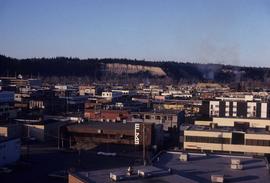
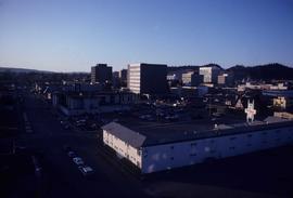
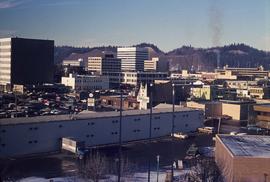
Image depicts downtown Prince George taken from City Hall looking north. Map coordinates 53°54'46.2"N 122°44'43.9"W
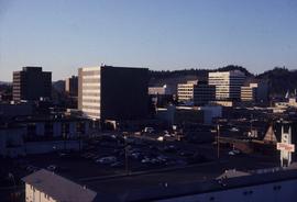
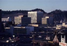
Image depicts downtown Prince George taken from City Hall looking northwest. Map coordinates 53°54'46.2"N 122°44'43.9"W
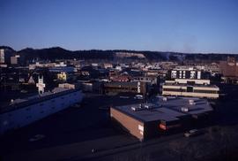
Image depicts downtown Prince George taken from City Hall looking north. Map coordinates 53°54'46.2"N 122°44'43.9"W
Image depicts downtown Prince George taken from City Hall looking northwest. Map coordinates 53°54'46.2"N 122°44'43.9"W
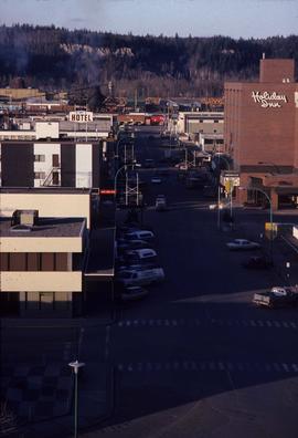
Image depicts a view of Prince George from City Hall looking northeast along George Street. Map coordinates 53°54'46.3"N 122°44'41.9"W
Image depicts downtown Prince George looking northwest. Map coordinates 53°54'48.7"N 122°44'45.6"W
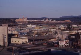
Image depicts a view of Prince George from City Hall looking northeast with the pulp mills in the background. Map coordinates 53°54'46.3"N 122°44'41.9"W
Image depicts downtown Prince George looking northwest across Dominion Street. Map coordinates 53°54'48.7"N 122°44'45.6"W
Image depicts a nature trail along the Nechako River at Island Cache looking west with the cutbanks in the background. Map coordinates 53°55'36.2"N 122°45'11.8"W
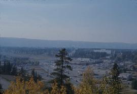
Image depicts Parkwood Place taken from Connaught Hill looking west with the hospital in the background. Map coordinates 53°54'39.9"N 122°45'02.5"W
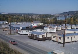
Image depicts mobile homes for sale on Cowart Road looking northeast with Simon Fraser Bridge in background. Map coordinates 53°52'39.3"N 122°46'13.1"W
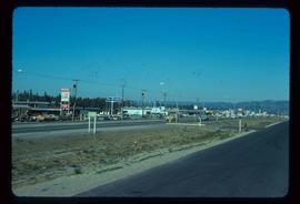
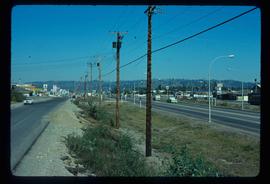
Image depicts Highway 97 at 15th Ave. looking north. Map coordinates 53°54'42.1"N 122°46'53.1"W
Image depicts Highway 97 at 15th Ave. looking north. Map coordinates 53°54'36.0"N 122°46'55.5"W
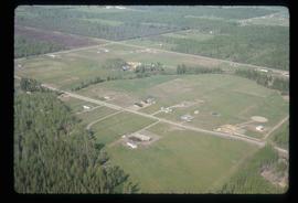
Image depicts a clearing in Prince George, B.C., possibly in the Pineview area.
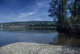
Image depicts the Fraser River and the Grand Trunk Pacific Bridge from Cottonwood Island Park.
Slide depicts a bulldozer clearing ground, likely at the Aleza Lake Experiment Station.
Slide depicts cleared ground and felled trees in a forested area, likely at the Aleza Lake Experiment Station.
Slide depicts the Ranger Station at the Aleza Lake Experiment Station.
Slide depicts a view of what is possibly the Upper Fraser River.
Slide depicts a cleared area at the Aleza Lake Experiment Station with plant regeneration.
Slide depicts a burning building at the Aleza Lake Experiment Station on the date it was shut down by the BC Forest Service.
Slide depicts a cleared area in a forest, likely at the Aleza Lake Experiment Station.
Slide depicts a detonation in an area of cleared ground in a forested area, likely the Aleza Lake Experiment Station. Work may have been undertaken for roadbuilding activities at the Experiment Station.
Slide depicts the original wooden BC Forest Service sign for the Aleza Lake Forest Experiment Station.
Slide depicts a black bear eating garbage by wooden outbuildings, possibly at the Aleza Lake Experiment Station.
Slide depicts a sawmill in operation, likely located in the Upper Fraser area, with a pile of burning wood products and a beehive burner.
Slide depicts a heavily forested area with fallen logs, likely at the Aleza Lake Experiment Station.
Slide depicts a man operating heavy equipment in a forest, likely at the Aleza Lake Experiment Station.
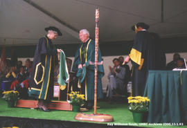
Item is a photograph of Ray Williston receiving an honorary degree at the University of Northern British Columbia from Chancellor Iona Campagnolo.
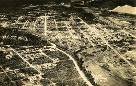
Aerial view of Prince George and surrounding forested area. Printed annotation on recto reads: "Prince George, B.C."
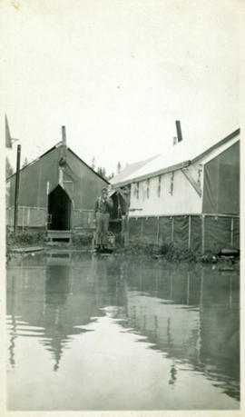
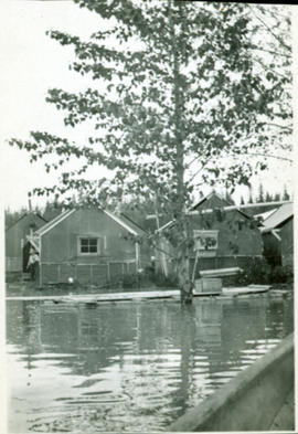
Photograph depicts lane in front of tent buildings flooded with water, and a man standing near doorway to first building. It is believed that this photograph may depict the Island Cache in flood, at Prince George, BC.
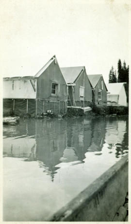
Photograph depicts lane in front of tent buildings flooded with water, forest trees in background. Photograph taken from canoe, portion of canoe visible in foreground. It is believed that this photograph may depict the Island Cache in flood, at Prince George, BC.
Photograph depicts lane in front of tent buildings flooded with water. Tree in midground, forest trees in background. A man can be seen between first and second row of tent buildings. Photograph taken from canoe, portion of canoe visible in right foreground. It is believed that this photograph may depict the Island Cache in flood, at Prince George, BC.
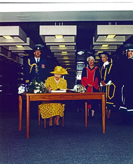
Photograph taken in the Geoffrey R. Weller Library at the University of Northern British Columbia in Prince George, B.C. Officer in uniform stands in background.
Handwritten annotation on verso reads: “Aug 17 - 1994, Opening Day, UNBC, Library".
Map reproduction depicts major areas of the Aleza Lake Experiment Forest.
Forest cover map showing a crossing area of the McGregor River is annotated with a road and ferry crossing.
Map reproduction of the Sinclair Spruce Lumber Co. Ltd. T.S.H.L. A01848 C.P. 310 cutting area, likely in the Aleza Lake Research Forest.
Map reproduction of the Aleza Lake Research Forest depicts timber sale areas, forest cover, and other details.
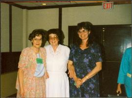
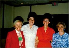
Photograph depicts Moran standing between two unidentified women. Fourth woman semi-visible on far right. Photograph taken during a three day meeting of the B.C. Council of the Canadian Federation of University Women, to honour the 25th anniversary of the Prince George club, and release the new edition of their book 'Prince George Street Names: Our History'.
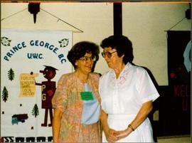
Photograph depicts Moran standing to right of unidentified woman. Banner hung in background reads: "PRINCE GEORGE B.C. / U.W.C / FORUMS SCHOLARSHIPS / LOCAL HISTORY". Photograph taken during a three day meeting of the B.C. Council of the Canadian Federation of University Women, to honour the 25th anniversary of the Prince George club, and release the new edition of their book 'Prince George Street Names: Our History'.
Photograph depicts Justa Monk standing to right of Premier Harcourt in unknown room. John Alexis can be seen between them in background. Handwritten annotation on recto of photograph: "Justa Monk / John Alexis Tachie Village / The Premier / Taken in Prince George, B.C. Jan 23/95 / 'The day Kemano 2 was killed'."
Photograph depicts Moran standing second from left in group on four women. Photograph taken during a three day meeting of the B.C. Council of the Canadian Federation of University Women, to honour the 25th anniversary of the Prince George club, and release the new edition of their book 'Prince George Street Names: Our History'.Handwritten annotation on recto of photograph: "4-7 Conf".
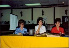
Photograph depicts Moran seated between two unidentified women at table with pitcher and large open book in front of them. Projection screen stands midground, banners hang on wall in background. Photograph taken during a three day meeting of the B.C. Council of the Canadian Federation of University Women, to honour the 25th anniversary of the Prince George club, and release the new edition of their book 'Prince George Street Names: Our History'. Handwritten annotation on recto of photograph: "4-5 Conf".
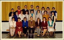
Photograph depicts group of 23 men and women posed for photo in gymnasium. Plaque in foreground reads "QUINSON ELEMENTARY STAFF 1985 86". Bridget Moran stands third from left in middle row.
Image depicts a view of the Millar Addition suburb from Connaught Hill in Prince George, B.C.
Image depicts a view of the Millar Addition suburb in Prince George, B.C.
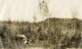
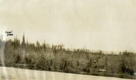
Original photographic print included in "Northern Interior Forest Experiment Station: Report of Preliminary Investigations" by Percy Barr.
Original photographic print included in "Northern Interior Forest Experiment Station: Report of Preliminary Investigations" by Percy Barr.
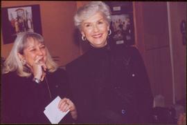
Photograph taken at Chancellor's Farewell Appreciation Celebration held at the University of Northern British Columbia in Prince George, B.C.; see also items 2009.6.1.582 - 2009.6.1.590.
