File consists of notes, clippings, and reproductions relating to the Cariboo and Northwest Digest publication. Also includes a CD-R that contains Sedgwick's index spreadsheet and accompanying documentation about the publication.
This very large drawing shows CN leases and private property buildings on Island Cache in detail.
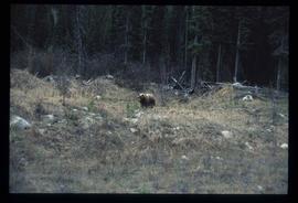
Lockwood Survey Corporation Ltd.Image depicts a bear, possibly a grizzly. The location is uncertain.
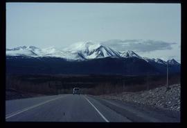
Image depicts a van on a highway with mountains in the distance; the location is uncertain, though it is possibly along the Alaska Highway.
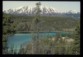
Image depicts a lake and a cabin at an uncertain location.
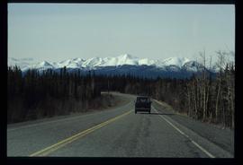
Image depicts a van on a highway with mountains in the distance; the location is uncertain, though it is possibly along the Alaska Highway.
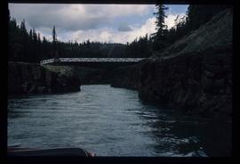
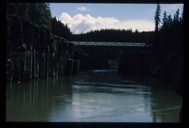
Image depicts the Robert Lowe Bridge, built in 1922, in the Miles Canyon near Whitehorse Y.T.
Image depicts the Robert Lowe Bridge, built in 1922, in the Miles Canyon near Whitehorse Y.T.
Image depicts a river in the Miles Canyon near Whitehorse Y.T. The Robert Lowe Bridge, built in 1922, can be seen over the canyon.
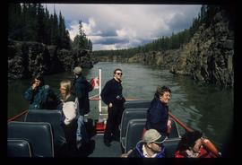
Image depicts several unidentified individuals on a boat in the Miles Canyon near Whitehorse Y.T.
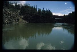
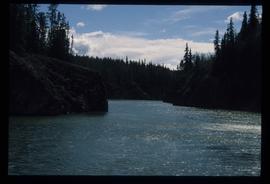
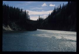
Image depicts a river in the Miles Canyon near Whitehorse Y.T.
Image depicts a river in the Miles Canyon near Whitehorse Y.T.
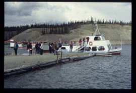
Image depicts numerous unidentified individuals getting off a boat which bears the name "Schwatka." It is located somewhere in Miles Canyon.
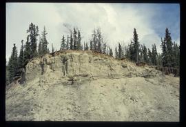
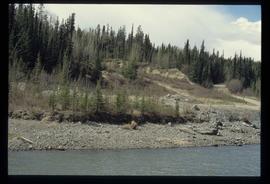
Image depicts what appears to be an eroding rock face. The slide itself is labelled "ash loger at top" for unknown reasons. Possibly located somewhere near Whitehorse, Y.T.
Image depicts a small section of the Alaska Highway somewhere near Whitehorse, Y.T. The slide also appears to be labelled "army washing" for unknown reasons.
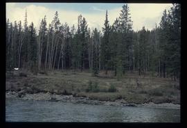
Image depicts numerous trees on the bank of a river, possibly in Miles Canyon near Whitehorse, Y.T. The slide is labelled "canyon city."
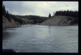
Image depicts a river at an uncertain location, but possibly in Miles Canyon near Whitehorse, Y.T.
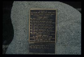
Image depicts a memorial plaque which reads: "In memory of the Atlin men who gave their lives for their country in World War II," and then proceeds to list several individuals.
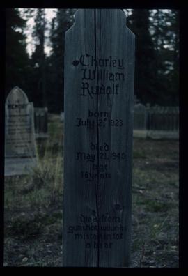
Image depicts the grave of Charley William Rudolf in the Atlin Cemetery. It reads: "Born July 2, 1923. Died May 21, 1940. Age 16 years. Died from gunshot wounds, mistaken for a bear."
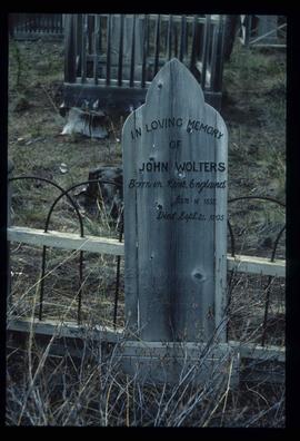
Image depicts the grave of John Wolters in the Atlin Cemetery. It reads: "Born in Kent, England, Jan 16 1857. Died Sept. 21 1905."
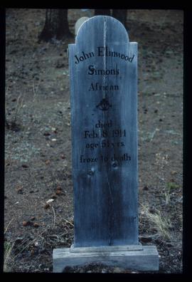
Image depicts the grave of John Elmwood Simons in the Atlin Cemetery. It reads: "died Feb. 8, 1914, age 61 yrs. froze to death."
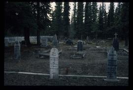
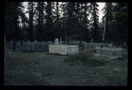
Image depicts numerous graves in the Atlin Cemetery.
Image depicts numerous graves in the Atlin Cemetery.
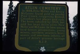
Image depicts a sign in the Atlin Cemetery, it reads: "In 1898, Fritz Miller and Kenny McLaren found gold on nearby Pine Creek, triggering British Columbia's last placer gold rush. The boom subsided by 1908, but gold has kept Atlin alive. Now Miller and McLaren lie here among hard-bitten prospectors, young miners, northern aviators, brave women and new-born infants, all part of Atlin's pioneer heritage R.I.P."
Image depicts Bennett Lake near Carcross, Y.T.
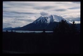
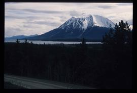
Image depicts a mountain, possibly Atlin Mountain.
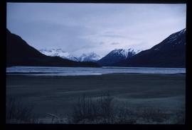
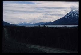
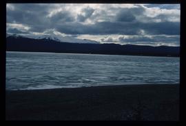
Image depicts what is possibly Atlin Lake, with numerous mountains in the distance and Atlin Mountain visible on the right of the image.
Image depicts a mountain, possibly Atlin Mountain.
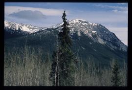
Image depicts a mountain somewhere along what is possibly the Atlin Road.
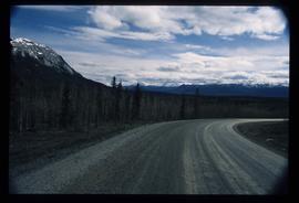
Image depicts what is possibly Atlin Road. Numerous mountains are visible in the distance.
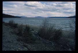
Image depicts a lake somewhere along what is possibly the Atlin Road to Atlin, B.C.
Image depicts a lake somewhere along what is possibly the Atlin Road to Atlin, B.C.
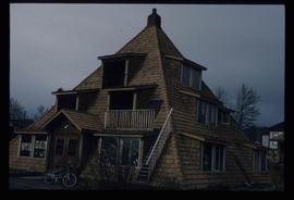
Image depicts a pyramid shaped house, possibly located in Atlin, B.C.
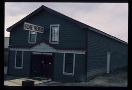
Image depicts the Globe Theatre in Atlin, B.C.
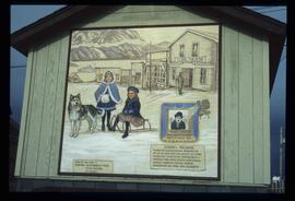
Image depicts a mural of Atlin with information about the Globe Theatre and Edwin L. Pillman on it. It reads: "Talented businessman arrived in Atlin in 1899, and for nearly fifty years operated a variety of businesses ~ grocery and drug stores, undertaker, market gardens and the theatre. Assissted by his loyal wife Elizabeth." It also states that the Globe Theatre was built in 1917 and was used until the early 40's.
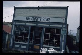
Image depicts the Garrett Store in Atlin, B.C. A plaque on it reads: "John Garrett, a prominent English cricket player, came to Atlin in 1910 to mine gold. In 1917 he opened this grocery and dry goods store where he also sold his wife's fresh baked bread and sweets."
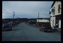
Image depicts numerous old buildings on a main street in Atlin, B.C.
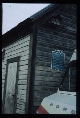
Image depicts an old building which used to be the Discovery Jail. The plaque on it reads: "It cost $800 to build this two cell jail in 1902. The solid walls are 2"x6" laid flat one on top of the other. It was skidded to Atlin in the 1920s and used as a residence for many years."
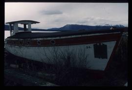
Image depicts an old boat on the shore of Atlin Lake.
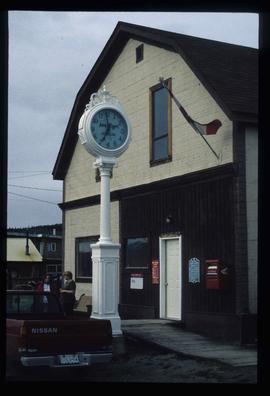
Image depicts the post office in Atlin, B.C.
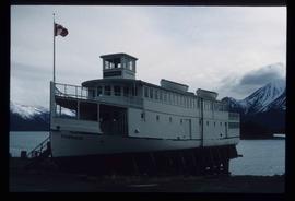
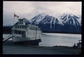
Image depicts a boat named "the Tarahne," which is located in Atlin, B.C. Atlin Lake and Mountain are visible in the background.
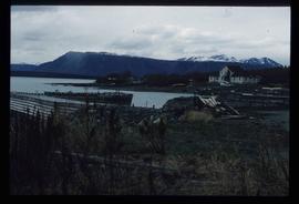
Image depicts a dock on the shore of Atlin Lake, as well as a building that may have once been a hospital. The slide is simply labelled "hospital."
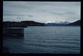
Image depicts Atlin Lake.
Image depicts a boat named "the Tarahne," which is located in Atlin, B.C. Atlin Lake and Mountain are visible in the background.
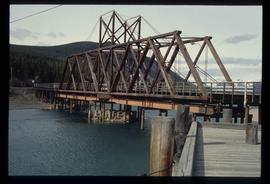
Image depicts what appears to be a footbridge at an uncertain location.
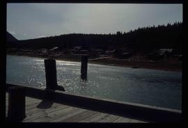
Image depicts what appears to be a small community on the shore of a lake. The location is uncertain.
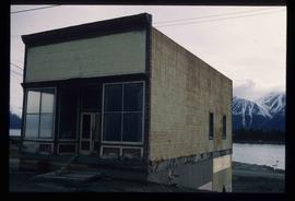
Image depicts an old building undergoing a restoration process, possibly in Atlin, B.C.
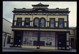
Image depicts the old railroad building in Skagway, Alaska.
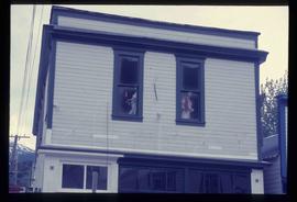
Image depicts a pair of mannequins in the second story windows of a building, possibly located in Skagway, Alaska.
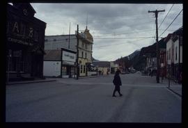
Image depicts one of the main streets, Broadway, in Skagway, Alaska.

