2012.13.1.72.07
·
Item
·
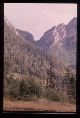
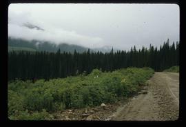
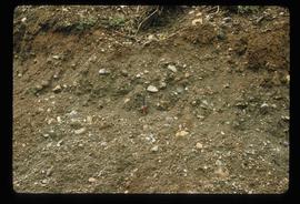
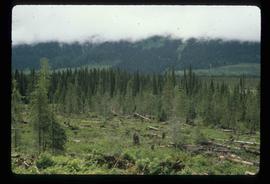
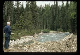
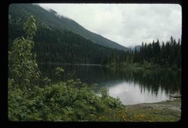
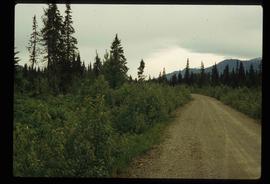
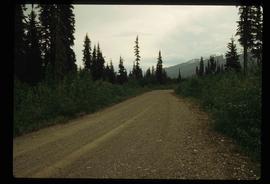
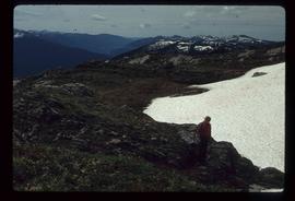
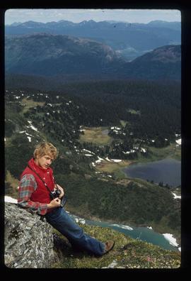
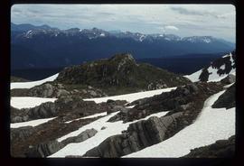
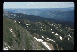
Sep. 1976
Part of J. Kent Sedgwick fonds
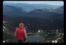
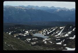
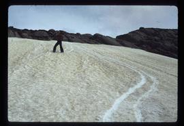
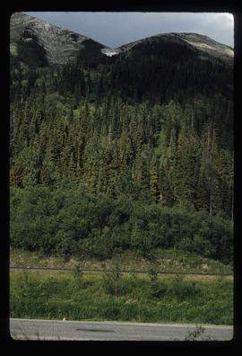
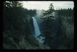
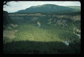
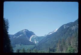
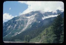
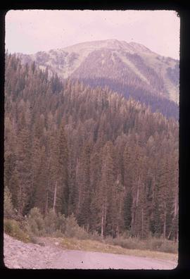
Image depicts a view of a section of a pass in the McGregor Valley.