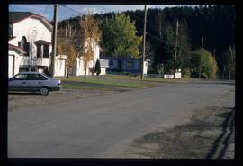
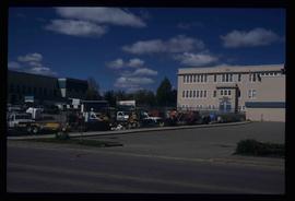
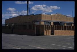
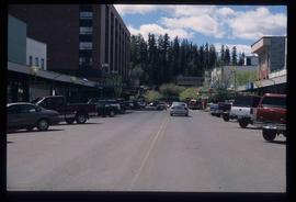
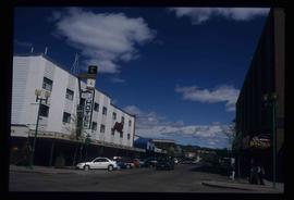
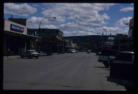
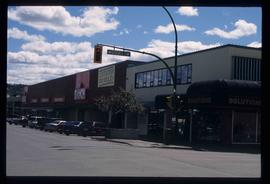
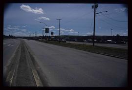
Image depicts an uncertain street in Prince George, B.C.
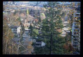
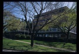
Image depicts Prince George with numerous trees obscuring most of the view.
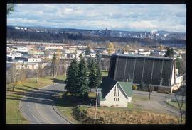
Image depicts Prince George.
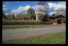
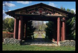
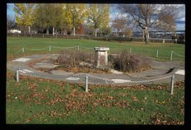
Image depicts the Lheidli T'enneh Burial Grounds in Fort George Park.
Image depicts the Lheidli T'enneh Burial Grounds in Fort George Park.
Image depicts the Lheidli T'enneh Burial Grounds in Fort George Park.
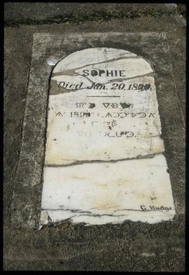
Image depicts a grave-marker in the Lheidli T'enneh Burial Grounds in Fort George Park.
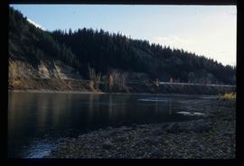
Image depicts the Fraser River at Paddlewheel park, with a train on the other side of the river, in Prince George B.C.
Image depicts the Fraser River at Paddlewheel park, with a train on the other side of the river, in Prince George B.C.
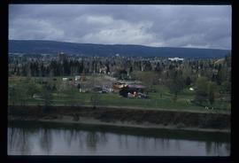
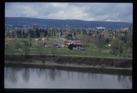
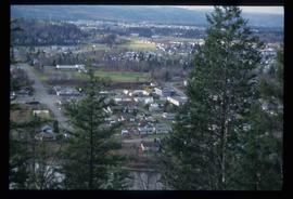
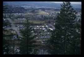
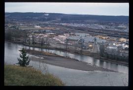
Image depicts a view of Prince George.
Image depicts a view of Prince George.
Image depicts a view of Prince George.
Image depicts a view of Prince George.
Image depicts a sawmill in Prince George, B.C.
Image depicts the King George V School in Prince George, which was demolished sometime around 2006 and Duchess Park Secondary School was built in its place.
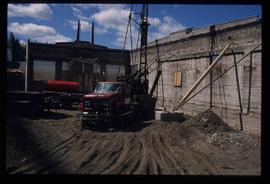
Image depicts an unknown building under construction at the corner of 6th Avenue and Dominion Street in Prince George, B.C.
Image depicts an unknown building under construction at the corner of 6th Avenue and Dominion Street in Prince George, B.C.
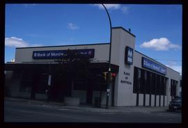
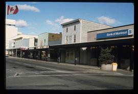
Image depicts the Bank of Montreal in Prince George, B.C.
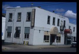
Image depicts the La Tienda Hair and Nail Salon on an uncertain street somewhere in Prince George, B.C.
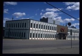
Image depicts the CN Building in Prince George, B.C.
Image depicts the Javva Mugga Mocha Cafe in Prince George, B.C.
Image depicts a view of George Street with the Prince George City Hall at the corner of George Street and 7th Avenue.
Image depicts a view of George Street with the Prince George Hotel.
Image depicts a view of 3rd Avenue with the Columbus Hotel prior to the fire that destroyed it in 2008.
Image depicts a view of the corner of 3rd Avenue and Brunswick Street in Prince George, B.C.
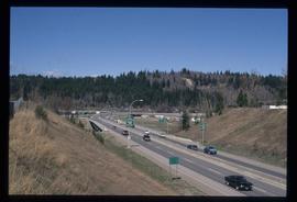
Image depicts a view along Highway 97 in Prince George, B.C.
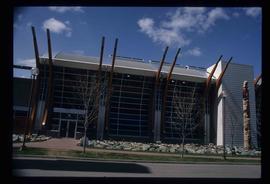
Image depicts the Two Rivers Art Gallery in Prince George, B.C.
Image depicts City Hall in Prince George, B.C.
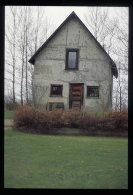
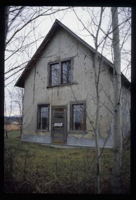
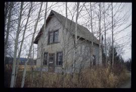
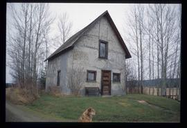
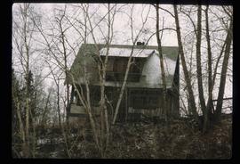
Image depicts an old Swedish style house somewhere in the Pineview subdivision in Prince George, B.C.
Image depicts an old Swedish style house somewhere in the Pineview subdivision in Prince George, B.C.
Image depicts an old Swedish style house somewhere in the Pineview subdivision in Prince George, B.C.
Image depicts an old Swedish style house somewhere in the Pineview subdivision in Prince George, B.C.
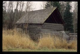
Image depicts an old barn somewhere in the Pineview subdivision in Prince George, B.C.
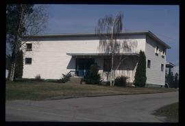
Image depicts a house somewhere in the South Fort George subdivision of Prince George, B.C.
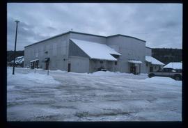
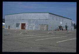
Image depicts the Exhibition Sports Centre, which used to be a drill hall army base, on Keller Street in Prince George, B.C.
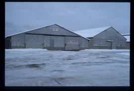
Image depicts a few storage sheds somewhere in Prince George, B.C.
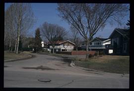
Image depicts a street of houses somewhere in Prince George, B.C.
Image depicts the Exhibition Sports Centre, which used to be a drill hall army base, on Keller Street in Prince George, B.C.
Image depicts a building which is a part of the Studio 2880 Arts Complex on 15th Avenue in Prince George, B.C.
Image depicts a highway, possibly Highway 97, in Prince George, B.C.
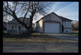
Image depicts a house somewhere in Prince George, B.C.
Image depicts a street of businesses, possibly 3rd Avenue, in Prince George, B.C.
Kent Sedgwick’s research subject files contain original research notes, interviews and oral histories, news clippings, and collected primary and secondary sources. The series also includes both original and reproduction photographs, audio recordings, and maps. The subject files primarily relate to the history, urban planning, and historical geography of the Central Interior of British Columbia, especially Prince George area and the East Line communities over the course of the 20th century. They also include extensive notes on geographic features, landscapes, interpretative trails, architectural history, industrial history, history of Western exploration and land survey, and the First Nations history of the region.
Map depicts the city of Prince George Boundary expansions since incorporation in 1915.
Map depicts the city of Prince George Boundary expansions since 1913.
Map depicts the city of Prince George with annotations of the boundary expansions from 1915 to 1964.
Map depicts boundaries of study areas, including major study area, community study area, and the city of Prince George boundaries.
Map depicts the city of Prince George boundary expansions from 1913 to 1974.
Map depicts to Canadian federal electoral districts for the 1993 federal election.
Index print contains 25 photographs of a yard, a blue house and 5 portraits. The photographs were taken by Kent Sedgwick.
