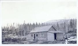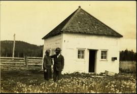
2011.12.22
·
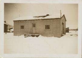
Item
·
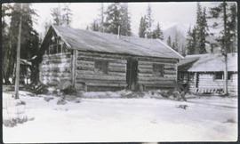
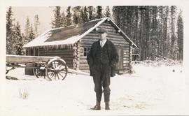
[ca. September 1950- June 1951]
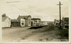
Part of Giscome, BC Historical Photograph collection
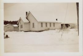
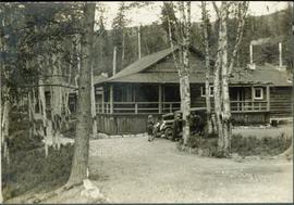
Side perspective of the teacherage located on Brown Ave. in Giscome. Photo taken in November after the first snow. Handwritten annotation in pen on verso reads: “Our House.”