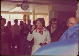
Item consists of transcript of interview with musician Gary Fjellgaard
Harkins, BobMap depicts the proposed electoral districts of British Columbia, including: Burnaby, Capilano, Cariboo-Chilcotin, Comox-Powell River, Cowichan-Malahat-The Islands, Esquimalt-Saanich, Fort Nelson-Peace River, Fraser Valley East, Fraser Valley West, Kamloops-Shuswap, Kootenay East, Kootenay West, Mission-Port Moody, Nanaimo-Alberni, New Westminster-Coquitlam, North Vancouver-Burnaby, Okanagan North, Okanagan-Similkameen, Prince George-Bulkley Valley, Richmond-South Delta, Skeena, Surrey-White Rock-North Delta, Vancouver Centre, Vancouver East, Vancouver Kingsway, Vancouver Quadra, Vancouver South, and Victoria.
File consists of records created and collected by Kent Sedgwick regarding the removal of Island Cache residents after the 1972 flood and suggestions for creation of park on Cottonwood Island. The majority of the file consists of reproduced City of Prince George records. Includes memoranda to and from the mayor, city manager, and aldermen; meeting minutes of the Flood Committee; city reports on Cottonwood Island and the flooding situation; a listing of Cottonwood Island properties offered for sale to the municipality; a report entitled "Cottonwood Island - A report on desirable land use" (Nov. 1970); a "Proposal for Cottonwood Island as a Park Reserve" (1973); a document from the Cottonwood Island Study Committee; correspondence from Mary Fallis; and a City of Prince George memorandum regarding a Public Hearing.
Image depicts logs being stripped of their bark at a saw mill in Prince George, B.C.
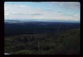
Image depicts a view of Prince George from Gunn Point in the L.C. Gunn Park looking north. Map coordinates 53°54'26.2"N 122°43'35.8"W.
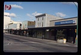
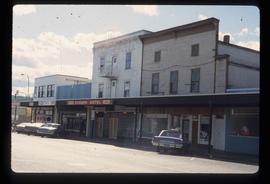
Image depicts the south side of 3rd Ave in Prince George, B.C.
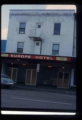
Image depicts the Europe Hotel on the south side of 3rd Ave in Prince George, B.C.
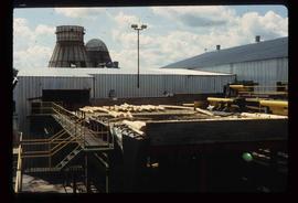
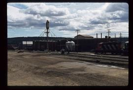
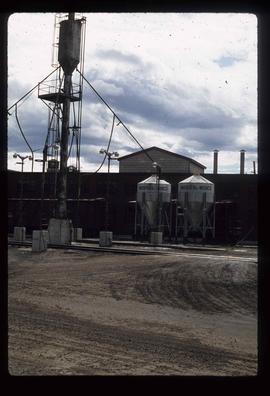
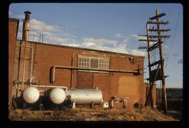
Image depicts what is possibly a train fuelling station at the GTP Roundhouse in Prince George, B.C.
Image depicts what is possibly a train fuelling station at the GTP Roundhouse in Prince George, B.C.
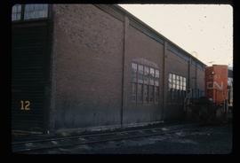
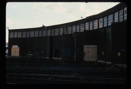
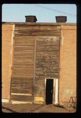
Image depicts the Grand Trunk Pacific railway roundhouse in Prince George, B.C.
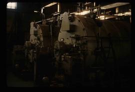
Image depicts machinery in the GTP roundhouse in Prince George, B.C.
Image depicts the GTP roundhouse in Prince George, B.C.
Image depicts the GTP roundhouse in Prince George, B.C.
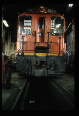
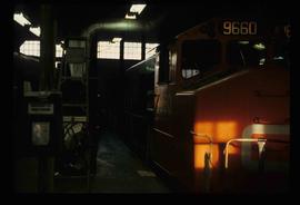
Image depicts a train in the interior of the GTP roundhouse in Prince George, B.C.
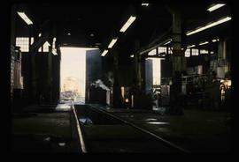
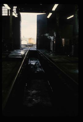
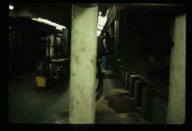
Image depicts the interior of the GTP roundhouse in Prince George, B.C.
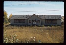
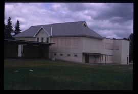
Image depicts an old, boarded up school, possibly the Central Fort George Traditional School in Prince George, B.C.
Item is a map depicting proposed land use between 1978 and 2012 in the City of Prince George. This map was drawn for the City of Prince George Community Plan; this particular version of the map was displayed in City of Prince George council chambers through 1979.
Map depicts the City of Prince George in 1976, including the Fraser River, Nechacko River, Cariboo Highway, Carney St., and Patricia Blvd. where the electoral district boundary was proposed along for the two districts of Fort Nelson-Peace River and Prince George-Bulkley Valley.
Promotional map of Prince George includes an annotated line drawn down the Nechako River, along Central st., 5th Avenue, Carney St., 15th Avenue, and Highway 16, which can be assumed to be the electoral district line. Annotations in pen note the electoral districts of "Fort Nelson-Peace River" and "Prince George-Bulkley Valley".
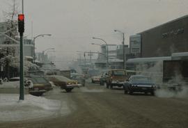
Image depicts 3rd Ave at Brunswick Street in -35 degree weather. Map coordinates 53°55'03.0"N 122°44'51.7"W
Image depicts a view of Prince George from Gunn Point in the L.C. Gunn Park looking north. Map coordinates 53°54'26.2"N 122°43'35.8"W.
Image depicts a view of Prince George from Gunn Point in the L.C. Gunn Park looking north. Map coordinates 53°54'26.2"N 122°43'35.8"W.
Image depicts a view of Prince George from Gunn Point in the L.C. Gunn Park looking north. Map coordinates 53°54'26.2"N 122°43'35.8"W.
Image depicts the north side of 3rd Ave in Prince George, B.C.
File contains slides depicting maps for land use in Prince George.
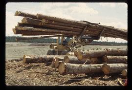
Image depicts a tractor with a claw lifting logs at a saw mill in Prince George, B.C.
Image depicts numerous logs that have been stripped of their bark at a saw mill in Prince George, B.C.
Image depicts what is possibly a train fueling station at the GTP Roundhouse in Prince George, B.C.
Image depicts a train in the GTP roundhouse in Prince George, B.C.
Image depicts the interior of the GTP roundhouse in Prince George, B.C.
Image depicts the interior of the GTP roundhouse in Prince George, B.C.
Image depicts a view of the Millar Addition suburb in Prince George, B.C.
File consists of music programs, brochures, and news clippings from performances in Prince George and Vanderhoof. Some of the concerts were organized by the Prince George and District Drama and Music Association, the Prince George Concert Association, the Prince George Concert Group, the Prince George Cantata Singers, Alaska Music Trail, Overture Concert Association, and the Nechako Community Arts Council.
Forest cover map showing a crossing area of the McGregor River is annotated with a road and ferry crossing.
Item consists of transcript of interview with Alex and Chris Muldowan discussing family history and Muldowan's involvement in forestry in North Central BC.
Harkins, BobMap depicts British Columbia in its entirety as-well as smaller subsequent maps of Vancouver, Victoria and Vicinity, Prince George, Kamloops, Nelson, and Vancouver Island.
Image depicts a view of Prince George from Gunn Point in the L.C. Gunn Park looking north. Map coordinates 53°54'26.2"N 122°43'35.8"W.
Image depicts a view of Prince George from Gunn Point in the L.C. Gunn Park looking north. Map coordinates 53°54'26.2"N 122°43'35.8"W.
Image depicts a view of Prince George from Gunn Point in the L.C. Gunn Park looking north. Map coordinates 53°54'26.2"N 122°43'35.8"W.
Image depicts a view of Prince George from Gunn Point in the L.C. Gunn Park looking north. Map coordinates 53°54'26.2"N 122°43'35.8"W.
Image depicts a view of Prince George from Gunn Point in the L.C. Gunn Park looking north. Map coordinates 53°54'26.2"N 122°43'35.8"W.
Image depicts a view of Prince George, from Gunn Point in the L.C. Gunn Park.
Image depicts the Canadian Forces Recruiting Centre on the north side of 3rd Ave in Prince George, B.C.
Image depicts an old, boarded up school in Island Cache, B.C.
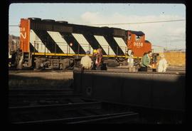
Image depicts a train and a group of unknown individuals at the GTP roundhouse in Prince George, B.C.
Image depicts the Grand Trunk Pacific railway roundhouse in Prince George, B.C.
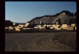
Image depicts numerous piles of wood planks at the Canadian National Railway Yards in Prince George, B.C. The cutbanks are seen in the background.
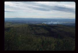
Image depicts a view of the landscape surrounding Tabor Mountain in Prince George, B.C.
Map depicts the city of Prince George with annotations of the boundary expansions from 1915 to 1964.


![Proposed Land Use 1978-2012, Official Community Plan, City of Prince George [1979 Amendment]](/uploads/r/northern-bc-archives-special-collections-1/c/e/d/ced2c18ae074ee79ace57d0454f038b5e09774ff682567e053093476af37c166/2023.5.1.14_-_1979_-_1978-2012_Official_Community_Plan_City_of_Prince_George_JPG85_tb_142.jpg)
