The David Davies Railway Collection encompasses all facets of railway history specifically in the province of British Columbia and the Yukon territory. The collection consists of research material accumulated over the course of more than fifty years, and includes monographs, periodicals, articles, clippings, railway timetables, photographs, maps and plans, and excerpts. Material covers public, tourist, and private (industrial) railways, including: CPR, KVR, E&N; CNR, CNoR, GTPR; and PGER, BCR. The collection excludes material regarding streetcar systems and rapid transit, but includes long distance electric interurbans.
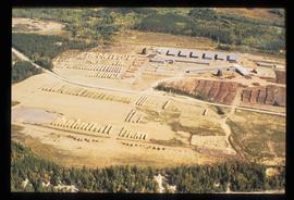
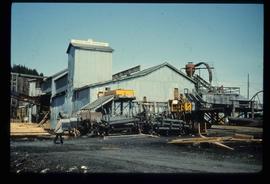
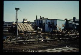
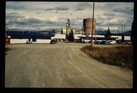
Image depicts a sawmill in the Danson Industrial Park in Prince George, B.C.
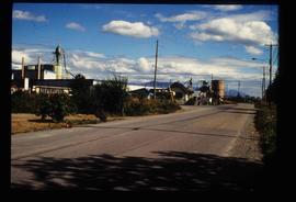
Image depicts the Carter Industrial Area in Prince George, B.C.
Image depicts a the Danson Industrial Park in Prince George, B.C.
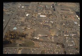
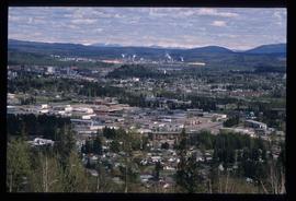
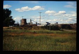
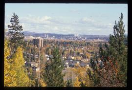
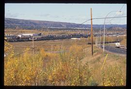
Image depicts Prince George from University Way, with the P.G.I pulp mill in the distance.
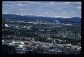
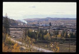
Image depicts Prince George from University Way, with the P.G.I. Pulp Mill in the distance.
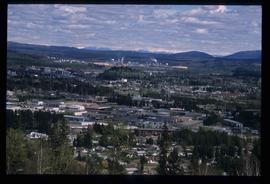
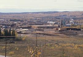
Image depicts Prince George from University Way, with the P.G.I. Pulp Mill in the distance.
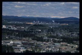
Image depicts Prince George from University Way, with the P.G.I. Pulp Mill in the distance.
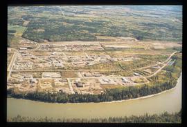
Image depicts the Northwood Pulpmill in Prince George, B.C. taken from above the Nechako River looking east. Map coordinates 53°56'00.0"N 122°44'29.7"W
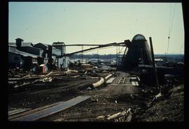
Image depicts a sawmill in Prince George, B.C.
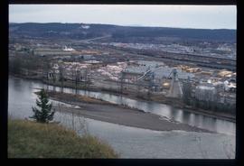
Image depicts Prince George Sawmill taken from across the Nechako River looking southwest. Map coordinates 53°56'00.0"N 122°44'29.7"W
Image depicts Prince George Sawmill taken from across the Nechako River looking southwest. Map coordinates 53°56'00.0"N 122°44'29.7"W
Image depicts the Giscome mill site in Giscome, B.C. The bunkhouse is the large building with many windows. A train and railroad tracks are in the foreground. Map coordinates 54°04'17.6"N 122°22'06.1"W
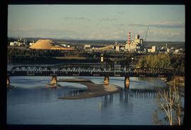
Image depicts the Prince George Sawmill from the Northwood Bridge.
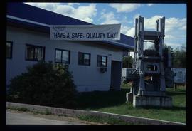
Image depicts the office at the Northwood Upper Fraser Saw Mill and a sign which reads "Have a safe, quality day." Map coordinates 54.117916, -121.943351
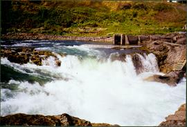
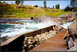
Photograph depicts white rapids at bottom of waterfall in Bulkley River, B.C. Fishing territory visible on far right; hill on opposite shore in background.
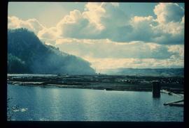
Image depicts numerous tree logs floating on a body of water. The location is uncertain, but is likely Eaglet Lake.
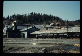
Image depicts the mill site at Giscome, B.C. Map coordinates 54°04'19.7"N 122°22'04.7"W
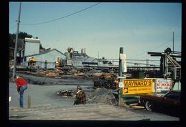
Image depicts the mill site at Giscome, B.C. A sign in the foreground reads "Maynard's Industrial Auctioneers." Map coordinates 54°04'19.7"N 122°22'04.7"W
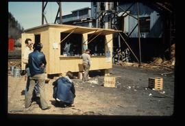
Image depicts a food stand at the mill site at Giscome, B.C. Map coordinates 54°04'19.7"N 122°22'04.7"W
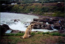
Photograph depicts dog seated on grass in foreground. Unidentified individuals visible below with fishing nets in waterfall area at Moricetown Canyon.
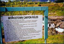
Photograph depicts sign in foreground outlining rules and restrictions for behaviour at Moricetown Canyon. Traditional fishing territory visible behind sign at waterfall in the Bulkley River, B.C. Highway and buildings can be seen in background.
Photograph depicts an unidentified individual standing on cliff above waterfall at Bulkley River, B.C. Fishing territory visible below; highway, buildings, and hills visible in background.
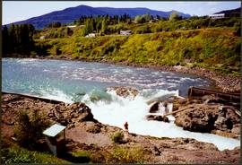
Photograph depicts fishing territory at waterfall rapids in Bulkley River, B.C. Highway and buildings on opposite shore in background.
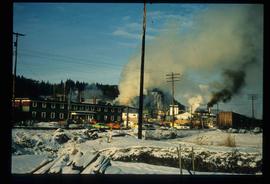
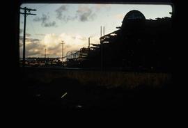
Image depicts Upper Fraser mill yard with log deck and beehive burner in silhouette across railroad tracks. Located in Upper Fraser, B.C. Map coordinates 54°07'01.5"N 121°56'29.6"W
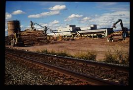
Image depicts numerous log decks at the Upper Fraser sawmill. Map coordinates 54°07'10.8"N 121°56'51.7"W
Image depicts the mill site at Giscome, B.C. Map coordinates 54°04'19.7"N 122°22'04.7"W
Image depicts the mill site at Giscome, B.C. Map coordinates 54°04'19.7"N 122°22'04.7"W
Image depicts the entrance to the Upper Fraser mill yard in Upper Fraser, B.C. Map coordinates 54°07'10.8"N 121°56'51.7"W
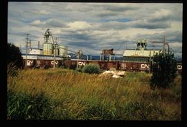
Image depicts the Upper Fraser mill yard with a CN train in Upper Fraser, B.C. Map coordinates 54°07'10.8"N 121°56'51.7"W
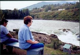
Photograph depicts Moran seated to right of woman on bench in foreground. Waterfall area at Moricetown Canyon can be seen below, behind booth labeled "MONITER BOOTH". Highway and houses visible on opposite shore in background.
Image depicts the entrance to the Upper Fraser mill yard in Upper Fraser, B.C. Map coordinates 54°07'10.8"N 121°56'51.7"W
Image depicts the Upper Fraser Road running through Upper Fraser, B.C. A newer style round burner is seen in the background. Map coordinates 54°07'05.7"N 121°56'38.9"W
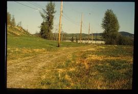
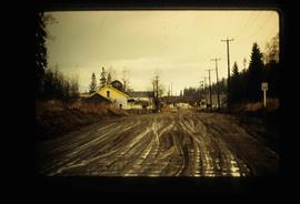
Image depicts the remains of a street of houses in Giscome, B.C. The quarry is slightly visible in the background. Map coordinates 54°04'20.9"N 122°21'53.1"W
Image depicts numerous buildings at an uncertain location. A beehive burner and what appears to be a large pile of wood is visible in the background.
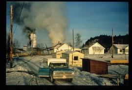
Image depicts several houses and the Giscome saw mill in Giscome, B.C. in the background. Map coordinates 54°04'20.9"N 122°21'53.1"W
Image depicts the mill site at Giscome and its beehive burner. Map coordinates 54°04'19.7"N 122°22'04.7"W
Image depicts two mills; the Intercontinental Pulp Mill is on the right in the foreground, and the Prince George Pulp and Paper Mill is on the left in the background. The picture is taken from the South, possibly off Yellowhead Bridge in Prince George, B.C.
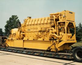
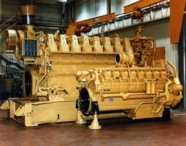
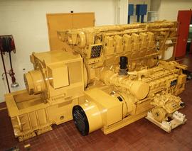
Photograph depicts large Caterpillar engine on flatbed. Road in foreground, trees in background. Accompanying note reads: "MTCE 4-01 (b) Cat 3612 Engine".
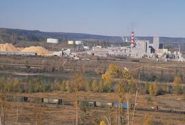
Image depicts the Northwood pulpmill in Prince George B.C.
Image depicts Prince George, possibly with the Northwood Pulpmill in the background.
Photograph depicts large Caterpillar engine in large shop with sheeted walls and brick floor. Accompanying note reads: "MTCE 4-01 (b) Cat 3612 Engine".
Photograph depicts large Caterpillar engine against painted brick wall in building with brick floor. Miscellaneous equipment in background. Accompanying note reads: "MTCE 4-01 (b) Cat 3612 Engine".
Image depicts the Northwood pulpmill in Prince George B.C.
Image depicts Prince George, possibly with the Northwood Pulpmill in the background.
Image depicts the Lakeland Sawmill in Prince George, B.C, identified by the beehive burners; the one with white smoke belonged to Pas Lumber Co. which was bought out by Lakeland in 1987.
Image depicts the Lakeland Sawmill in Prince George, B.C.
Image depicts the Northwood pulpmill in Prince George B.C.
Image depicts Prince George, possibly with the Northwood Pulpmill in the background.
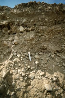
Photograph depicts close up view of gravel pit, ruler displayed for scale. Photograph speculated to have been taken at the plant or near the Cassiar airstrip. Stamped annotation on recto of photograph: "JUN. 1987".
