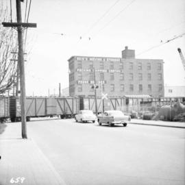
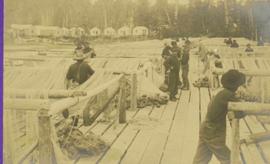
2013.6.36.1.003.056
·
Item
·
[July 1965]
Part of David Davies Railway Collection
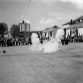
Photograph depicts the upper end of Coal Harbour, on the south shore looking southwest and taken from the dock of the Vancouver Shipyards Ltd.