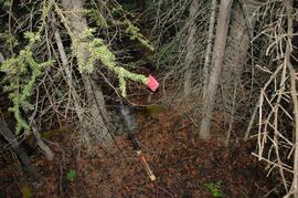
File consists of an original and photocopied maps collected by Grant Hazelwood primarily in conjunction with work for the Upper Nass Assessment Project. The majority consist of Canadian National Topographic System (NTS) maps annotated with draft biophysical mapping, collected species inventory data, area boundaries, or other information for the project.
File consists of an original reproduction of a map entitled "Spatsizi Provincial Park Key Map" by BC Parks.
File consists of an original reproduction of a map entitled "Impact of Kemano Expansion on Gitksan-Wet'suwet'en Fishery". The map depicts salmon spawning areas, hydroelectric structures (Kenney Dam, Kemano powerhouse, etc), and Gitksan-Wet'suwet'en communities (Gitwangak, Kitseguecla, Gitanmaax, Hagwilget, Moricetown). Includes notable impacts and Indigenous place names for rivers, creeks, and lakes.
File consists notes, correspondence, summary reports, inventory data, and a map regarding capability classification for Bowser Lake. The map is a "clean copy" of Grant Hazelwood's ungulate biophysical map without symbols. Summary reports include:
- Grant Hazelwood, "Ungulate Capability Classification"
- Grant Hazelwood, "Winter Flights, February 1986"
- "Ungulate Biophysical Mapping in the Stikine-Iskut Area"
File consists of a photocopied "Preliminary Environmental Assessment of Corridor Alternatives for the Proposed Mount Klappan Coal Project". Includes accompanying memoranda regarding the report.
File consists of a photocopied report by BC Ministry of Environment wildlife habitat biologist Dan Blower entitled "Preliminary Wildlife Assessment of Klappan Coal Road Alternatives" from April 19, 1985.
File consists of an original "Mount Klappan Access Road Study" proposal for consulting services to the BC Ministry of Industry and Small Business Development by Phillips Barratt Kaiser Engineering Ltd. in association with Associated Engineering (B.C.) Ltd.
File consists of an original "Mount Klappan Anthracite Project" document by Gulf Canada Resources Ltd. Includes accompanying map entitled "Gulf Canada Resources Inc.: Northwest British Columbia" that shows proposed coal mine sites in the Mount Klappan area, near Spatsizi Wilderness Park and Tatlatui Provincial Park.
File consists of a copy of "Preliminary Environmental Assessment of Railway Corridor Options to Service Mount Klappan Coal Project and the Northwest Region of British Columbia" (1984) by the Industrial and Energy Project Evaluation Section, Planning and Assessment Branch of the BC Ministry of Environment.
File consists of an original copy of the "Task Force on Northwest Economic Development Opportunities - Environmental Overview - Technical Background Report" from October 1983. Also includes an accompanying memoranda note from 1984 regarding the report.
File consists of Grant Hazelwood's notes and collected correspondence created in conjunction with the BC Ministry of Environment's "Upper Nass Assessment Project", a project that included the biophysical mapping of the Northwest-Klappan Road Access Area. Includes a summary document entitled "Klappan Access Road Project - Wildlife Component", as well as Hazelwood's handwritten species inventory notes.
File consists of project planning documents for the BC Ministry of Environment's "Upper Nass Assessment Project", a project that included the biophysical mapping of the Northwest-Klappan Road Access Area. Grant Hazelwood (Alpenglow Resources) was hired as the wildlife biologist for to undertake this project work. Includes Hazelwood's employment information for the project, project terms of reference, and a project summary.
Series consists of records created and collected by Grant Hazelwood for the BC Ministry of Environment's "Upper Nass Assessment Project", a project that included the biophysical mapping of the Northwest-Klappan Road Access Area. Grant Hazelwood (Alpenglow Resources) was hired as the wildlife biologist for to undertake project work.
File consists of the a reproduction of the Kalum Forest District SBFEP Forest Development Plan, 1997-2001. Includes accompanying correspondence and memoranda regarding the plan. Also includes two maps associated with the plan, "Kalum Forest District Small Business Forest Enterprise Program, 1997-2001 Forest Development Plan - West Nass (Upper Harper)" and "Kalum Forest District Small Business Forest Enterprise Program, 1997-2001 Forest Development Plan - West Nass (Lower Harper)". These maps are believed to have been annotated by Hazelwood to show Tailed Frogs habitat areas.
File consists of the original version a report prepared by Grant Hazelwood for the BC Ministry of Forests entitled "Biological Investigation Report - Gosling Creek" regarding the presence of Tailed Frogs in the area.
File consists of the original version a report prepared by Grant Hazelwood for the BC Conservation Officer Service entitled "Documentation of 'Noname Creek' [Station 13 + 500] on Fiddler Mainline forest road as suitable habitat for supporting Tailed Frogs [Ascaphus truei], a Blue Listed species in British Columbia".
File consists of the original version of "Extending the Known Range of Tailed Frog Populations in British Columbia" by Grant Hazelwood. Includes original print photographs adhered into the report.
File consists of an original draft version of "Sampling Techniques for the Tailed Frog and the Pacific Giant Salamander" prepared by Tom Ethier, Wildlife Branch, Ministry of Environment, Lands and Parks.
File consists of a photocopy of a 1996 report by Pacific Cascade Consultants Ltd. entitled "Tailed Frog Habitat and Population Monitoring - Year 3 - 1996" prepared for BC Ministry of Forests Kalum District.
Series consists of records created and collected by wildlife biologist Grant Hazelwood in relation to his Tailed Frog (Ascaphus truei) research.
Fonds consists of material created and collected by wildlife biologist Grant Hazelwood in relation to his work and research regarding wildlife, habitat, and wilderness parks. Includes material regarding Hazelwood's Tailed Frog (Ascaphus truei) research. Also includes records regarding his contracted biologist work via his consultancy business, Alpenglow Resources, on the BC Ministry of Environment's "Upper Nass Assessment Project", a project that included the biophysical mapping of the Northwest-Klappan Road Access Area.
Sem títuloFile contains the following data sets:
- Phytolith contents.xls [phytolith content in 5-20 µm silt, tallied by morphological categories; also summarized as % of total soil fine (< 2 mm) fraction]
- M-K (2001) soil LOI data.pdf [LOI (loss-on-ignition) data for sampled soil horizons – proxy measurement for organic matter content]
Document prepared by P. Grilz contains species lists and UTM coordinates for 10 sampling locations for the M-K-2001-2002-81 Seed Project.
This 2002 Sanborn & Grilz phytolith report to the M-K Trust Fund presents research results, compiles data, and includes site descriptions and photographs.
Map depicts range reference area exclosure locations for livestock and wildlife in the Fort St. John Forest District.
With support from the Muskwa-Kechika Trust Fund as a Seed Grant, Dr. Paul Sanborn carried out a pilot study of soils in relation to prescribed burning in the Northern Rocky Mountains, in collaboration with Perry Grilz, then a Range Officer in the Ministry of Forests. Sanborn and Grilz conducted 3 days of field work in July 2001. Sanborn wanted to test the utility of plant-derived opal (phytoliths) as a soil indicator of vegetation history, in the hope of distinguishing natural grasslands from those created by anthropogenic burning.
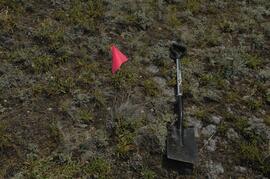
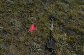
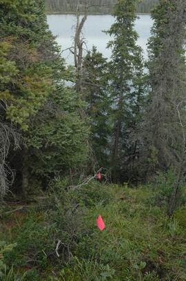
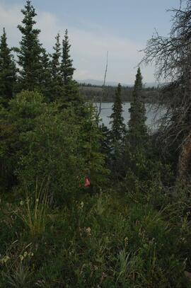
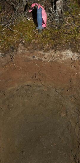
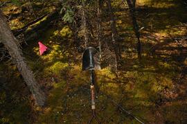
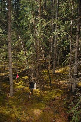
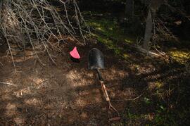
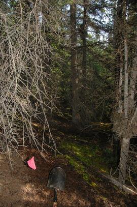
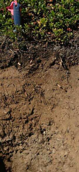
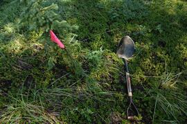
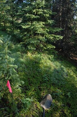
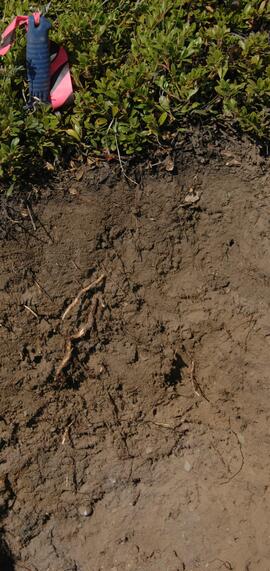
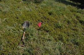
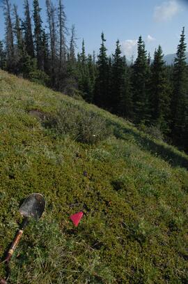
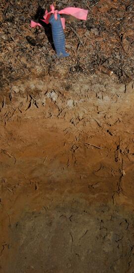
Photograph depicts a Kluane Lake transect 3 location.
Photograph depicts a Kluane Lake transect 3 location.
Photograph depicts a Kluane Lake transect 3 location.
Photograph depicts a Kluane Lake transect 3 location.
Photograph depicts a Kluane Lake transect 3 location.
Photograph depicts a Kluane Lake transect 3 location.
Photograph depicts a Kluane Lake transect 3 location.
Photograph depicts a Kluane Lake transect 3 location.
Photograph depicts a Kluane Lake transect 3 location.
Photograph depicts a Kluane Lake transect 3 location.
Photograph depicts a Kluane Lake transect 3 location.
Photograph depicts a Kluane Lake transect 3 location.
Photograph depicts a Kluane Lake transect 3 location.
Photograph depicts a Kluane Lake transect 3 location.
Photograph depicts a Kluane Lake transect 3 location.
Photograph depicts a Kluane Lake transect 3 location.
Photograph depicts a Kluane Lake transect 3 location.
Photograph depicts a Kluane Lake transect 3 location.
Photograph depicts a Kluane Lake transect 3 location.
Photograph depicts a Kluane Lake transect 3 location.
Photograph depicts a Kluane Lake transect 3 location.
Photograph depicts a Kluane Lake transect 3 location.
