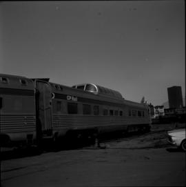
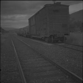
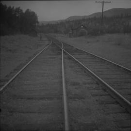
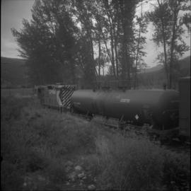
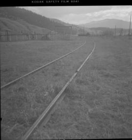
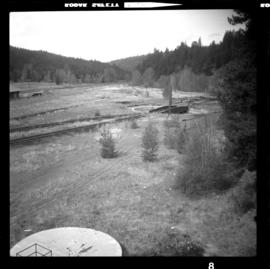
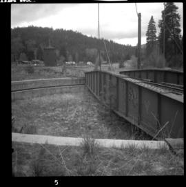
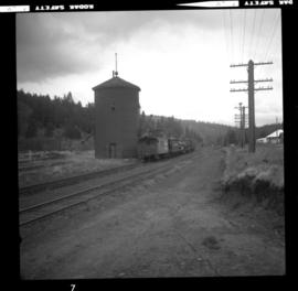
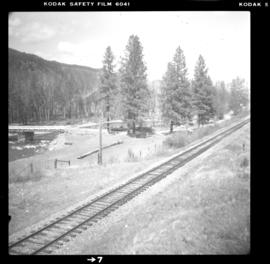
Photograph depicts the CPR False Creek yards in Vancouver. Turning the "Canadian" on a 180 degree loop.
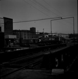
Photograph depicts the CPR False Creek yards in Vancouver. The view is looking northeast with the roundhouse immediately behind the camera. The switcher is moving on 180 degree loop.
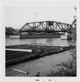
Photograph depicts the B.C. Electric rail bridge crossing the north section of the north arm of the Fraser River from Vancouver to Mitchell Island. The span is always kept open except for rail traffic.
File consists of documentary photographs taken by David Davies of the CP Main Line in all areas, except Vancouver, in British Columbia.
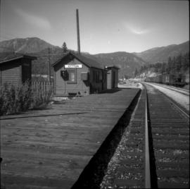
Photograph depicts the Lytton CPR depot in the Fraser Valley. The view is looking north and upgrade.
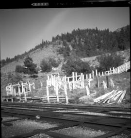
Photograph depicts the crumbling CPR stock yard at Lytton in the Fraser Valley.
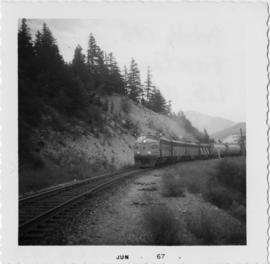
Photograph depicts the CPR probably in the Fraser Canyon.
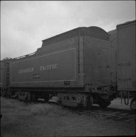
Photograph depicts CPR tender #415819 at Revelstoke. A painted notice had a date 1956 but otherwise there was no info as to its origins. The use is unknown.
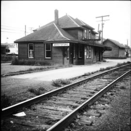
Photograph depicts the Abbotsford CPR depot. It was built circa 1910-1914 and was the second depot built by the CPR in the town. It is at mile 6.7 on the the Huntingdon branch from Mission City. It was last used for passenger traffic in October 1959. It is No.5 standard design CPR depot.
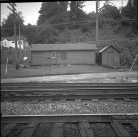
Photograph depicts small buildings sited on the north side of the tracks and just west of the Mission City CPR depot. They are all in use and well cared for.
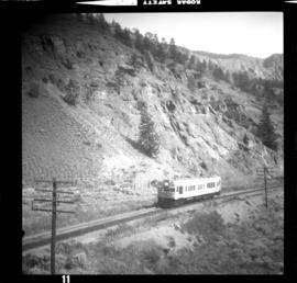
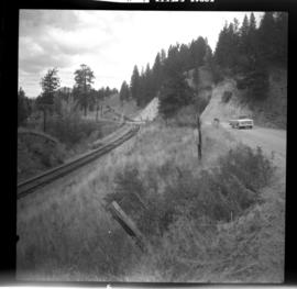
Photograph depicts the CPR line 3 miles south of Spences Bridge at road overpass. There is a Sperry rail fault detection car moving steadily up the grade at about 30mph. It did not stop at Spences Bridge. The view is looking south, downhill.
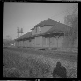
Photograph depicts the CPR depot at Chase, which is no longer in use.
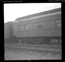
Photograph depicts an old CPR passenger car at Salmon Arm. It is now in work service as #41645.
Photograph depicts a view of the CPR mainline and siding at Salmon Arm. The view is looking east but the photo was taken from west of the depot. A work train was stored on the siding/spur behind the camera, protected by a metal flag.
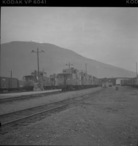
Photograph depicts a line of cabooses on the caboose track at Revelstoke. There are rumours that the vehicles are to become obsolete by replacing them with a monitoring device attached to the last car of a train.
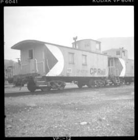
Photograph depicts CPR caboose #437149 at Revelstoke. It was built in June 1945 and is made of wood, which is a rarity because most cabooses are now all metal. It was used for work trains, but certainly not for main line regular freight workings.
Photograph depicts the CPR line at Notch Hill in the Shuswap. At one time this was a busy place, as helper engines were stationed here to push heavy trains over the hill. This spur is on the north side of the depot and has rails from 1902. The view is looking west, depicting the mainline to the left and just in view.
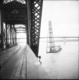
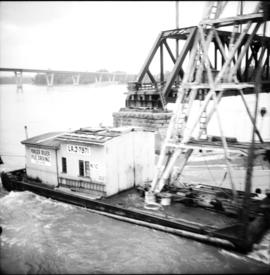
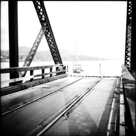
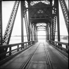
Photograph depicts the CPR Mission Bridge on the Huntingdon branch. The photo was taken from the open swing span looking downstream, with a tug and derrick (Fraser River Pile Driving Co.) fast disappearing downstream. The new road bridge in the background is about to be opened in late June 1973.
Photograph depicts the CPR Mission Bride on the Huntingdon branch. The photo was taken from the open swing, and shows a tug and derrick passing swiftly downstream in the north channel of the opening. The span opens about every 2 or 3 days for river traffic.
Photograph depicts the CPR Mission Bridge on the Huntingdon branch. The span opened to allow downstream passage of a tug and derrick, which passed at about 6 to 8 knots because of the freshet. Tow started at federal wharf at Mission City. The span opens for river traffic every 2 or 3 days. The view is looking east and upstream.
Photograph depicts the CPR Mission Bridge on the Huntingdon branch. The swing span is in an open position and the view is looking west and downstream. A new road bridge to be opened within the month is in the background. The bridge cabin holds a gas engine that turns the span in about 60 seconds.
File consists of documentary photographs taken by David Davies of the CPR branch from Sicamous to Vernon in British Columbia.
Photograph depicts the CPR line at Mara, which is at mile 12.6 on the Okanagan Subdivision of the CPR. Sicamous is considered mile 0 and Vernon is considered mile 46.2. The siding has capacity for 57 cars. The view is just south of Mara Lake and looking north.
File consists of documentary photographs taken by David Davies of the CPR branch from Merritt/Nicola in British Columbia.
Photograph depicts a CPR Dot passing loop at mile 20.3 from Spences Bridge to Merritt. It shows the remains of a water tower and station house. The view is looking west.
Photograph depicts the CPR way freight about 1 mile west of Dot (mile 20.3 from Spences Bridge) on the Spences Bridge-Merritt line, travelling east. There are about 20 cars in the train.
Photograph depicts the CPR Nicola branch at Nicola terminus, 7 miles east of Merritt. The view is looking west and about 100 yards behind the camera is the end of the rail.
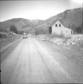
Photograph depicts the site of the Coquihalla Summit depot (3,656 ft.) on the ex CPR Coquihalla Line of the Kettle Valley Railway. The only existing building of any size on the whole line(50 miles), also appears in this photo. The steel laid from the north to this point was laid in 1913/1914 and connected to Hope in 1916, The rails service was discontinued in November 1959 and the track lifted in 1962. The line climbs 36.3 miles from Hope at an average grade of 1 in 55.
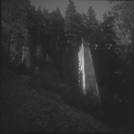
Photograph depicts an abandoned bridge on the former Coquihalla to Brookmere rail line. This view is about 10 miles northeast of Hope.
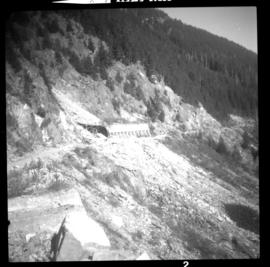
Photograph depicts the ex CPR Coquihalla Line, looking northeast between Iago and Romeo depots, at about mile 29 from Brookmere. The tunnel was built of concrete and the west end was blocked by a rock fall in 1971. The grade is now used by auto traffic, which is about 20-50 cars per day in summer weekends. The grade at this point is 1 in 49.
File consists of documentary photographs taken by David Davies of the CP Kettle Valley Railway from Merritt to Princeton in British Columbia.
Photograph depicts the CPR rail line at Brookmere, 30 miles south of Merritt. The view is looking north, taken with back to a three stall engine roundhouse, which had been crudely dismantled. A boarded up depot lies about 150 yards to the left of the photo. Brookmere was once a thriving railway town, accessible only by rail. Some of the rail noted was Algoma stall, 85 lbs., and dated to 1910 and 1913.
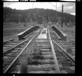
Photograph depicts the CPR rail line at Brookmere, 30 miles south of Merritt. It shows a general view of the yard. The corner of the depot can be seen at the extreme right edge. Beyond the turntable lies the site of a demolished 3 stall engine house. Most of the yard has been abandoned, with on attempt to clean up the trackage. The photo look south.
Photograph depicts the CPR line at Brookmere, 30 miles south of Merritt. It is a general view of the abandoned yards. The yards were built on a small amount of flat land available right at the summit. A 1956 schedule shows it was quite a busy place; the eastbound passenger train passed through at 0250 hrs. and the westbound at 0425 hrs., via Hope not Merritt. The view is looking north.
Photograph depicts a Princeton bound freight train passing the old CPR station at Brookmere, located at 30 miles south of Merritt. The freight is passing the summit between Spences Bridge and Princeton. It consisted of 4 locomotives and 38 cars (mainly chip cars). At one time Brookmere was a thriving substation divisional point in the middle of nowhere. Now it is a passing loop to hold 64 cars.
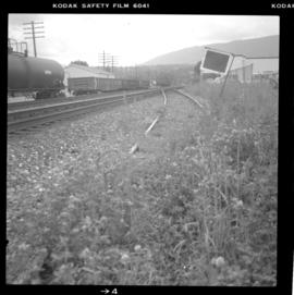
Photograph depicts the CPR line at about mile 50.5 on the Merritt Subdivision. It is south of Glenwalker and south of Merritt. It carries three freights per week. Monday, Wednesday, and Friday is northbound, and Tuesday, Thursday, Saturday is southbound.
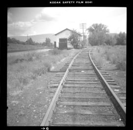
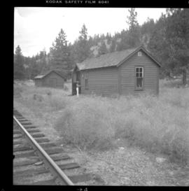
Photograph depicts the CPR line at mile 49.2 on the Merritt Substation. This is the site of the Glenwalker depot. The view is looking north.
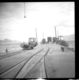
Photograph depicts a CNR slip in Penticton on Okanagan Lake. It shows a general view of the slip and unloading operations, plus a road and rail tractor.
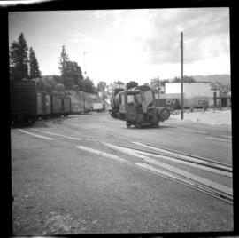
Photograph depicts a CNR slip in Penticton on Okanagan Lake. It shows a general view of the sidings leading from the barge slip . The tractor could move two cars on the level, but did not move cars to and from the barge. The winch was used to pull all cars, including tank cars, onto the barge.
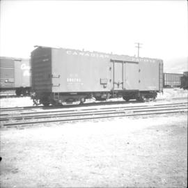
Photograph depicts an all steel refrigerated car in the CPR yard in Penticton.
Photograph depicts the West Summerland CPR station in the Okanagan. The station often was used but not permanently manned. It was located at mile 9.5 from Penticton. The view is looking south.
Photograph depicts the West Summerland CPR station in the Okanagan, located 9.5 miles from Penticton. The cloud in the middle distance is stone dust from a crusher on the east side of the track. The spur to the right leads to an old crusher but does not appear to be used.
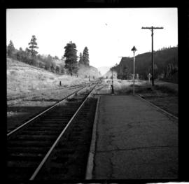
Photograph depicts the CPR line approximately 1 mile south of Belfort depot and 4 miles north of Princeton. The view is looking north.
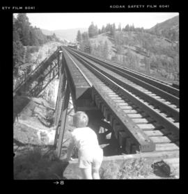
Photograph depicts the Trout Creek CPR bridge near Summerland, about 9 miles north of Penticton. It is about 620 ft. long and the creek is 240 ft. below it. It was part of the Kettle Valley Railway.
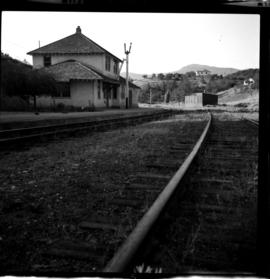
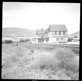
Photograph depicts the Penticton CPR depot. The view is looking northwest.
Photograph depicts the CPR Faulder depot on the Kettle Valley Railway. It is located at mile 15.5 from Penticton, on the Princeton Subdivision.
File consists of documentary photographs taken by David Davies of the CPR Osoyoos branch in British Columbia.
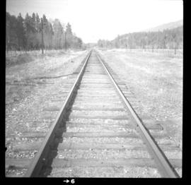
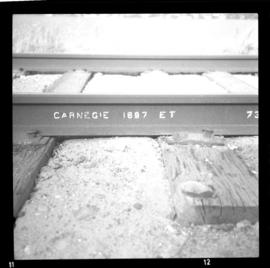
Photograph depicts the rail on the CPR line near Okanagan Falls, within a quarter mile of the Okanagan Falls depots to the north. The rail is on the main line of the branch and is in daily use. It is located at approximately mile 10.2 from Penticton.
File consists of documentary photographs taken by David Davies of the CP Kettle Valley Railway from Penticton to McCulloch in British Columbia.
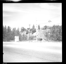
Photograph depicts CPR line crossing Government St. in Penticton. This section is in the Carmi Subdivision and at about mile 132.2 or close to the east Penticton depot. Note the crossing signals swung out. The view is looking north.
