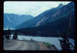
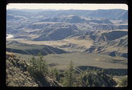
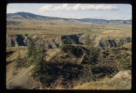
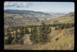
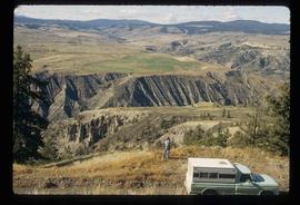
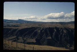
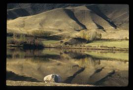
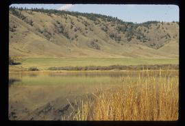
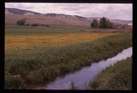
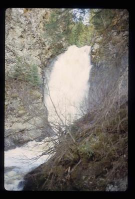
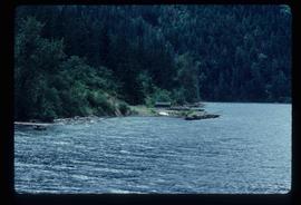
Image depicts the Hixon Falls in Hixon, B.C.
Image depicts the Crosina Store at 153 Mile House.
Image depicts a man named Dan Bashaw holding a sandwich and a cup of coffee at an uncertain location.
Image depicts what is possibly the Fraser River.
Image depicts what appears to be a small ranch. The slide is labelled "Becher's Prairie," possibly meaning Becher's Prairie Provincial Park in B.C.
Image depicts the main street of Prince Rupert, B.C.
Image depicts a small shack on the shore of a lake near Seton Portage; it is likely either Anderson or Seton Lake.
Image depicts a view of Seton Portage in the trees, located between the two lakes, Seton and Anderson.
Image depicts a view of the area surrounding Seton Portage, B.C. Seton and Anderson Lake are both visible, with what is possibly either Seton Portage or Nosebag mountain also present.
Image depicts a view of Anderson Lake near Seton Portage, B.C. A vehicle on a mountain road is also visible.
Image depicts a vehicle on a bridge somewhere near Anderson Lake in the Seton Portage area.
Image depicts a road with what appears to be a junkyard to the right of the image, likely located somewhere in Seton Portage, B.C.
Image depicts the side of a train and the tracks it is on, as well as a small section of what is either Seton or Anderson Lake near Seton Portage, B.C.
Image depicts St. Mark's Anglican Church in Woodpecker, B.C.
Image depicts a shack in Woodpecker, B.C. The previous slide of the same building is labelled "seed plant" for unknown reasons.
Image depicts the Mount Robson Ranch.
Image depicts an old gas pump at the Mount Robson Ranch.
Image depicts the Mount Robson Ranch.
Image depicts a boarded up church in Shelley, B.C.
Image depicts a section of the boarded up church at Shelley, prior to its restoration.
Image depicts a small section of the boarded up church in Shelley, B.C.
Image depicts the Gang Ranch office.
Image depicts the Gang Ranch house.
Image depicts the general store and post office on Gang Ranch.
Image depicts an area of hill at Gang Ranch.
Image depicts a fence and the property of the Gang Ranch.
Image depicts a view of the upper Fraser Canyon.
Image depicts a view of the eastern part of the upper Fraser Canyon.
Image depicts a view of the upper Fraser Canyon.
Image depicts a field north of Dog Creek in the upper Fraser Canyon.
Image depicts the grave of W.L. Meason in the upper Fraser Canyon.
Image depicts the Fraser River in the upper Fraser Canyon.
Image depicts the Fraser River, and a sign pointing towards Gang Ranch, in the Upper Fraser Canyon.
Image depicts the Fraser River, and a sign pointing towards Gang Ranch with an unknown individual hugging it, in the Upper Fraser Canyon.
Image depicts Gang Ranch in the Upper Fraser Canyon.
Image depicts the Gang Ranch House in the Upper Fraser Canyon.
Image depicts a stream and field at Gang Ranch in the Upper Fraser Canyon.
Image depicts a view of the Upper Fraser Canyon.
Image depicts the Fraser River near Lillooet, B.C.
Image depicts a train in an uncertain location.
Image depicts the inside of a mine with an unknown individual present. It is possibly the inside of the closed Britannia Mine.
Image depicts a number of old buildings, possibly located at the closed Britannia Mine.
Image depicts an old building, possibly located at the closed Britannia Mine.
Image depicts a view of Nairn Falls Provincial Park.
Image depicts a farm at an uncertain location.
Image depicts a river on the left of the image and a range of mountains in the distance, located somewhere near Bralorne, B.C.