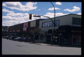
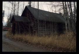
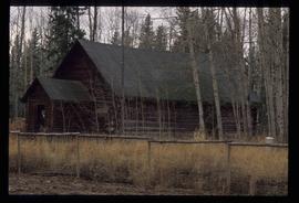
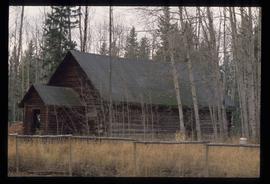
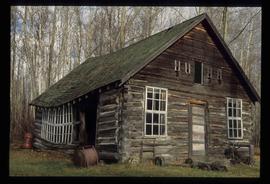
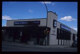
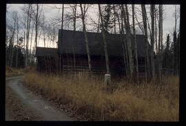
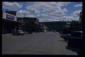
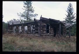
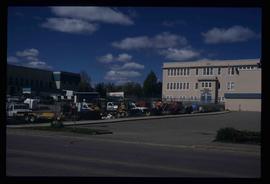
Print preview Close

Showing 3026 results

Archival description
City Hall
2012.13.1.3.165 · Stuk · May 2001
Part of J. Kent Sedgwick fonds

Image depicts Prince George City Hall. Map coordinates 53°54'46.3"N 122°44'41.9"W

2012.13.1.3.166 · Stuk · May 2001
Part of J. Kent Sedgwick fonds

Image depicts a view of Prince George from City Hall looking northeast along George Street. Includes a back view of the Prince George cenotaph. Map coordinates 53°54'46.3"N 122°44'41.9"W

PGE Grade - View South
2012.13.1.41.03 · Stuk · 2001
Part of J. Kent Sedgwick fonds

Image depicts a view of the south direction of the grade for the British Columbia Railway, which was formerly known as the Pacific Great Eastern until 1972. It is at an uncertain location, possibly near Woodpecker or Prince George.

3rd Avenue
2012.13.1.7.222 · Stuk · May 2001
Part of J. Kent Sedgwick fonds

Image depicts a view of 3rd Avenue with the Columbus Hotel prior to the fire that destroyed it in 2008.

Third Avenue
2012.13.1.3.161 · Stuk · May 2001
Part of J. Kent Sedgwick fonds

Image depicts 3rd Ave in Prince George, B.C. Map coordinates 53°55'01.9"N 122°44'48.7"W

Highway 97
2012.13.1.3.164 · Stuk · May 2001
Part of J. Kent Sedgwick fonds

Image depicts a section of Highway 97 looking south. Map coordinates 53°55'10.3"N 122°46'54.9"W

King George V School
2012.13.1.7.213 · Stuk · May 2001
Part of J. Kent Sedgwick fonds

Image depicts the King George V School in Prince George, which was demolished sometime around 2006 and Duchess Park Secondary School was built in its place.

Two Small Sheds
2012.13.1.89.177 · Stuk · 2001
Part of J. Kent Sedgwick fonds

Image depicts two small sheds at an uncertain location. The slide labels them as "Giscome bldgs in Blackburn."

Paddlewheel Park
2012.13.1.7.202 · Stuk · Nov. 2000
Part of J. Kent Sedgwick fonds

Image depicts the Fraser River at Paddlewheel park, with a train on the other side of the river, in Prince George B.C.