2012.13.1.6.277
·
Pièce
·
[2006?]
Fait partie de J. Kent Sedgwick fonds
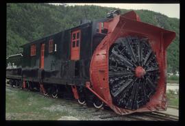
Image depicts a train track and several buildings in an unknown location.