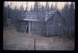
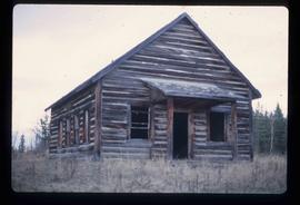
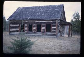
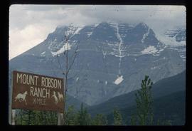
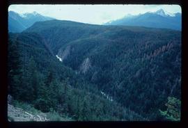
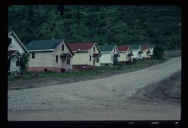
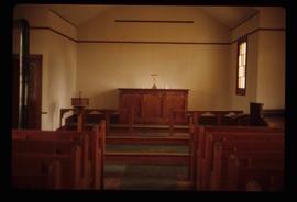
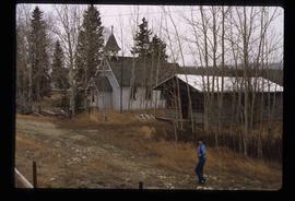
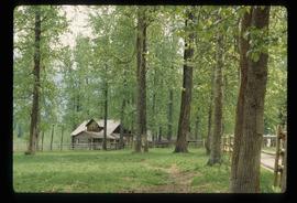
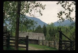
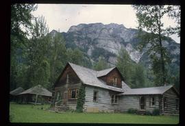
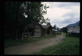
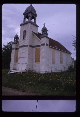
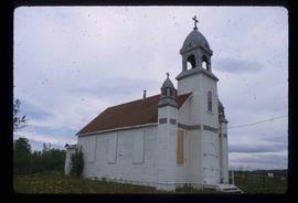
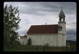
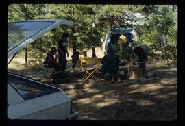
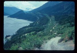
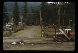
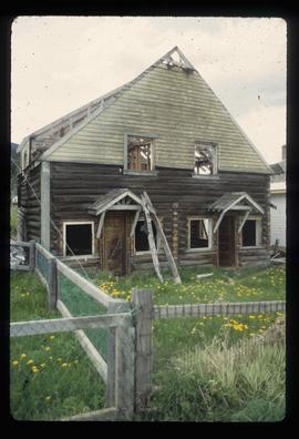
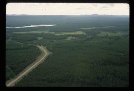
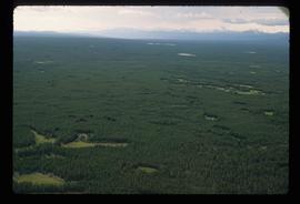
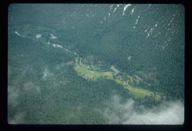
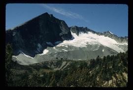
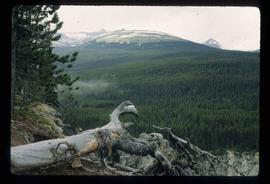
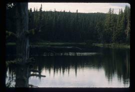
File contains slides depicting locations in and around Bralorne, B.C.
Image depicts the Terzaghi Dam on the Bridge River, looking from the upstream (reservoir) side located near Bralorne, B.C. The water is Carpenter Lake.
Image depicts an elevated view of a lake and a road located somewhere near Bralorne, B.C.
Image depicts a dirt road leading through a forest.
Image depicts a river running through a valley-like area somewhere near Bralorne, B.C.
Image depicts a river full of logs, somewhere near Bralorne, B.C.
Image depicts the Bridge River No. 1 hydroelectric station on the shore of Seton Lake (rear side of powerhouse).
Image depicts the Lajoie Dam on the Bridge River, upstream side, showing part of Downton Lake and, in the foreground, the spillway intake.
Image depicts a view of the land surrounding Bralorne, B.C.
Image depicts what appears to be a motel somewhere near Bralorne, B.C.
Image depicts a row of houses in Bralorne, B.C.
Image depicts a fence in the Blackwater River area in the Chilcotin.
Image depicts the interior of a church, most likely St. Mark's Anglican Church in Woodpecker, B.C.
Image depicts the St. Mark's Anglican Church and a small house in Woodpecker, B.C. There is an unknown individual present.
Image depicts a farm likely in Woodpecker, B.C.
Image depicts a set of train tracks, a farmhouse, and some fields; possibly in Woodpecker, B.C.
Image depicts a shack in Woodpecker, B.C. The slide itself is labelled "seed plant" for unknown reasons.
Image depicts the old Woodpecker School.
Image depicts Mount Robson while en route to Mount Robson Ranch in B.C.
Image depicts the Mount Robson Ranch.
File contains slides depicting Runnalls.
Image depicts a boarded up church in Shelley, B.C.
Image depicts a group of unknown individuals sitting around a camp fire at an uncertain location.
File contains slides depicting Nanaimo and the Pacific Rim.
Image depicts a view of Prince Rupert, B.C.
Image depicts the Pride O' the North shopping mall in Prince Rupert, B.C.
Image depicts numerous houses in Prince Rupert, B.C.
Image depicts a small stream running through a cluster of trees somewhere in or around Seton Portage, B.C.
Image depicts a church on a hill somewhere in Seton Portage, B.C.
Image depicts a steep mountain road somewhere in the area of Seton Portage, B.C.
Image depicts power lines running alongside Anderson Lake near Seton Portage, B.C.
Image depicts numerous houses and a tractor in Seton Portage, B.C.
Image depicts an old and abandoned duplex somewhere in Wells, B.C.
Image depicts the abandoned and crumbling Forman's General Store somewhere in or near either Barkerville or Wells, B.C.
Image depicts an old pool hall somewhere in Wells, B.C.
Image depicts the original bank building in Wells, B.C.
Image depicts Wells, B.C.
Image depicts an aerial view of South Tweedsmuir Provincial Park.
Image depicts an aerial view of Glacier Mountain in South Tweedsmuir Provincial Park.
Image depicts a view of South Tweedsmuir Provincial Park.
Image depicts a lake in South Tweedsmuir Provincial Park.