2008.2.1.14
·
Pièce
·
1 February 1928
Fait partie de Northern BC Cartographic Collection
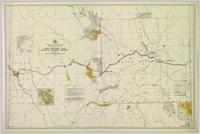
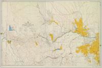
Colour-coded topographic map depicting lands surveyed as alienated, reserved, or open to preemption. Depicts land districts, land recording divisions, communities, bodies of water, communication lines, and transport routes.

