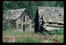
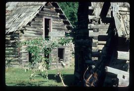
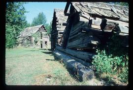
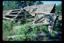
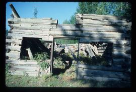
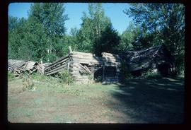
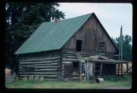
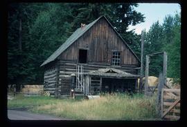
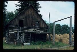
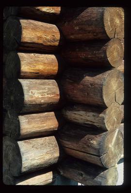
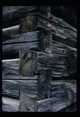
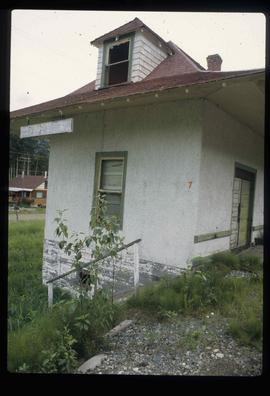
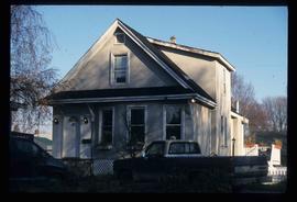
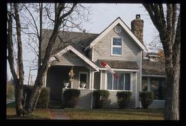
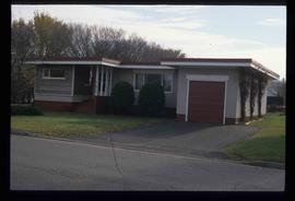
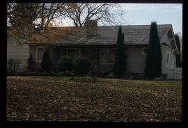
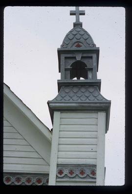
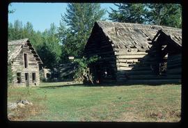
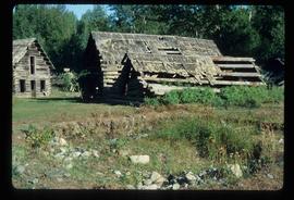
Image depicts a small section of the boarded up church in Shelley, B.C.
Image depicts several unknown individuals standing on the old Kettle Valley Rail Road.
Image depicts a man standing on the old Kettle Valley Rail Road.
Image depicts a woman standing on the old Kettle Valley Rail Road.
Image depicts the old Kettle Valley Rail Road.
Image depicts the trail of the old Kettle Valley Rail Road.
Image depicts a woman walking along the trail of the Kettle Valley Rail Road.
Image depicts a woman walking along a trail somewhere in Kettle Valley, B.C.
Image depicts a view of Kettle Valley, with a bridge of the old Kettle Valley Rail Road visible on a slope.
Image depicts a small, ruined shed somewhere in the Okanagan Kettle Valley.
Image depicts Kent Sedgwick standing in front of a sign with a dog in Quesnelle Forks, B.C. The sign describes the history of the site, which began as a mining camp in 1859, but was later completely abandoned after a fire in 1866. It is now managed as a Forest Service Recreation Project.
Image depicts several abandoned and collapsing cabins in Quesnelle Forks, B.C.
Image depicts a collapsed cabin in Quesnelle Forks, B.C.
Image depicts several abandoned and collapsing cabins in Quesnelle Forks, B.C.
Image depicts a horse near a camper somewhere in Quesnelle Forks, B.C.
Image depicts several horses near a camper somewhere in Quesnelle Forks, B.C.
Image depicts an old, abandoned log house somewhere in Quesnelle Forks, B.C.
Image depicts 1598 Fir Street in Prince George, B.C.
Image depicts the GTP roundhouse in Prince George, B.C.
Image depicts what is possibly a train fuelling station at the GTP Roundhouse in Prince George, B.C.
Image depicts the corner of a log house at an unknown location.
Image depicts a cabin at an unknown location.
Image depicts the corner of a log house, the slide itself labels the picture as being from Barkerville, B.C. and also indicates the corner is an example of a "round log" dovetail joint.
Image depicts the old Dunster Station in Dunster, B.C.
Image depicts an old Swedish style house somewhere in the Pineview subdivision in Prince George, B.C.
Image depicts Ash Street and Patricia Boulevard in Prince George, B.C.
Image depicts 135 Patricia Boulevard in Prince George, B.C.
Image depicts 1354 Ingledew Street in Prince George, B.C.
Image depicts 1386 Ingledew Street in Prince George, B.C.
Image depicts 1488 Gorse Street in Prince George, B.C.
Image depicts 1590 Fir Street in Prince George, B.C.
Image depicts 1532 Fir Street in Prince George, B.C.
Image depicts 1480 Birch Street in Prince George, B.C.
Image depicts 1566 Ingledew Street in Prince George, B.C.
Image depicts 1510 Fir Street in Prince George, B.C.
Image depicts a property given to the Veterans of the Second World War, located on the corner of 15th Avenue and Elm Street in Prince George, B.C.
Image depicts 411 Patricia Boulevard in Prince George, B.C.
Image depicts 1425 Taylor Drive in Prince George, B.C.