2012.13.1.84.28
·
Item
·
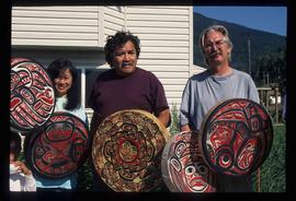
1994
Parte de J. Kent Sedgwick fonds
Image depicts several unidentified individuals standing outside a building, and holding intricately painted drums. The location is uncertain.