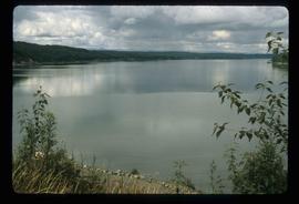
Image depicts Eaglet Lake, north-east of Prince George, B.C.
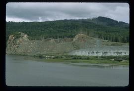
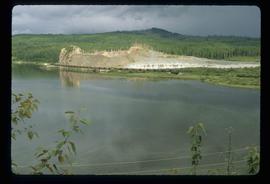
Image depicts the site of Giscome's first quarry, with Eaglet Lake located in the foreground.
Image depicts the site of Giscome's first quarry, with a train passing by and Eaglet Lake located in the foreground.
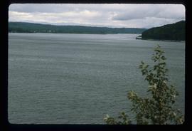
Image depicts an eastern view over Eaglet Lake.
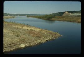
Image depicts the creek flowing into Eaglet Lake. A grey area of hill on the right side of the image appears to be the Giscome Quarry. Map coordinates 54°04'26.2"N 122°22'04.3"W
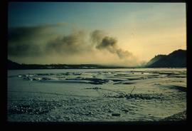
Image depicts Eaglet Lake in the winter taken from Giscome, B.C. Map coordinates 54°04'20.9"N 122°21'53.1"W
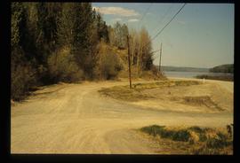
Image depicts the former location of the Giscome mill foreman's house on the hill with Eaglet Lake in the background. Map coordinates 54°04'28.0"N 122°22'05.8"W
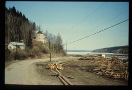
Image depicts the Giscome mill foreman's house on the hill, with Eaglet Lake in the background and numerous piles of logs in the foreground. Map coordinates 54°04'28.0"N 122°22'05.8"W
This photograph collection consists of 53 photographs featuring primarily Giscome with a few of Prince George. Subjects include the Eagle Lake Sawmill, Eagle Lake, Giscome townsite (including specific buildings and general road perspectives), Giscome School, Division II class photos (1950-51), and the Giscome School teacherage.
