Subseries contains material collected and created by Kent Sedgwick for research on various areas in British Columbia and Alberta. Includes written notes by Kent Sedgwick, pamphlets, and newspaper clippings relating to towns and settlements. These areas include Quesnel, Likely, the Yukon Telegraph Trail, Barkerville, Wells, the Cariboo region, Fort Alexandria, Soda Creek, the Chilcotin region, Jasper, the Rocky Mountains, Mackenzie, Tumbler Ridge, the Peace River region, Fort St. James, the Omineca region, Kitimat, Lethbridge, the Bulkley Valley, and Fort Mcleod. These files cover a variety of topics including Chinese people in British Columbia, land settlement, tourism, and historic information on the regions.
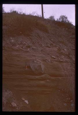
Image depicts a boulder protruding from layers of sediment with a hammer beside it for size reference. It is located somewhere in Soda Creek, B.C.
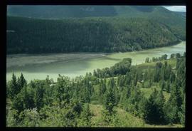
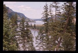
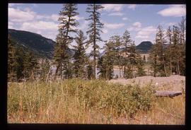
Image depicts a forest and river in Soda Creek, B.C.
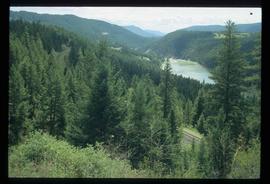
Image depicts rail road tracks through a forest, as well as a river; located in Soda Creek, B.C.
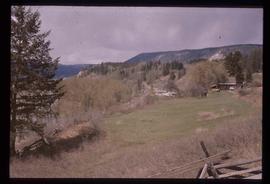
Image depicts a section of land, with a few houses, in Soda Creek, B.C.
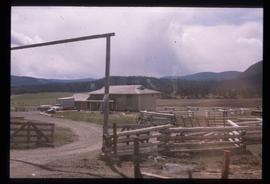
Image depicts what appears to be a Ranch at Soda Creek, B.C.
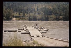
Image depicts the ferry at Soda Creek, B.C.
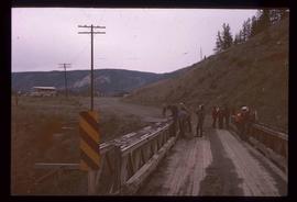
Image depicts a bridge at Soda Creek, B.C. There are numerous unknown individuals present.
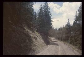
Image depicts the Cariboo Road in Soda Creek, B.C.
Image depicts the Fraser River, south of Soda Creek, B.C.
Image depicts the Fraser River, south of Soda Creek, B.C.
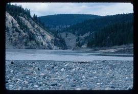
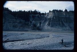
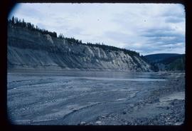
Image depicts the cutbanks of the Fraser River at Soda Creek, B.C.
Image depicts the cutbanks of the Fraser River at Soda Creek, B.C.
Image depicts the cutbanks of the Fraser River at Soda Creek, B.C.
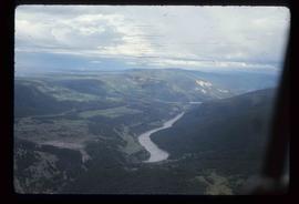
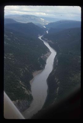
Image depicts an aerial view of the Fraser River near Soda Creek, B.C.
Image depicts an aerial view of the Fraser River near Soda Creek, B.C.
