Map depicts the Gulf of Alaska, Pacific Ocean, Chicagof Island, Baranof Island, Alaskan Boarder, Yukon Territory Boarder, Telegraph Creek, Dease Lake and "Mount Brook" along the Graham Inlet.
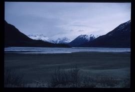
Image depicts Bennett Lake near Carcross, Y.T.
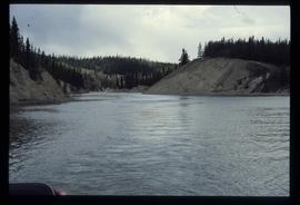
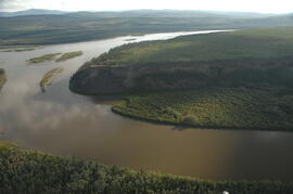
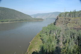
Image depicts a river at an uncertain location, but possibly in Miles Canyon near Whitehorse, Y.T.
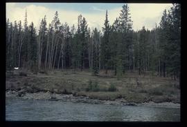
Image depicts numerous trees on the bank of a river, possibly in Miles Canyon near Whitehorse, Y.T. The slide is labelled "canyon city."
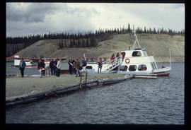
Image depicts numerous unidentified individuals getting off a boat which bears the name "Schwatka." It is located somewhere in Miles Canyon.
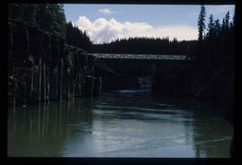
Image depicts the Robert Lowe Bridge, built in 1922, in the Miles Canyon near Whitehorse Y.T.
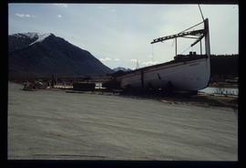
Image depicts half of a ship, which is named the Tutshi, in Carcross, Y.T.
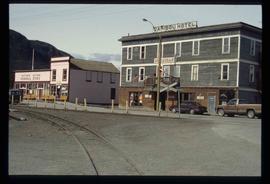
Image depicts the Caribou Hotel and the Matthew Watson General Store in Carcross, Y.T.
This data set consists of elemental analysis data for selected B horizons from Wounded Moose paleosols sampled by Tarnocai and Smith. The file includes the original ALS lab report, additional panes showing comparison of replicates, and calculation of a weathering index.
Tarnocai and Smith recorded their site locations on NTS topographical maps, and provided a set of scans of these maps.
Scanned topographical maps with Tarnocai & Smith site locations:
ARCTIC RED RIVER.TIF
AUSTRALIA MOUNTAIN.TIF
CARMACKS.TIF
CLEAR CREEK.TIF
COLDSPRING MOUNTAIN.TIF
DAWSON-1.TIF
DAWSON-2.TIF
DAWSON-3.TIF
ETHEL LAKE.TIF
FLAT CREEK.TIF
GARNER CREEK.TIF
GRAND FORKS.TIF
GRAND VALLEY CREEK.TIF
GRAVEL CREEK.TIF
GRAVEL LAKE.TIF
HART RIVER.TIF
LARSEN CREEK.TIF
LEE CREEK.TIF
MAYO.TIF
McQUESTEN-1.TIF
McQUESTEN-2.TIF
McQUESTEN-3.TIF
MEDRICK CREEK.TIF
MINTO LAKE.TIF
MOOSE CREEK.TIF
OGILVIE RIVER.TIF
PIRATE CREEK.TIF
RABBIT CREEK-1.TIF
RABBIT CREEK-2.TIF
REID LAKES.TIF
ROSEBUD CREEK.TIF
SEATTLE CREEK.TIF
SPRAGUE CREEK.TIF
STEWART CROSSING.TIF
STEWART RIVER.TIF
SUMMIT LAKE.TIF
SWEDE CREEK.TIF
WILLOW LAKE.TIF
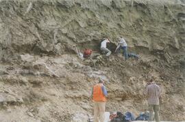
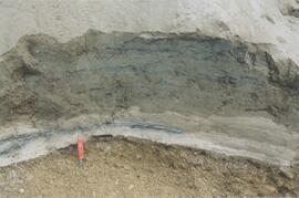
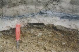
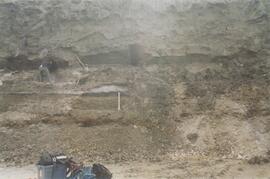
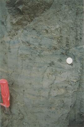
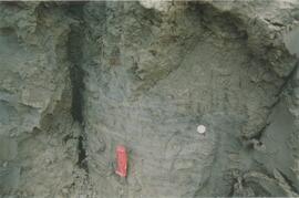
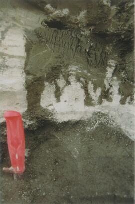
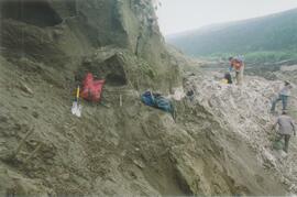
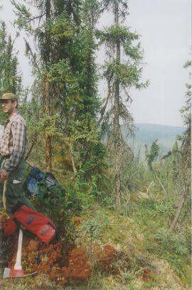
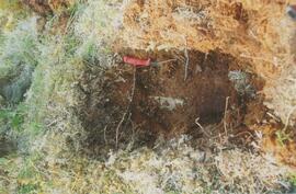
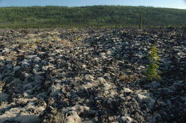
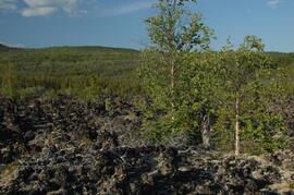
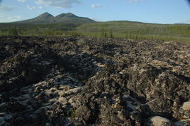
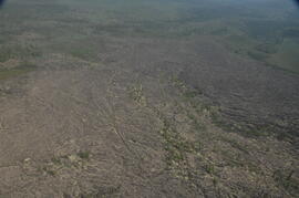
In July 2009, Dr. Paul Sanborn undertook the first soils field research at the Fort Selkirk volcanic field in central Yukon, with helicopter support and funding from the Yukon Geological Survey. This document is a complete transcription of field notes, with
soil and site photographs.
This image appears as Figure 11 in the publication:
Sanborn, P., 2010. Soil reconnaissance of the Fort Selkirk volcanic field, Yukon (115I/13 and 14).
In: Yukon Exploration and Geology 2009, K.E. MacFarlane, L.H. Weston and L.R. Blackburn
(eds.), Yukon Geological Survey, Whitehorse, Yukon. pp. 293-304. https://emrlibrary.gov.yk.ca/ygs/yeg/2009/2009_p293-304.pdf
This PDF contains 2009 Kluane site notes that include details of transect locations and sampling sites. Grassland pedons selected for Pautler et al. (2014) are indicated.
Slide roll contains the following photographs:
Cultus Bay / Rat Lake
Date: August 10, 2003
Location Coordinates: 61° 09’ 57.1” N, 138° 25’ 25.5” W, 806 m asl (± 6.2 m)
Slides #17-15: Rat Lake area (corresponding prints and negatives: Print roll 3, #13A-16A)
Slides #14-13: Collema & Psora crusts on exposed ridge on coarser substrate where loess has blown off (Corresponding prints and negatives: Print roll 3, #17A-19A)
Y03-03 (Rat Lake)
Date: August 10, 2003
Location Coordinates: 61° 10’ 3.5” N, 138° 25’ 37.2” W, 798.3 m asl (± 13.0 m)
Site Description: SW aspect, 45% slope; vegetation: Carex filifolia, A. frigida, Elymus trachycaulis
Sample Depths & Descriptions:
- Y03-03-01 - Crust
- Y03-03-02 - 0-9 cm - Ahk (10YR 4/2 m; weak-moderate, fine granular)
- Y03-03-03 - 9-53 cm+ - Ck (2.5Y 6/3 m; massive)
Slides #12-10 (corresponding prints and negatives: Print roll 3, #20A-22A)
Y03-04 (Rat Lake)
Date: August 10, 2003
Location Coordinates: 61° 10’ 10.5” N, 138° 26’ 3.7” W, 800.2 m asl (± 8.7 m)
Site Description: S aspect, 40% slope; vegetation: Elymus, Artemisia, flax, Penstemon, Linum lewisii
Sample Depths & Descriptions:
- Y03-04-01 - Crust
- Y03-04-02 - 0-6 cm - Ck (strongly effervescent)
- Y03-04-03 - 6-16 cm - Ahkb
- Y03-04-04 -16-75 cm+ - Ck (strongly effervescent; includes Bmk pockets)
Slides #9-7 (corresponding prints and negatives: Print roll 3, #25A-28A)
Y03-05 (SE of Rat Lake)
Date: August 10, 2003
Location Coordinates: 61° 9’ 43.2” N, 138° 25’ 34.8” W, 811.5 m asl (± 8.9 m)
Site Description: upper slope / crest; recent local sandy eolian veneer over older loess; vegetation: Carex, Elymus, Poa, Erigeron
Sample Depths & Descriptions:
- Y03-05-01 - Crust
- Y03-05-02 - 0-5 cm - Ahk
- Y03-05-03 - 5-19 cm - Ck1
- Y03-05-04 - 19-31 cm - Ahkb (siltier)
- Y03-05-05 - 31-50 cm+ - Ck2
Slides #6-1 (corresponding prints and negatives: Print roll 3, #34A-#E)
